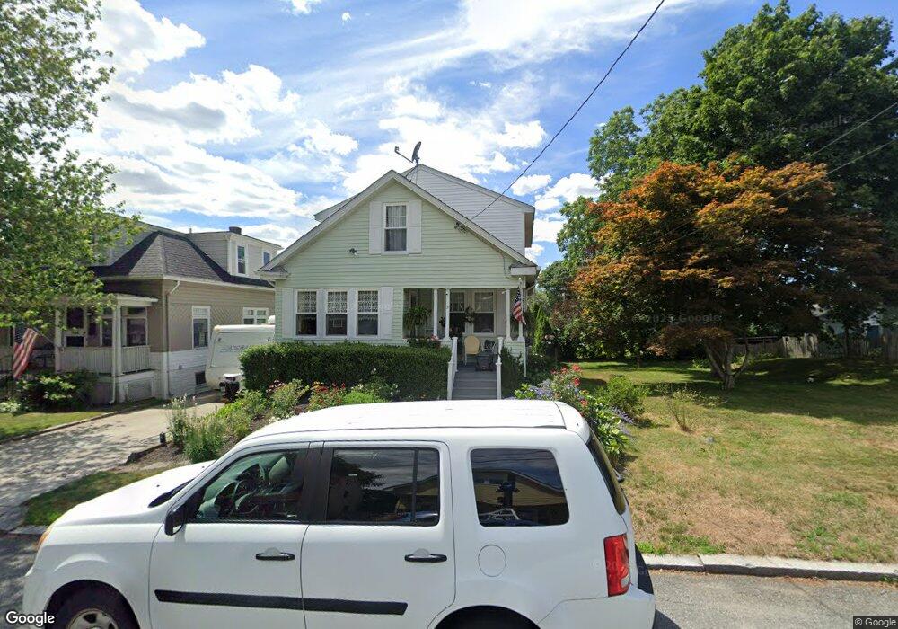
31 Sumach Ave Riverside, RI 02915
Kent Heights NeighborhoodEstimated Value: $477,561 - $633,000
4
Beds
2
Baths
1,969
Sq Ft
$275/Sq Ft
Est. Value
About This Home
This home is located at 31 Sumach Ave, Riverside, RI 02915 and is currently estimated at $541,640, approximately $275 per square foot. 31 Sumach Ave is a home located in Providence County with nearby schools including East Providence High School, The Gordon School, and St Mary Academy-Bay View.
Ownership History
Date
Name
Owned For
Owner Type
Purchase Details
Closed on
Mar 31, 1992
Sold by
Norgren Alice H
Bought by
Travassos James E
Current Estimated Value
Create a Home Valuation Report for This Property
The Home Valuation Report is an in-depth analysis detailing your home's value as well as a comparison with similar homes in the area
Home Values in the Area
Average Home Value in this Area
Purchase History
| Date | Buyer | Sale Price | Title Company |
|---|---|---|---|
| Travassos James E | $87,000 | -- | |
| Travassos James E | $87,000 | -- |
Source: Public Records
Mortgage History
| Date | Status | Borrower | Loan Amount |
|---|---|---|---|
| Open | Travassos James E | $148,000 | |
| Closed | Travassos James E | $40,000 | |
| Closed | Travassos James E | $160,000 |
Source: Public Records
Tax History
| Year | Tax Paid | Tax Assessment Tax Assessment Total Assessment is a certain percentage of the fair market value that is determined by local assessors to be the total taxable value of land and additions on the property. | Land | Improvement |
|---|---|---|---|---|
| 2025 | $6,146 | $470,200 | $115,200 | $355,000 |
| 2024 | $5,626 | $367,000 | $96,100 | $270,900 |
| 2023 | $5,417 | $367,000 | $96,100 | $270,900 |
| 2022 | $5,559 | $254,300 | $51,300 | $203,000 |
| 2021 | $5,467 | $254,300 | $51,300 | $203,000 |
| 2020 | $5,236 | $254,300 | $51,300 | $203,000 |
| 2019 | $5,091 | $254,300 | $51,300 | $203,000 |
| 2018 | $4,979 | $217,600 | $52,300 | $165,300 |
| 2017 | $4,868 | $217,600 | $52,300 | $165,300 |
| 2016 | $4,844 | $217,600 | $52,300 | $165,300 |
| 2015 | $4,576 | $199,400 | $46,100 | $153,300 |
| 2014 | $4,576 | $199,400 | $46,100 | $153,300 |
Source: Public Records
Map
Nearby Homes
- 53 Wampanoag Trail
- 34 Commack Rd
- 2941 Pawtucket Ave
- 42 Mountain Ave
- 29 Ide Ave
- 77 Gardiner Ave
- 177 Dover Ave
- 74 Brookhaven Dr
- 151 Dover Ave
- 26 Callender Ave
- 158 S Rose St
- 191 S Spruce St
- 21 Donnelly St
- 378 Juniper St
- 25 Ingraham St
- 58 Swan St
- 44 Charles St
- 6 Fuller Ave
- 41 Follett St
- 25 Bullocks Point Ave Unit 5C
- 37 Sumach Ave
- 19 Sumach Ave
- 34 Sumach Ave
- 36 Sumach Ave
- 418 Dover Ave
- 45 Sumach Ave
- 28 Sumach Ave
- 18 Sumach Ave
- 38 Sumach Ave
- 430 Dover Ave
- 65 Wampanoag Trail
- 450 Dover Ave
- 75 Wampanoag Trail
- 10 Sumach Ave
- 61 Wampanoag Trail
- 414 Dover Ave Unit 416
- 49 Sumach Ave
- 0 Sumach Ave
- 42 Sumach Ave
- 2 Sumach Ave
Your Personal Tour Guide
Ask me questions while you tour the home.