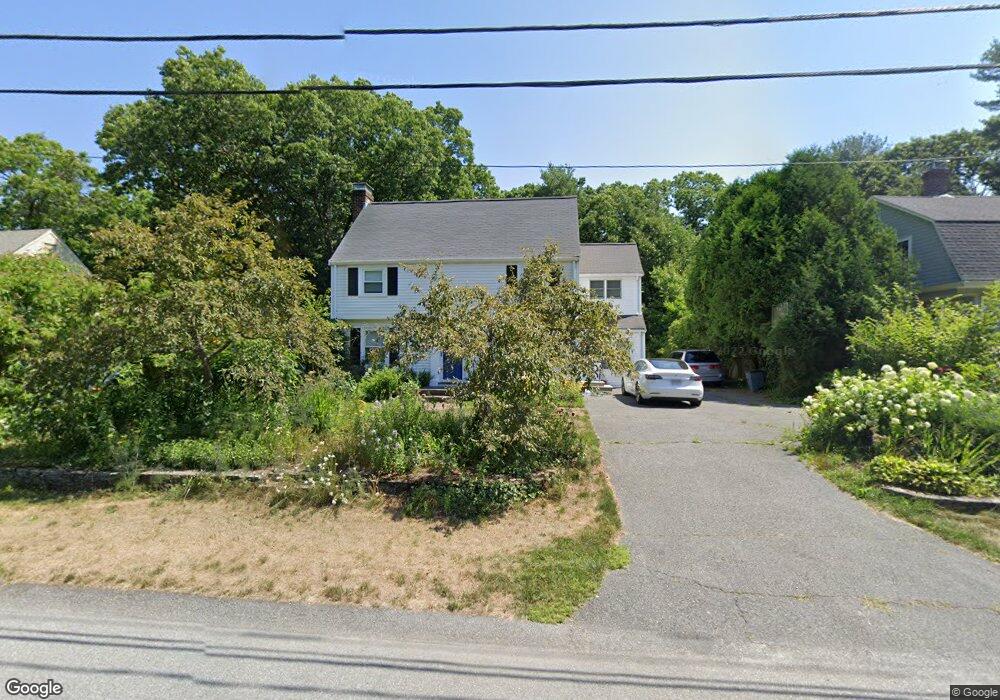
31 Summit Rd Wellesley, MA 02482
Wellesley Square NeighborhoodEstimated Value: $1,908,980 - $2,239,000
5
Beds
3
Baths
3,081
Sq Ft
$686/Sq Ft
Est. Value
About This Home
This home is located at 31 Summit Rd, Wellesley, MA 02482 and is currently estimated at $2,113,495, approximately $685 per square foot. 31 Summit Rd is a home located in Norfolk County with nearby schools including Sprague Elementary School, Wellesley Middle School, and Wellesley Sr High School.
Ownership History
Date
Name
Owned For
Owner Type
Purchase Details
Closed on
Jul 20, 2015
Sold by
Jgg Rt and Boland
Bought by
Boland Giles W and Boland Judith M
Current Estimated Value
Home Financials for this Owner
Home Financials are based on the most recent Mortgage that was taken out on this home.
Original Mortgage
$905,000
Interest Rate
3.88%
Mortgage Type
Purchase Money Mortgage
Purchase Details
Closed on
Sep 4, 2007
Sold by
Boland Giles W and Boland Judith M C
Bought by
Jgb Rt and Boland Giles W L
Purchase Details
Closed on
Dec 13, 1996
Sold by
Griffin Family Rt
Bought by
Boland Giles W and Boland Judith M
Home Financials for this Owner
Home Financials are based on the most recent Mortgage that was taken out on this home.
Original Mortgage
$207,000
Interest Rate
7.75%
Mortgage Type
Purchase Money Mortgage
Create a Home Valuation Report for This Property
The Home Valuation Report is an in-depth analysis detailing your home's value as well as a comparison with similar homes in the area
Home Values in the Area
Average Home Value in this Area
Purchase History
| Date | Buyer | Sale Price | Title Company |
|---|---|---|---|
| Boland Giles W | -- | -- | |
| Jgb Rt | -- | -- | |
| Boland Giles W | $460,000 | -- | |
| Boland Giles W | -- | -- | |
| Jgb Rt | -- | -- | |
| Boland Giles W | $460,000 | -- |
Source: Public Records
Mortgage History
| Date | Status | Borrower | Loan Amount |
|---|---|---|---|
| Closed | Boland Giles W | $905,000 | |
| Previous Owner | Boland Giles W | $408,500 | |
| Previous Owner | Boland Giles W | $207,000 |
Source: Public Records
Tax History
| Year | Tax Paid | Tax Assessment Tax Assessment Total Assessment is a certain percentage of the fair market value that is determined by local assessors to be the total taxable value of land and additions on the property. | Land | Improvement |
|---|---|---|---|---|
| 2025 | $15,081 | $1,467,000 | $1,030,000 | $437,000 |
| 2024 | $14,137 | $1,358,000 | $937,000 | $421,000 |
| 2023 | $13,923 | $1,216,000 | $830,000 | $386,000 |
| 2022 | $13,058 | $1,118,000 | $713,000 | $405,000 |
| 2021 | $12,772 | $1,087,000 | $682,000 | $405,000 |
| 2020 | $12,566 | $1,087,000 | $682,000 | $405,000 |
| 2019 | $12,218 | $1,056,000 | $651,000 | $405,000 |
| 2018 | $12,631 | $1,057,000 | $631,000 | $426,000 |
| 2017 | $12,462 | $1,057,000 | $631,000 | $426,000 |
| 2016 | $12,185 | $1,030,000 | $620,000 | $410,000 |
| 2015 | -- | $1,000,000 | $590,000 | $410,000 |
Source: Public Records
Map
Nearby Homes
- 33 Avon Rd
- 63 Oak St Unit B
- 148 Weston Rd Unit 208
- 148 Weston Rd Unit 207
- 63 Linden St Unit 1
- 100 Linden St Unit 111
- 16 Stearns Rd Unit 101
- 16 Stearns Rd Unit 106
- 16 Stearns Rd Unit 103
- 16 Stearns Rd Unit 301
- 16 Stearns Rd Unit 304
- 16 Stearns Rd Unit 104
- 29 Pinewood Rd
- 5 Abbott St
- 25 Mansfield Rd
- 18 Sprague Rd
- 201 Lowell Rd
- 85 Grove St Unit 311
- 85 Grove St Unit 306
- 9 Hampden St
Your Personal Tour Guide
Ask me questions while you tour the home.