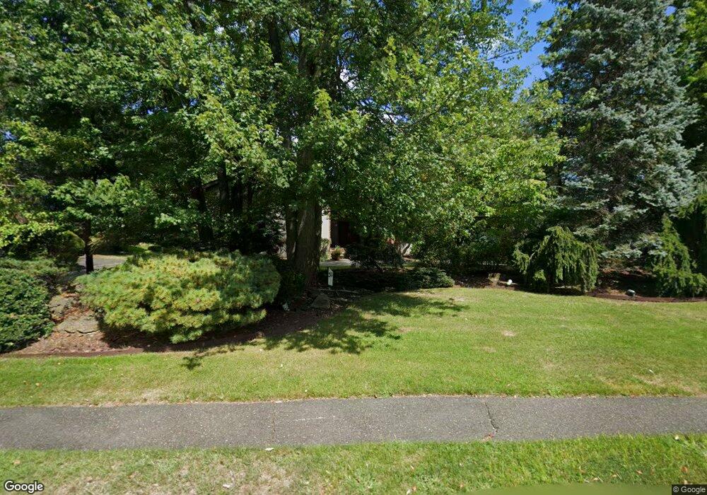
31 Surrey Ln Livingston, NJ 07039
Estimated Value: $2,103,000 - $2,237,000
--
Bed
--
Bath
4,765
Sq Ft
$454/Sq Ft
Est. Value
About This Home
This home is located at 31 Surrey Ln, Livingston, NJ 07039 and is currently estimated at $2,164,252, approximately $454 per square foot. 31 Surrey Ln is a home located in Essex County with nearby schools including Livingston Sr High School and Aquinas Academy.
Ownership History
Date
Name
Owned For
Owner Type
Purchase Details
Closed on
Jun 16, 2011
Sold by
Chanin Matthew J and Chanin Debra J
Bought by
Stoch Selwyn Aubrey and Stoch Sharon Margulies
Current Estimated Value
Home Financials for this Owner
Home Financials are based on the most recent Mortgage that was taken out on this home.
Original Mortgage
$450,000
Outstanding Balance
$175,183
Interest Rate
4.74%
Mortgage Type
New Conventional
Estimated Equity
$1,989,069
Create a Home Valuation Report for This Property
The Home Valuation Report is an in-depth analysis detailing your home's value as well as a comparison with similar homes in the area
Home Values in the Area
Average Home Value in this Area
Purchase History
| Date | Buyer | Sale Price | Title Company |
|---|---|---|---|
| Stoch Selwyn Aubrey | $1,200,000 | Chicago Title Insurance Co |
Source: Public Records
Mortgage History
| Date | Status | Borrower | Loan Amount |
|---|---|---|---|
| Open | Stoch Selwyn Aubrey | $450,000 |
Source: Public Records
Tax History Compared to Growth
Tax History
| Year | Tax Paid | Tax Assessment Tax Assessment Total Assessment is a certain percentage of the fair market value that is determined by local assessors to be the total taxable value of land and additions on the property. | Land | Improvement |
|---|---|---|---|---|
| 2025 | $26,597 | $1,121,300 | $456,400 | $664,900 |
| 2024 | $26,597 | $1,121,300 | $456,400 | $664,900 |
| 2022 | $26,160 | $1,121,300 | $456,400 | $664,900 |
| 2021 | $25,947 | $1,121,300 | $456,400 | $664,900 |
| 2020 | $25,465 | $1,121,300 | $456,400 | $664,900 |
| 2019 | $26,856 | $1,026,600 | $476,400 | $550,200 |
| 2018 | $26,497 | $1,026,600 | $476,400 | $550,200 |
| 2017 | $26,148 | $1,026,600 | $476,400 | $550,200 |
| 2016 | $25,665 | $1,026,600 | $476,400 | $550,200 |
| 2015 | $25,285 | $1,026,600 | $476,400 | $550,200 |
| 2014 | $24,464 | $1,026,600 | $476,400 | $550,200 |
Source: Public Records
Map
Nearby Homes
- 224 W Mount Pleasant Ave
- 15 Highland Dr
- 21 Highland Dr
- 30 Grand Terrace
- 76 N Ashby Ave
- 18 Claremont Ave
- 94 W Cedar St
- 27 Mounthaven Dr
- 44 Lincoln Ave
- 19 Hearthstone Terrace
- 96 Belmont Dr
- 6 Mayhew Dr
- 13 Beverly Rd
- 76 S Ashby Ave
- 53 Rockledge Dr
- 8 Roosevelt Terrace
- 63 N Livingston Ave
- 27 Filmore Ave
- 52 Congressional Pkwy
- 11 Beresford Ln