31 Swing About Hilton Head Island, SC 29928
Palmetto Dunes NeighborhoodEstimated Value: $1,785,000 - $1,967,215
4
Beds
5
Baths
3,221
Sq Ft
$584/Sq Ft
Est. Value
About This Home
This home is located at 31 Swing About, Hilton Head Island, SC 29928 and is currently estimated at $1,879,804, approximately $583 per square foot. 31 Swing About is a home located in Beaufort County with nearby schools including Hilton Head Island Early Childhood Center, Hilton Head Island Elementary School, and Hilton Head Island Middle School.
Ownership History
Date
Name
Owned For
Owner Type
Purchase Details
Closed on
Mar 7, 2006
Sold by
Sudol John F and Sudol Jenny M
Bought by
Ferguson Benjamin J
Current Estimated Value
Home Financials for this Owner
Home Financials are based on the most recent Mortgage that was taken out on this home.
Original Mortgage
$900,000
Outstanding Balance
$511,044
Interest Rate
6.25%
Mortgage Type
Fannie Mae Freddie Mac
Estimated Equity
$1,368,760
Create a Home Valuation Report for This Property
The Home Valuation Report is an in-depth analysis detailing your home's value as well as a comparison with similar homes in the area
Home Values in the Area
Average Home Value in this Area
Purchase History
| Date | Buyer | Sale Price | Title Company |
|---|---|---|---|
| Ferguson Benjamin J | $428,000 | None Available |
Source: Public Records
Mortgage History
| Date | Status | Borrower | Loan Amount |
|---|---|---|---|
| Open | Ferguson Benjamin J | $900,000 |
Source: Public Records
Tax History Compared to Growth
Tax History
| Year | Tax Paid | Tax Assessment Tax Assessment Total Assessment is a certain percentage of the fair market value that is determined by local assessors to be the total taxable value of land and additions on the property. | Land | Improvement |
|---|---|---|---|---|
| 2024 | $16,298 | $63,340 | $0 | $0 |
| 2023 | $16,141 | $63,340 | $0 | $0 |
| 2022 | $14,645 | $55,080 | $0 | $0 |
| 2021 | $14,679 | $55,080 | $0 | $0 |
| 2020 | $14,227 | $55,080 | $0 | $0 |
| 2019 | $13,927 | $55,080 | $0 | $0 |
| 2018 | $14,100 | $58,650 | $0 | $0 |
| 2017 | $12,806 | $51,000 | $0 | $0 |
| 2016 | $3,624 | $27,580 | $0 | $0 |
| 2014 | $3,300 | $27,580 | $0 | $0 |
Source: Public Records
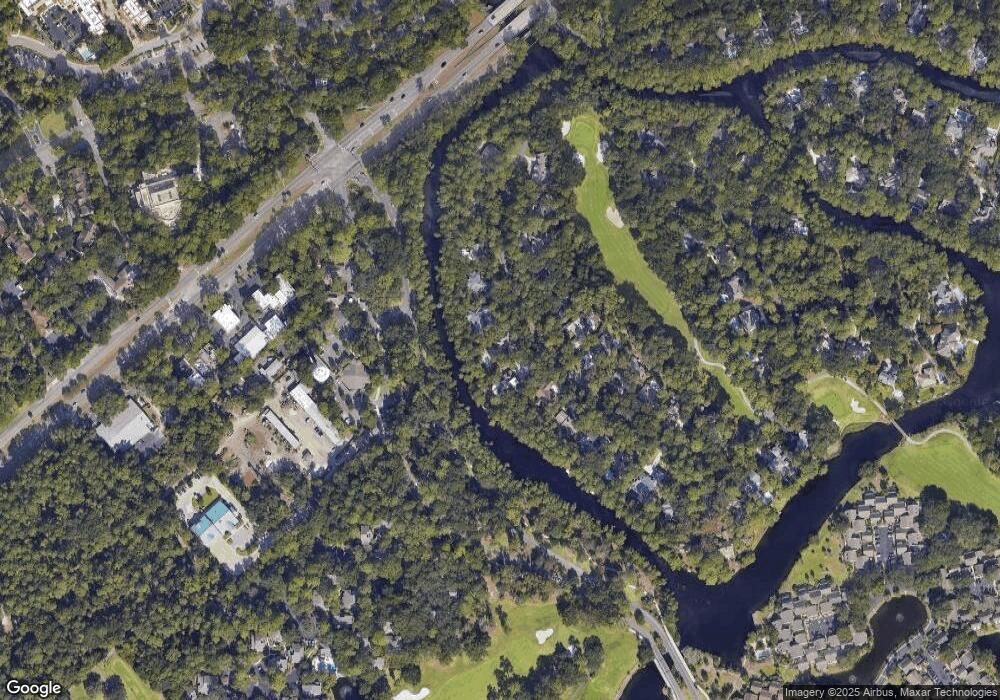
Map
Nearby Homes
- 20 Queens Folly Rd Unit 1782
- 20 Queens Folly Rd Unit 1667
- 20 Queens Folly Rd Unit 1981
- 20 Queens Folly Rd Unit 1661
- 20 Queens Folly Rd Unit 1677
- 20 Queens Folly Rd Unit 1863
- 19 Shelter Cove Ln Unit 207
- 13 Harbourside Ln Unit 7170
- 13 Harbourside Ln Unit 7165
- 13 Harbourside Ln Unit 7154
- 20 Tradewinds Trace Unit 4
- 9 Harbourside Ln Unit 7330C
- 9 Harbourside Ln Unit 7302B
- 9 Harbourside Ln Unit 7327B
- 9 Harbourside Ln Unit 7338B
- 9 Harbourside Ln Unit 7338A
- 12 Brittany Place Dr Unit 12
- 37 Haul Away
- 10 Newport Dr Unit 3302
- 5 Newport Dr Unit 2200
- 29 Swing About
- 33 Swing About
- 27 Swing About
- 35 Swing About
- 30 Swing About
- 34 Swing About
- 25 Swing About
- 37 Swing About
- 26 Swing About
- 36 Swing About
- 24 Swing About
- 23 Swing About
- 39 Swing About
- 38 Swing About
- 20 Swing About
- 21 Swing About
- 1654 Saint Andrews Common Unit 1654
- 1780 Saint Andrews Common Unit 1780
- 1779 Saint Andrews Common Unit 1779
- 1771 Saint Andrews Common Unit 1771