31 Tanglewood Way Carlisle, MA 01741
Estimated Value: $2,038,513 - $2,443,000
4
Beds
5
Baths
5,515
Sq Ft
$406/Sq Ft
Est. Value
About This Home
This home is located at 31 Tanglewood Way, Carlisle, MA 01741 and is currently estimated at $2,238,878, approximately $405 per square foot. 31 Tanglewood Way is a home located in Middlesex County with nearby schools including Carlisle School and Concord Carlisle High School.
Ownership History
Date
Name
Owned For
Owner Type
Purchase Details
Closed on
Jul 28, 2004
Sold by
Great Brook Rt and Gould Albert Ira
Bought by
Burliss Charles J and Burliss Kristin B
Current Estimated Value
Create a Home Valuation Report for This Property
The Home Valuation Report is an in-depth analysis detailing your home's value as well as a comparison with similar homes in the area
Home Values in the Area
Average Home Value in this Area
Purchase History
| Date | Buyer | Sale Price | Title Company |
|---|---|---|---|
| Burliss Charles J | $525,000 | -- |
Source: Public Records
Tax History Compared to Growth
Tax History
| Year | Tax Paid | Tax Assessment Tax Assessment Total Assessment is a certain percentage of the fair market value that is determined by local assessors to be the total taxable value of land and additions on the property. | Land | Improvement |
|---|---|---|---|---|
| 2025 | $26,985 | $2,047,400 | $588,600 | $1,458,800 |
| 2024 | $26,461 | $1,985,100 | $545,000 | $1,440,100 |
| 2023 | $26,957 | $1,905,100 | $523,000 | $1,382,100 |
| 2022 | $27,456 | $1,664,000 | $501,100 | $1,162,900 |
| 2021 | $27,090 | $1,664,000 | $501,100 | $1,162,900 |
| 2020 | $29,817 | $1,624,000 | $457,600 | $1,166,400 |
| 2019 | $28,499 | $1,558,200 | $422,700 | $1,135,500 |
| 2018 | $28,312 | $1,558,200 | $422,700 | $1,135,500 |
| 2017 | $27,262 | $1,547,200 | $422,700 | $1,124,500 |
| 2016 | $26,612 | $1,547,200 | $422,700 | $1,124,500 |
| 2015 | $26,934 | $1,417,600 | $422,700 | $994,900 |
| 2014 | $26,424 | $1,417,600 | $422,700 | $994,900 |
Source: Public Records
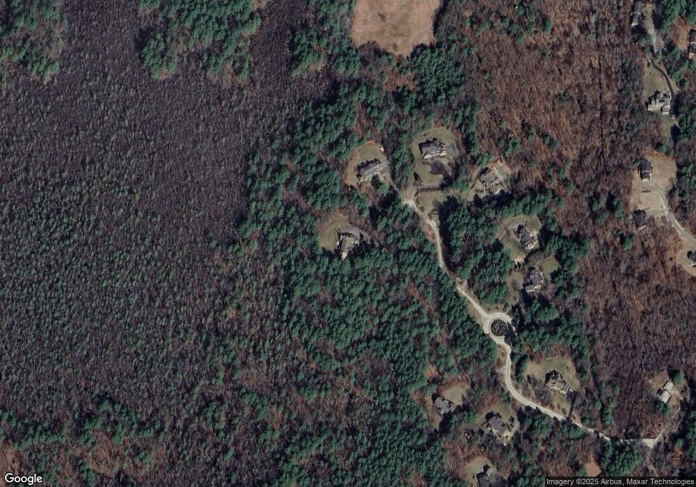
Map
Nearby Homes
- 3 Kay's Walk
- 15 Kay's Walk
- 1 Kay's Walk Unit 1
- 1 Kay's Walk
- 13 Kay's Walk
- 15 Kay's Walk Unit 4
- 3 Kay's Walk Unit 3
- 8 Kay's Walk Unit 13
- 14 Kay's Walk
- 6 Kay's Walk Unit 6
- 6 Kay's Walk
- 2 Kay's Walk Unit 18
- 4 Kay's Walk Unit 15
- 225 Lowell St
- 383 E Riding Dr
- 373 E Riding Dr
- 13 Westgate Rd
- 11 Simonds Farm Rd
- 282 Brook St
- 198 Nashua Rd
- 64 Tanglewood Way
- 60 Tanglewood Way
- 48 Tanglewood Way
- 14 Tanglewood Way
- 73 Great Brook Path
- 96 Great Brook Path
- 51 Great Brook Path
- 124 Aberdeen Dr
- 1 Great Brook Path
- 40 Great Brook Path
- 35 Great Brook Path
- 267 Rutland St
- 134 Pine Brook Rd
- 101 Arrowhead Ln
- 153 Arrowhead Ln
- 102 Aberdeen Dr
- 21 Arrowhead Ln
- 136 Pine Brook Rd
- 181 Rutland St
- 223 Rutland St