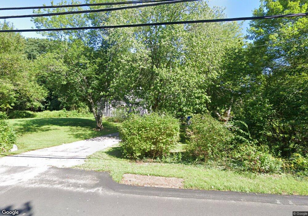
31 Thurston St Wrentham, MA 02093
Estimated Value: $632,000 - $695,349
3
Beds
2
Baths
2,454
Sq Ft
$271/Sq Ft
Est. Value
About This Home
This home is located at 31 Thurston St, Wrentham, MA 02093 and is currently estimated at $664,837, approximately $270 per square foot. 31 Thurston St is a home located in Norfolk County with nearby schools including Delaney Elementary School, Charles E Roderick, and Foxborough Regional Charter School.
Ownership History
Date
Name
Owned For
Owner Type
Purchase Details
Closed on
Feb 17, 2022
Sold by
Chamberlain Ralph and Chamberlain Margaret L
Bought by
Brand Paul A and Corrigan Shannen D
Current Estimated Value
Home Financials for this Owner
Home Financials are based on the most recent Mortgage that was taken out on this home.
Original Mortgage
$432,000
Outstanding Balance
$399,612
Interest Rate
3.55%
Mortgage Type
Purchase Money Mortgage
Estimated Equity
$265,225
Purchase Details
Closed on
Dec 2, 1983
Bought by
Chamberlain Ralph E and Lyster Margaret E
Create a Home Valuation Report for This Property
The Home Valuation Report is an in-depth analysis detailing your home's value as well as a comparison with similar homes in the area
Home Values in the Area
Average Home Value in this Area
Purchase History
| Date | Buyer | Sale Price | Title Company |
|---|---|---|---|
| Brand Paul A | $480,000 | None Available | |
| Chamberlain Ralph E | -- | -- |
Source: Public Records
Mortgage History
| Date | Status | Borrower | Loan Amount |
|---|---|---|---|
| Open | Brand Paul A | $432,000 | |
| Previous Owner | Chamberlain Ralph E | $6,000 | |
| Previous Owner | Chamberlain Ralph E | $85,000 | |
| Previous Owner | Chamberlain Ralph E | $49,000 |
Source: Public Records
Tax History Compared to Growth
Tax History
| Year | Tax Paid | Tax Assessment Tax Assessment Total Assessment is a certain percentage of the fair market value that is determined by local assessors to be the total taxable value of land and additions on the property. | Land | Improvement |
|---|---|---|---|---|
| 2025 | $7,522 | $649,000 | $282,900 | $366,100 |
| 2024 | $7,226 | $602,200 | $282,900 | $319,300 |
| 2023 | $7,394 | $585,900 | $258,900 | $327,000 |
| 2022 | $7,002 | $512,200 | $252,300 | $259,900 |
| 2021 | $6,937 | $493,000 | $237,100 | $255,900 |
| 2020 | $6,273 | $440,200 | $185,700 | $254,500 |
| 2019 | $6,101 | $432,100 | $185,700 | $246,400 |
| 2018 | $5,838 | $410,000 | $184,300 | $225,700 |
| 2017 | $5,747 | $403,300 | $180,800 | $222,500 |
| 2016 | $5,489 | $384,400 | $175,500 | $208,900 |
| 2015 | $5,387 | $359,600 | $168,800 | $190,800 |
| 2014 | $5,336 | $348,500 | $162,400 | $186,100 |
Source: Public Records
Map
Nearby Homes
- 362 East St
- 65 Pond St
- 1 Lorraine Metcalf Dr
- 270 Dedham St
- 10 Nature View Dr
- 15 Nature View Dr
- 120 Hawes St
- 483 Thurston St
- 319 Taunton St
- 25 Foxboro Rd
- 131 Creek St Unit 7
- 11 Earle Stewart Ln
- 11 Goodwin Dr
- Lot 3 - 14 Earle Stewart Ln
- Lot 1 - Blueberry 2 Car Plan at King Philip Estates
- Lot 8 - Blueberry 2 Car Plan at King Philip Estates
- Lot 6 - Blueberry 3 Car Plan at King Philip Estates
- Lot 2 - Camden 2 Car Plan at King Philip Estates
- Lot 7 - Cedar Plan at King Philip Estates
- Lot 4 - Hemingway 2 Car Plan at King Philip Estates