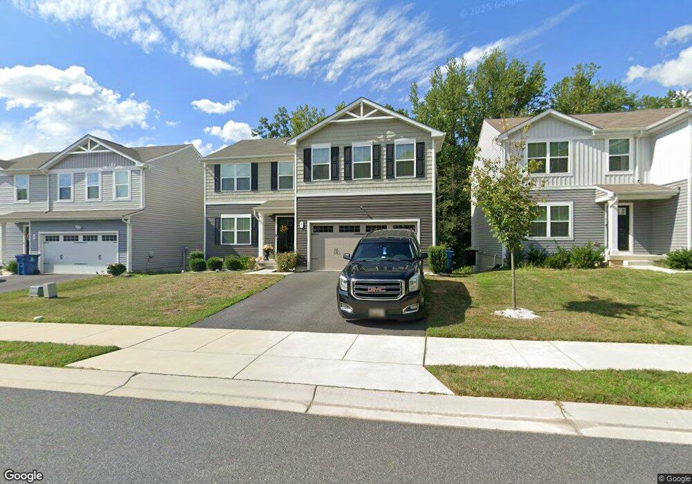
31 Tilia Dr Elkton, MD 21921
Estimated Value: $413,000 - $453,000
--
Bed
1
Bath
2,200
Sq Ft
$195/Sq Ft
Est. Value
About This Home
This home is located at 31 Tilia Dr, Elkton, MD 21921 and is currently estimated at $429,991, approximately $195 per square foot. 31 Tilia Dr is a home with nearby schools including North East Elementary School, North East Middle School, and North East High School.
Ownership History
Date
Name
Owned For
Owner Type
Purchase Details
Closed on
Oct 30, 2020
Sold by
Nvr Inc
Bought by
Tooles Roshonda Demetrice and Tooles Darian Neil
Current Estimated Value
Home Financials for this Owner
Home Financials are based on the most recent Mortgage that was taken out on this home.
Original Mortgage
$326,108
Outstanding Balance
$290,190
Interest Rate
2.8%
Mortgage Type
FHA
Estimated Equity
$139,801
Purchase Details
Closed on
Jul 27, 2020
Sold by
Worf Llc
Bought by
Nvr Inc
Purchase Details
Closed on
Aug 27, 2019
Sold by
1P H Properties Llc
Bought by
Worf Llc
Home Financials for this Owner
Home Financials are based on the most recent Mortgage that was taken out on this home.
Original Mortgage
$600,000
Interest Rate
3.7%
Mortgage Type
Credit Line Revolving
Create a Home Valuation Report for This Property
The Home Valuation Report is an in-depth analysis detailing your home's value as well as a comparison with similar homes in the area
Home Values in the Area
Average Home Value in this Area
Purchase History
| Date | Buyer | Sale Price | Title Company |
|---|---|---|---|
| Tooles Roshonda Demetrice | $332,225 | Nvr Settlement Services Inc | |
| Nvr Inc | $259,620 | Nvr Settlement Services | |
| Worf Llc | $900,000 | None Available |
Source: Public Records
Mortgage History
| Date | Status | Borrower | Loan Amount |
|---|---|---|---|
| Open | Tooles Roshonda Demetrice | $326,108 | |
| Previous Owner | Worf Llc | $600,000 |
Source: Public Records
Tax History Compared to Growth
Tax History
| Year | Tax Paid | Tax Assessment Tax Assessment Total Assessment is a certain percentage of the fair market value that is determined by local assessors to be the total taxable value of land and additions on the property. | Land | Improvement |
|---|---|---|---|---|
| 2025 | $5,448 | $324,767 | $0 | $0 |
| 2024 | $4,919 | $314,233 | $0 | $0 |
| 2023 | $4,421 | $303,700 | $97,500 | $206,200 |
| 2022 | $5,016 | $295,267 | $0 | $0 |
| 2021 | $4,915 | $286,833 | $0 | $0 |
| 2020 | $795 | $48,700 | $48,700 | $0 |
| 2019 | $797 | $48,800 | $0 | $0 |
| 2018 | $773 | $47,300 | $0 | $0 |
| 2017 | $698 | $45,800 | $0 | $0 |
| 2016 | $671 | $44,100 | $0 | $0 |
| 2015 | $671 | $42,400 | $0 | $0 |
| 2014 | $618 | $40,700 | $0 | $0 |
Source: Public Records
Map
Nearby Homes
- 0 Mallory Way Unit MDCC2003990
- 0 Mallory Way Unit MDCC169342
- 62 Rehill Ave
- 13 Forest Dr
- 14 Mallory Way Unit WYNDHAM
- 21 Goldspire Dr
- 511 Deans Bank Rd
- 3 Goldspire Dr
- 206 Magnolia Dr
- 11 Sugarberry Dr
- 117 Magnolia Dr
- 104 Magnolia Dr
- 7 Olive Way
- 47 Olive Way
- 33 Juniper Cir
- 25 Teatree Ln
- 12 Tern Ct
- parcel # 66 Rolling Mill Ln
- 653 Mechanics Valley Rd
- 57 Falls Rd