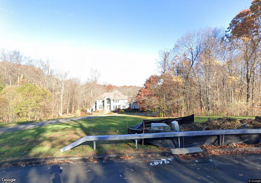
31 Tori Ln Brookfield, CT 06804
Estimated Value: $1,282,000 - $1,520,000
About This Home
This home is located at 31 Tori Ln, Brookfield, CT 06804 and is currently estimated at $1,370,506, approximately $253 per square foot. 31 Tori Ln is a home located in Fairfield County with nearby schools including Whisconier Middle School, Brookfield High School, and Montessori Community School at Brookfield.
Ownership History
We collect this data history from publicly available records. To have your information removed, we recommend requesting removal directly through your county’s website.
Purchase Details
Home Financials for this Owner
Home Financials are based on the most recent Mortgage that was taken out on this home.Purchase Details
Home Values in the Area
Average Home Value in this Area
Purchase History
We collect this data history from publicly available records. To have your information removed, we recommend requesting removal directly through your county’s website.
| Date | Buyer | Sale Price | Title Company |
|---|---|---|---|
| $815,000 | -- | ||
| $815,000 | -- | ||
| $1,100,000 | -- | ||
| $1,100,000 | -- |
Mortgage History
We collect this data history from publicly available records. To have your information removed, we recommend requesting removal directly through your county’s website.
| Date | Status | Borrower | Loan Amount |
|---|---|---|---|
| Open | $601,000 | ||
| Closed | $652,000 |
Tax History
We collect this data history from publicly available records. To have your information removed, we recommend requesting removal directly through your county’s website.
| Year | Tax Paid | Tax Assessment Tax Assessment Total Assessment is a certain percentage of the fair market value that is determined by local assessors to be the total taxable value of land and additions on the property. | Land | Improvement |
|---|---|---|---|---|
| 2025 | $21,499 | $743,130 | $124,450 | $618,680 |
| 2024 | $20,733 | $743,130 | $124,450 | $618,680 |
| 2023 | $19,960 | $743,130 | $124,450 | $618,680 |
| 2022 | $19,232 | $743,130 | $124,450 | $618,680 |
| 2021 | $4,408 | $610,360 | $138,270 | $472,090 |
| 2020 | $33,042 | $610,360 | $138,270 | $472,090 |
| 2019 | $17,786 | $610,360 | $138,270 | $472,090 |
| 2018 | $29,406 | $610,360 | $138,270 | $472,090 |
| 2017 | $16,657 | $610,360 | $138,270 | $472,090 |
| 2016 | $17,841 | $675,790 | $164,080 | $511,710 |
| 2015 | $17,368 | $675,790 | $164,080 | $511,710 |
| 2014 | $17,368 | $675,790 | $164,080 | $511,710 |
Map
- 59 Obtuse Rd S
- 19 Bonny Rd
- 46 High Ridge Rd
- 3 Cherokee Dr
- 16 Apache Dr
- 6 Arapaho Rd
- 7 Arapaho Rd
- 70 Obtuse Hill Rd
- 91 Obtuse Hill Rd
- 95 Obtuse Hill Rd
- 99 Obtuse Hill Rd
- 11 Old Woods Rd
- 16 N Beech Tree Rd
- 6 Brookdale Ln
- 102 Whisconier Rd
- 17 Stage Rd
- 10 Trailing Ridge Rd
- 19 Junction Rd
- 9 Obtuse Rocks Rd
- 169 Whisconier Rd
Ask me questions while you tour the home.