Estimated Value: $962,134 - $1,099,000
4
Beds
3
Baths
2,550
Sq Ft
$403/Sq Ft
Est. Value
About This Home
This home is located at 31 Tuttle Dr, Acton, MA 01720 and is currently estimated at $1,028,034, approximately $403 per square foot. 31 Tuttle Dr is a home located in Middlesex County with nearby schools including Acton-Boxborough Regional High School, Maynard Knowledge Beginnings, and The Imago School.
Ownership History
Date
Name
Owned For
Owner Type
Purchase Details
Closed on
Aug 16, 2018
Sold by
Margolis Michael J and Bersch-Margolis Terri J
Bought by
Place Delpinto-Mogensen K and Place Katherine M
Current Estimated Value
Home Financials for this Owner
Home Financials are based on the most recent Mortgage that was taken out on this home.
Original Mortgage
$453,200
Outstanding Balance
$393,586
Interest Rate
4.5%
Mortgage Type
New Conventional
Estimated Equity
$634,448
Purchase Details
Closed on
Jan 15, 1997
Sold by
Christophe David H and Christophe Martha L
Bought by
Margolis Michael J and Margolis Terri J
Home Financials for this Owner
Home Financials are based on the most recent Mortgage that was taken out on this home.
Original Mortgage
$213,000
Interest Rate
7.36%
Mortgage Type
Purchase Money Mortgage
Purchase Details
Closed on
Aug 11, 1989
Sold by
Shutley Linda F
Bought by
Christophe David H
Create a Home Valuation Report for This Property
The Home Valuation Report is an in-depth analysis detailing your home's value as well as a comparison with similar homes in the area
Home Values in the Area
Average Home Value in this Area
Purchase History
| Date | Buyer | Sale Price | Title Company |
|---|---|---|---|
| Place Delpinto-Mogensen K | $662,500 | -- | |
| Margolis Michael J | $330,000 | -- | |
| Christophe David H | $310,000 | -- |
Source: Public Records
Mortgage History
| Date | Status | Borrower | Loan Amount |
|---|---|---|---|
| Open | Place Delpinto-Mogensen K | $453,200 | |
| Previous Owner | Christophe David H | $150,600 | |
| Previous Owner | Christophe David H | $213,000 |
Source: Public Records
Tax History
| Year | Tax Paid | Tax Assessment Tax Assessment Total Assessment is a certain percentage of the fair market value that is determined by local assessors to be the total taxable value of land and additions on the property. | Land | Improvement |
|---|---|---|---|---|
| 2025 | $14,866 | $866,800 | $346,100 | $520,700 |
| 2024 | $14,124 | $847,300 | $346,100 | $501,200 |
| 2023 | $13,772 | $784,300 | $314,600 | $469,700 |
| 2022 | $13,026 | $669,700 | $273,600 | $396,100 |
| 2021 | $12,706 | $628,100 | $253,000 | $375,100 |
| 2020 | $11,985 | $622,900 | $253,000 | $369,900 |
| 2019 | $11,599 | $598,800 | $253,000 | $345,800 |
| 2018 | $11,394 | $587,900 | $253,000 | $334,900 |
| 2017 | $11,101 | $582,400 | $253,000 | $329,400 |
| 2016 | $10,886 | $566,100 | $253,000 | $313,100 |
| 2015 | $10,277 | $539,500 | $253,000 | $286,500 |
| 2014 | $9,951 | $511,600 | $253,000 | $258,600 |
Source: Public Records
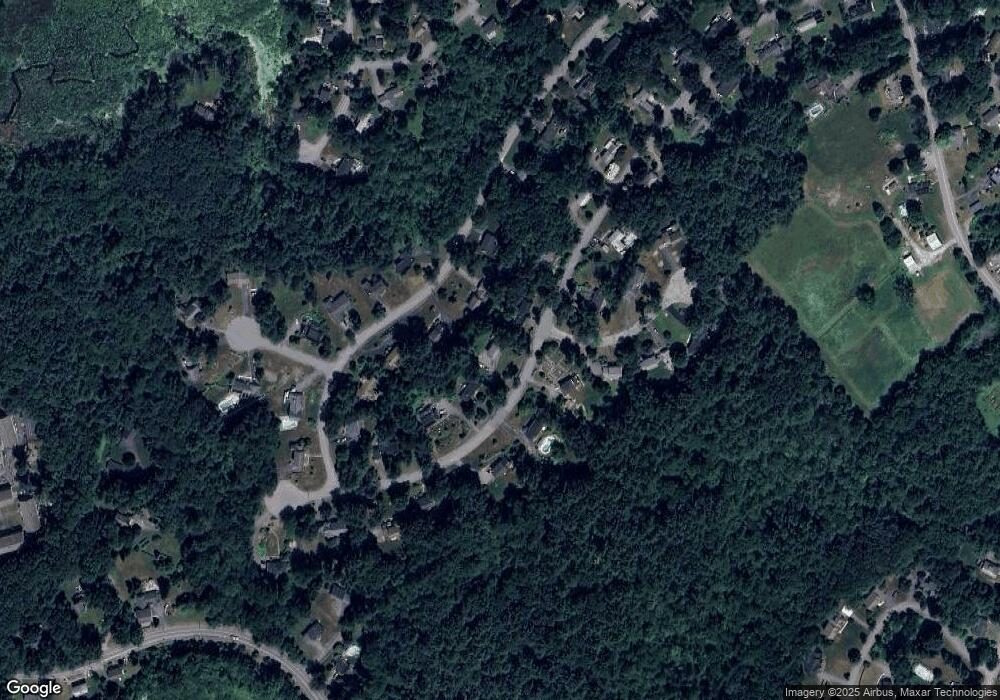
Map
Nearby Homes
- 184 Main St Unit 3
- 246 Main St Unit 2
- 7 Kelley Rd
- 25 Nylander Way
- 131 Main St
- 129 Main St Unit 129
- 6 Beacon Ct
- 90 Willow St Unit 1
- 92 Willow St Unit 3
- 92 Willow St Unit 2
- 235 Arlington St
- 20 Joseph Reed Ln
- 40 High St
- 70 River St
- 79 Charter Rd
- 30 Brewster Ln
- 1 Vanderbelt Rd
- 18 Hayward Rd
- 5 Perkins Ln
- 7 Hillcrest Dr
Your Personal Tour Guide
Ask me questions while you tour the home.