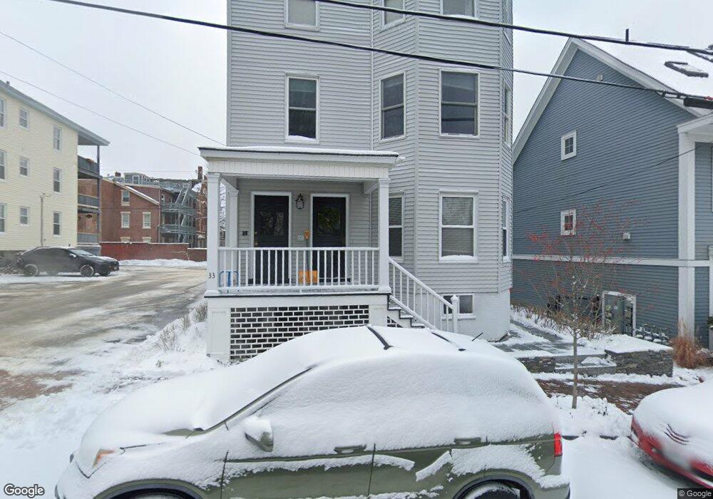
31 Tyng St Unit 3 Portland, ME 04102
West End NeighborhoodEstimated Value: $500,270 - $652,000
2
Beds
1
Bath
1,100
Sq Ft
$502/Sq Ft
Est. Value
About This Home
This home is located at 31 Tyng St Unit 3, Portland, ME 04102 and is currently estimated at $551,818, approximately $501 per square foot. 31 Tyng St Unit 3 is a home located in Cumberland County with nearby schools including Howard C. Reiche Community School, King Middle School, and Baxter Academy for Tech & Sciences.
Ownership History
Date
Name
Owned For
Owner Type
Purchase Details
Closed on
Jul 1, 2024
Sold by
Warren Emma B and Berry Pamela
Bought by
33 Tyng High Rd Advisory
Current Estimated Value
Purchase Details
Closed on
May 25, 2021
Sold by
Beaulieu Michelle
Bought by
Berry Emma and Berry Pamela
Home Financials for this Owner
Home Financials are based on the most recent Mortgage that was taken out on this home.
Original Mortgage
$250,000
Interest Rate
3%
Mortgage Type
Purchase Money Mortgage
Purchase Details
Closed on
Dec 19, 2016
Sold by
Briggs Stephani and Sawyer Dana
Bought by
Beaulieu Michelle
Home Financials for this Owner
Home Financials are based on the most recent Mortgage that was taken out on this home.
Original Mortgage
$317,700
Interest Rate
3.54%
Mortgage Type
New Conventional
Create a Home Valuation Report for This Property
The Home Valuation Report is an in-depth analysis detailing your home's value as well as a comparison with similar homes in the area
Home Values in the Area
Average Home Value in this Area
Purchase History
| Date | Buyer | Sale Price | Title Company |
|---|---|---|---|
| 33 Tyng High Rd Advisory | $550,000 | None Available | |
| 33 Tyng High Rd Advisory | $550,000 | None Available | |
| Berry Emma | -- | None Available | |
| Berry Emma | -- | None Available | |
| Beaulieu Michelle | -- | -- | |
| Beaulieu Michelle | -- | -- |
Source: Public Records
Mortgage History
| Date | Status | Borrower | Loan Amount |
|---|---|---|---|
| Previous Owner | Berry Emma | $250,000 | |
| Previous Owner | Beaulieu Michelle | $317,700 |
Source: Public Records
Tax History Compared to Growth
Tax History
| Year | Tax Paid | Tax Assessment Tax Assessment Total Assessment is a certain percentage of the fair market value that is determined by local assessors to be the total taxable value of land and additions on the property. | Land | Improvement |
|---|---|---|---|---|
| 2024 | $3,485 | $232,200 | $46,440 | $185,760 |
| 2023 | $3,346 | $232,200 | $46,440 | $185,760 |
| 2022 | $3,160 | $232,200 | $46,440 | $185,760 |
| 2021 | $3,016 | $232,200 | $46,440 | $185,760 |
| 2020 | $6,163 | $264,400 | $52,900 | $211,500 |
| 2019 | $6,163 | $264,400 | $52,900 | $211,500 |
| 2018 | $5,724 | $264,400 | $52,900 | $211,500 |
| 2017 | $5,724 | $264,400 | $52,900 | $211,500 |
| 2016 | $5,581 | $264,400 | $52,900 | $211,500 |
| 2015 | $5,455 | $264,400 | $52,900 | $211,500 |
| 2014 | $5,288 | $264,400 | $52,900 | $211,500 |
Source: Public Records
Map
Nearby Homes
- 32 State St Unit 1
- 64 Gray St
- 83 Brackett St
- 28 Summer St
- 88 Park St Unit 41
- 25 High St Unit 214
- 25 High St Unit 408
- 387 Commercial St Unit 710
- 387 Commercial St Unit 205
- 383 Commercial St
- 383 Commercial St Unit 405
- 383 Commercial St Unit 709
- 383 Commercial St Unit 315
- 12 May St
- 148 State St
- 68 Pleasant St
- 278 Spring St
- 40 Pleasant St
- 126 Winter St Unit 1
- 64 Pine St Unit 303