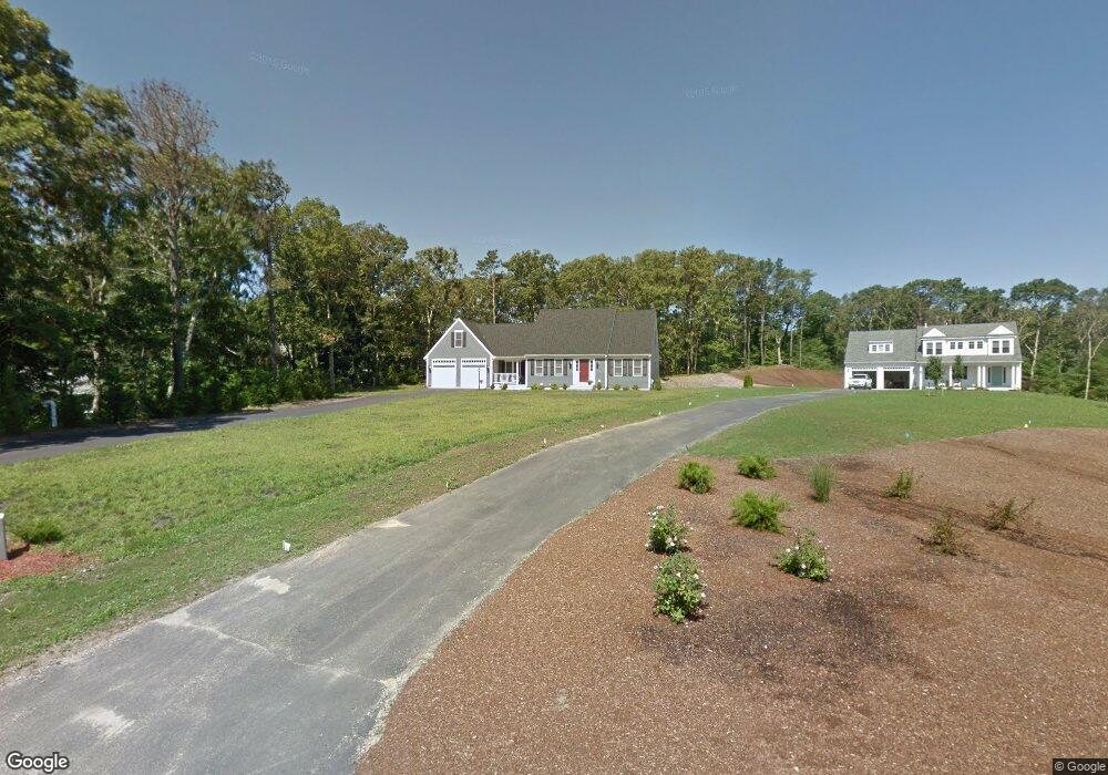
31 Walden Way Yarmouth Port, MA 2675
Yarmouth Port NeighborhoodEstimated Value: $866,000 - $1,115,000
3
Beds
3
Baths
1,778
Sq Ft
$556/Sq Ft
Est. Value
About This Home
This home is located at 31 Walden Way, Yarmouth Port, MA 2675 and is currently estimated at $989,167, approximately $556 per square foot. 31 Walden Way is a home located in Barnstable County with nearby schools including Dennis-Yarmouth Regional High School.
Ownership History
Date
Name
Owned For
Owner Type
Purchase Details
Closed on
Jul 2, 2013
Sold by
Walden Way Llc
Bought by
Mcmahon John J and Mcmahon Rosemary A
Current Estimated Value
Home Financials for this Owner
Home Financials are based on the most recent Mortgage that was taken out on this home.
Original Mortgage
$388,000
Outstanding Balance
$277,180
Interest Rate
3.51%
Mortgage Type
New Conventional
Estimated Equity
$711,987
Create a Home Valuation Report for This Property
The Home Valuation Report is an in-depth analysis detailing your home's value as well as a comparison with similar homes in the area
Home Values in the Area
Average Home Value in this Area
Purchase History
| Date | Buyer | Sale Price | Title Company |
|---|---|---|---|
| Mcmahon John J | $485,000 | -- | |
| Mcmahon John J | $485,000 | -- |
Source: Public Records
Mortgage History
| Date | Status | Borrower | Loan Amount |
|---|---|---|---|
| Open | Mcmahon John J | $388,000 | |
| Closed | Mcmahon John J | $388,000 |
Source: Public Records
Tax History Compared to Growth
Tax History
| Year | Tax Paid | Tax Assessment Tax Assessment Total Assessment is a certain percentage of the fair market value that is determined by local assessors to be the total taxable value of land and additions on the property. | Land | Improvement |
|---|---|---|---|---|
| 2025 | $6,622 | $935,300 | $261,600 | $673,700 |
| 2024 | $6,233 | $844,600 | $227,400 | $617,200 |
| 2023 | $6,338 | $781,500 | $191,900 | $589,600 |
| 2022 | $5,740 | $625,300 | $171,600 | $453,700 |
| 2021 | $5,610 | $586,800 | $171,600 | $415,200 |
| 2020 | $5,335 | $533,500 | $168,700 | $364,800 |
| 2019 | $4,940 | $489,100 | $168,700 | $320,400 |
| 2018 | $4,931 | $479,200 | $158,800 | $320,400 |
| 2017 | $4,802 | $479,200 | $158,800 | $320,400 |
| 2016 | $4,782 | $479,200 | $158,800 | $320,400 |
| 2015 | $4,642 | $462,400 | $158,800 | $303,600 |
Source: Public Records
Map
Nearby Homes
- 64 Kates Path
- 34 Kates Path
- 34 Kates Path Unit 34
- 44 Stratford Ln
- 228 Kates Path
- 17 Kates Path Unit A
- 42 John Hall Cartway Unit 42
- 50 John Hall Cartway
- 50 John Hall Cartway Unit 50
- 43 Canterbury Rd
- 51 Bray Farm Rd N
- 6 Nimble Hill Dr
- 59 Main St Unit 19-2
- 59 Route 6a Unit 29-4
- 7 Forest Gate Unit 7
- 25 Oak Glen Village Unit 25
- 25 Oak Glen
- 86 Pompano Rd
- 30 W Woods
- 30 W Woods Cir Unit 30
- 31 Walden Way
- 37 Walden Way
- 37 Walden Way
- 34 Collingwood Dr
- 28 Collingwood Dr
- 52 Collingwood Dr
- 22 Collingwood Dr
- 41 Walden Way
- 62 Collingwood Dr
- 42 Walden Way
- 36 Walden Way
- 2 Cromwell Dr
- 42 Walden Place
- 1 Cromwell Dr
- 43 Collingwood Dr
- 53 Collingwood Dr
- 16 Collingwood Dr
- 6 Avon Rd
- 72 Collingwood Dr
- 9 Liverpool Dr