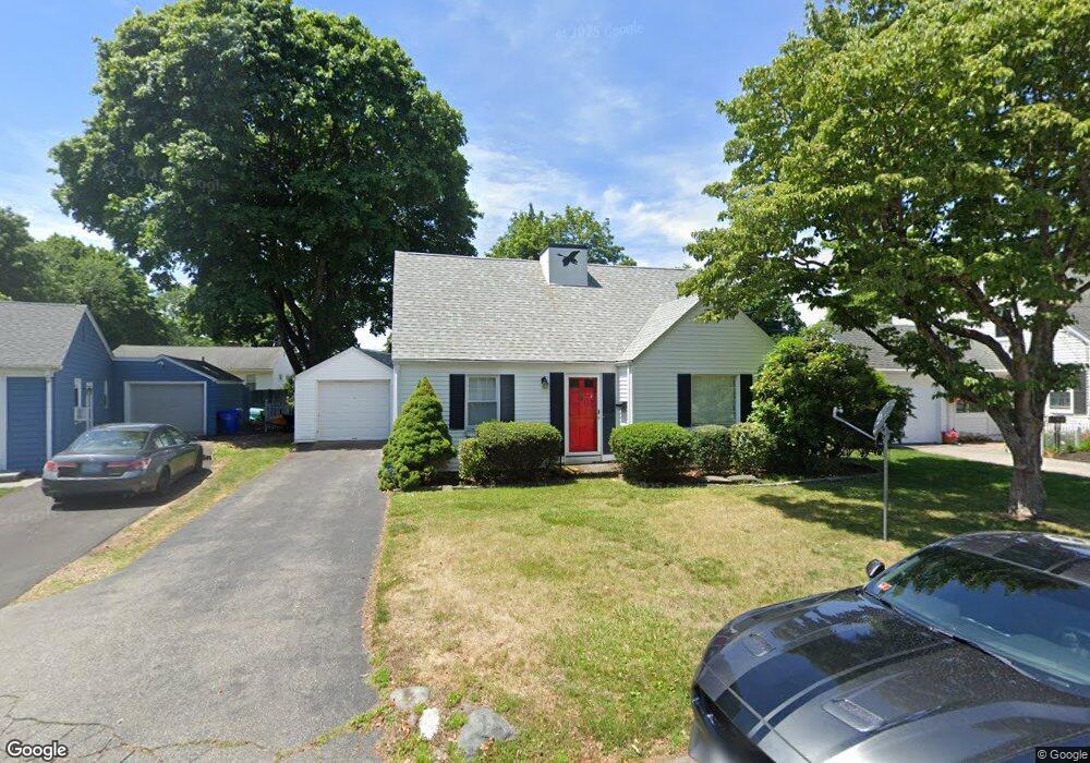
31 Woburn Rd Rumford, RI 02916
Phillipsdale NeighborhoodEstimated Value: $504,279 - $702,000
3
Beds
2
Baths
2,456
Sq Ft
$239/Sq Ft
Est. Value
About This Home
This home is located at 31 Woburn Rd, Rumford, RI 02916 and is currently estimated at $587,570, approximately $239 per square foot. 31 Woburn Rd is a home located in Providence County with nearby schools including East Providence High School, St Margaret School, and Ocean State Montessori School.
Ownership History
Date
Name
Owned For
Owner Type
Purchase Details
Closed on
Nov 16, 2009
Sold by
Mclaughlin Mary C
Bought by
Modha Poonam Kirit
Current Estimated Value
Home Financials for this Owner
Home Financials are based on the most recent Mortgage that was taken out on this home.
Original Mortgage
$233,516
Interest Rate
4.98%
Mortgage Type
Purchase Money Mortgage
Create a Home Valuation Report for This Property
The Home Valuation Report is an in-depth analysis detailing your home's value as well as a comparison with similar homes in the area
Home Values in the Area
Average Home Value in this Area
Purchase History
| Date | Buyer | Sale Price | Title Company |
|---|---|---|---|
| Modha Poonam Kirit | $255,000 | -- | |
| Modha Poonam Kirit | $255,000 | -- |
Source: Public Records
Mortgage History
| Date | Status | Borrower | Loan Amount |
|---|---|---|---|
| Open | Modha Poonam Kirit | $234,459 | |
| Closed | Modha Poonam Kirit | $233,516 |
Source: Public Records
Tax History Compared to Growth
Tax History
| Year | Tax Paid | Tax Assessment Tax Assessment Total Assessment is a certain percentage of the fair market value that is determined by local assessors to be the total taxable value of land and additions on the property. | Land | Improvement |
|---|---|---|---|---|
| 2024 | $6,075 | $396,300 | $139,000 | $257,300 |
| 2023 | $5,849 | $396,300 | $139,000 | $257,300 |
| 2022 | $6,003 | $274,600 | $99,200 | $175,400 |
| 2021 | $5,904 | $274,600 | $99,100 | $175,500 |
| 2020 | $5,654 | $274,600 | $99,100 | $175,500 |
| 2019 | $5,497 | $274,600 | $99,100 | $175,500 |
| 2018 | $5,189 | $226,800 | $77,900 | $148,900 |
| 2017 | $5,074 | $226,800 | $77,900 | $148,900 |
| 2016 | $5,049 | $226,800 | $77,900 | $148,900 |
| 2015 | $4,608 | $200,800 | $54,000 | $146,800 |
| 2014 | $4,608 | $200,800 | $54,000 | $146,800 |
Source: Public Records
Map
Nearby Homes
- 10 Linden Ave
- 16 Elm Ave
- 0 Newman Ave Rear
- 125 Roger Williams Ave
- 71 Priscilla Ave
- 136 Hoyt Ave
- 62 Byron Ave
- 27 Gertrude Ave
- 141 E Point Dr Unit 206
- 141 E Point Dr Unit 108
- 141 E Point Dr Unit 401
- 141 E Point Dr Unit 212
- 141 E Point Dr Unit 105
- 141 E Point Dr Unit 110
- 141 E Point Dr Unit 306
- 141 E Point Dr Unit 406
- 141 E Point Dr Unit 404
- 141 E Point Dr Unit 101
- 141 E Point Dr Unit 311
- 141 E Point Dr Unit 112