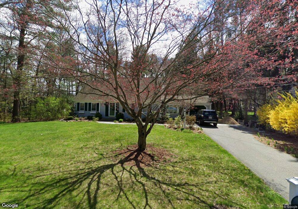
31 Woodland Rd Sudbury, MA 01776
Estimated Value: $871,097 - $1,056,000
4
Beds
2
Baths
2,067
Sq Ft
$474/Sq Ft
Est. Value
About This Home
This home is located at 31 Woodland Rd, Sudbury, MA 01776 and is currently estimated at $980,774, approximately $474 per square foot. 31 Woodland Rd is a home located in Middlesex County with nearby schools including Israel Loring Elementary School, Ephraim Curtis Middle School, and Lincoln-Sudbury Regional High School.
Ownership History
Date
Name
Owned For
Owner Type
Purchase Details
Closed on
Oct 28, 2016
Sold by
Haberman Arthur N and Haberman Deborah L
Bought by
Holland Robert B and Huber Andrea P
Current Estimated Value
Home Financials for this Owner
Home Financials are based on the most recent Mortgage that was taken out on this home.
Original Mortgage
$472,000
Outstanding Balance
$379,887
Interest Rate
3.5%
Mortgage Type
New Conventional
Estimated Equity
$600,887
Purchase Details
Closed on
Jul 31, 1998
Sold by
Murphy Thomas P and Murphy Neva B
Bought by
Haberman Deborah L and Haberman Arthur N
Home Financials for this Owner
Home Financials are based on the most recent Mortgage that was taken out on this home.
Original Mortgage
$268,000
Interest Rate
6.92%
Mortgage Type
Purchase Money Mortgage
Create a Home Valuation Report for This Property
The Home Valuation Report is an in-depth analysis detailing your home's value as well as a comparison with similar homes in the area
Home Values in the Area
Average Home Value in this Area
Purchase History
| Date | Buyer | Sale Price | Title Company |
|---|---|---|---|
| Holland Robert B | $590,000 | -- | |
| Haberman Deborah L | $355,000 | -- |
Source: Public Records
Mortgage History
| Date | Status | Borrower | Loan Amount |
|---|---|---|---|
| Open | Holland Robert B | $472,000 | |
| Previous Owner | Haberman Deborah L | $268,000 | |
| Previous Owner | Haberman Deborah L | $19,620 | |
| Previous Owner | Haberman Deborah L | $20,000 |
Source: Public Records
Tax History Compared to Growth
Tax History
| Year | Tax Paid | Tax Assessment Tax Assessment Total Assessment is a certain percentage of the fair market value that is determined by local assessors to be the total taxable value of land and additions on the property. | Land | Improvement |
|---|---|---|---|---|
| 2025 | $11,043 | $754,300 | $417,900 | $336,400 |
| 2024 | $10,658 | $729,500 | $405,700 | $323,800 |
| 2023 | $10,891 | $690,600 | $375,700 | $314,900 |
| 2022 | $10,574 | $585,800 | $344,800 | $241,000 |
| 2021 | $10,266 | $545,200 | $344,800 | $200,400 |
| 2020 | $10,059 | $545,200 | $344,800 | $200,400 |
| 2019 | $9,698 | $541,500 | $344,800 | $196,700 |
| 2018 | $9,887 | $551,400 | $367,600 | $183,800 |
| 2017 | $9,267 | $522,400 | $349,700 | $172,700 |
| 2016 | $8,930 | $501,700 | $336,400 | $165,300 |
| 2015 | $8,571 | $487,000 | $323,500 | $163,500 |
| 2014 | $8,541 | $473,700 | $313,900 | $159,800 |
Source: Public Records
Map
Nearby Homes
- 24 Woodland Rd
- 7 Adams Rd
- 1011 Boston Post Rd
- 0 Robbins Rd
- 30 Nobscot Rd Unit 14
- 54 Stone Rd
- 12 Hickory Rd
- 89 Bridle Path
- 32 Eaton Rd W
- 30 Rolling Ln
- 0 Boston Post Rd
- 91 Eaton Rd W
- 36 Concord Rd
- 19 Nob Hill Dr
- 23 Massasoit Ave
- 143 Peakham Rd
- 14 Eisenhower Rd
- 270 Old Lancaster Rd
- 7 Saddle Ridge Rd
- 84 Hopestill Brown Rd
- 27 Woodland Rd
- 21 Woodland Rd
- 175 Nobscot Rd
- 173 Nobscot Rd
- 237 Nobscot Rd
- 235 Nobscot Rd
- 233 Nobscot Rd
- 28 Woodland Rd
- 181 Nobscot Rd
- 179 Nobscot Rd
- 177 Nobscot Rd
- 66 Dudley Rd
- 15 Woodland Rd
- 169 Nobscot Rd
- 167 Nobscot Rd
- 165 Nobscot Rd
- 167 Nobscot Rd Unit 167
- 231 Nobscot Rd
- 229 Nobscot Rd
- 227 Nobscot Rd