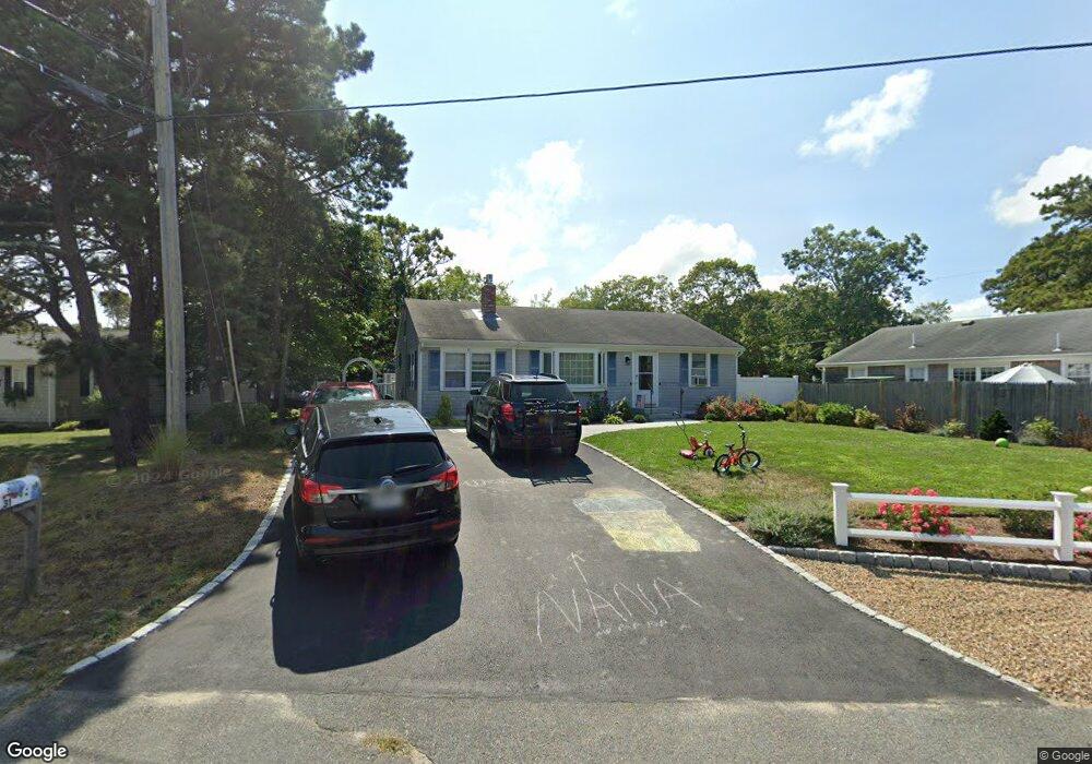
31 Yale Cir Dennis Port, MA 02639
Dennis Port NeighborhoodEstimated Value: $578,000 - $763,000
3
Beds
3
Baths
1,103
Sq Ft
$620/Sq Ft
Est. Value
About This Home
This home is located at 31 Yale Cir, Dennis Port, MA 02639 and is currently estimated at $683,587, approximately $619 per square foot. 31 Yale Cir is a home located in Barnstable County with nearby schools including Dennis-Yarmouth Regional High School and St. Pius X. School.
Ownership History
Date
Name
Owned For
Owner Type
Purchase Details
Closed on
Oct 29, 2007
Sold by
Mccormack Neal R
Bought by
Degroat Jean T and Degroat Michael P
Current Estimated Value
Purchase Details
Closed on
Oct 9, 2001
Sold by
Morrissey Joan M
Bought by
Mccormick Neal R
Purchase Details
Closed on
Mar 2, 1999
Sold by
Cusick Irene H
Bought by
Morrissey Joan M
Create a Home Valuation Report for This Property
The Home Valuation Report is an in-depth analysis detailing your home's value as well as a comparison with similar homes in the area
Home Values in the Area
Average Home Value in this Area
Purchase History
| Date | Buyer | Sale Price | Title Company |
|---|---|---|---|
| Degroat Jean T | $346,500 | -- | |
| Mccormick Neal R | $144,000 | -- | |
| Morrissey Joan M | $90,000 | -- |
Source: Public Records
Mortgage History
| Date | Status | Borrower | Loan Amount |
|---|---|---|---|
| Open | Morrissey Joan M | $231,200 | |
| Closed | Morrissey Joan M | $249,000 | |
| Closed | Morrissey Joan M | $255,200 |
Source: Public Records
Tax History Compared to Growth
Tax History
| Year | Tax Paid | Tax Assessment Tax Assessment Total Assessment is a certain percentage of the fair market value that is determined by local assessors to be the total taxable value of land and additions on the property. | Land | Improvement |
|---|---|---|---|---|
| 2025 | $2,604 | $601,400 | $202,200 | $399,200 |
| 2024 | $2,511 | $572,000 | $194,500 | $377,500 |
| 2023 | $2,445 | $523,600 | $176,800 | $346,800 |
| 2022 | $2,267 | $404,800 | $159,300 | $245,500 |
| 2021 | $2,306 | $382,400 | $178,400 | $204,000 |
| 2020 | $2,081 | $341,200 | $156,100 | $185,100 |
| 2019 | $1,960 | $317,700 | $153,100 | $164,600 |
| 2018 | $1,884 | $297,200 | $145,700 | $151,500 |
| 2017 | $1,734 | $282,000 | $135,300 | $146,700 |
| 2016 | $1,770 | $271,000 | $145,700 | $125,300 |
| 2015 | $1,734 | $271,000 | $145,700 | $125,300 |
| 2014 | $1,589 | $250,200 | $124,900 | $125,300 |
Source: Public Records
Map
Nearby Homes
- 80 Michaels Ave
- 19 Standish Way
- 71 Main St
- 4 Coffey Ln
- 12 Spoonbill Rd
- 31 Easy St
- 22 Wixon Rd
- 125 Main St Unit 3
- 15 Woodside Park Rd
- 72 Bassett Ln
- 268 Main St
- 37 Ocean Dr Unit 2
- 61 Trotters Ln
- 64 Beaten Rd
- 95 Center St
- 26 Center St
- 112 Old Wharf Rd Unit E4
- 112 Old Wharf Rd Unit E1
- 154 Old Wharf Rd Unit 26
- 154 Old Wharf Rd Unit 14