C
Seller's Agent in 2019
Connie Puckett
DYAR REAL ESTATE
(317) 760-2109
21 in this area
42 Total Sales
Estimated Value: $44,000 - $146,726
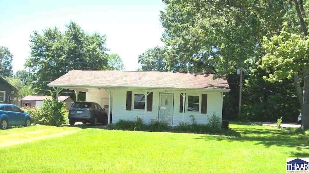
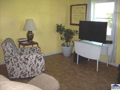
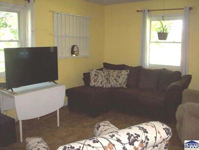
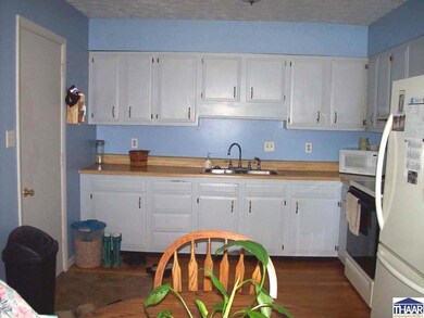
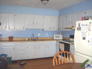
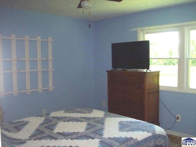
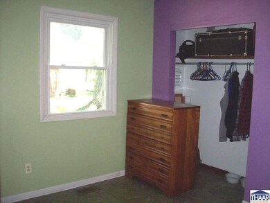
It’s A Jewel 3BR, 2BA with many upgrades including vinyl siding, thermopane windows, roof & HVAC system. Att carport with unique brick patio with a lovely combination of perennial bushes & flowers. This one won’t last. Better make that appt NOW! Dryer is Defective
Last Agent to Sell the Property
DYAR REAL ESTATE License #RB14011978 Listed on: 06/27/2019
| Date | Buyer | Sale Price | Title Company |
|---|---|---|---|
| Lannan Michael Jarrett | $37,007 | None Listed On Document | |
| Federal Home Loan Mtg Corp | $34,000 | None Listed On Document | |
| Nielsen Roy S | $79,000 | None Available |
| Date | Status | Borrower | Loan Amount |
|---|---|---|---|
| Previous Owner | Nielsen Roy S | $62,000 |
| Date | Event | Price | List to Sale | Price per Sq Ft |
|---|---|---|---|---|
| 08/03/2019 08/03/19 | Sold | $69,900 | 0.0% | $61 / Sq Ft |
| 08/03/2019 08/03/19 | Pending | -- | -- | -- |
| 06/27/2019 06/27/19 | For Sale | $69,900 | -- | $61 / Sq Ft |
| Year | Tax Paid | Tax Assessment Tax Assessment Total Assessment is a certain percentage of the fair market value that is determined by local assessors to be the total taxable value of land and additions on the property. | Land | Improvement |
|---|---|---|---|---|
| 2024 | $581 | $55,500 | $7,300 | $48,200 |
| 2023 | $1,383 | $55,000 | $7,300 | $47,700 |
| 2022 | $465 | $56,600 | $7,300 | $49,300 |
| 2021 | $456 | $52,500 | $7,300 | $45,200 |
| 2020 | $12 | $47,100 | $7,300 | $39,800 |
| 2019 | $12 | $43,700 | $7,300 | $36,400 |
| 2018 | $12 | $41,700 | $7,300 | $34,400 |
| 2017 | $12 | $41,200 | $7,300 | $33,900 |
| 2016 | $12 | $41,000 | $7,300 | $33,700 |
| 2014 | $12 | $40,400 | $7,300 | $33,100 |
| 2013 | -- | $40,100 | $7,300 | $32,800 |
C
Seller's Agent in 2019
Connie Puckett
DYAR REAL ESTATE
(317) 760-2109
21 in this area
42 Total Sales

Buyer's Agent in 2019
Allie Jackson
KEY ASSOCIATES
(812) 798-6465
60 in this area
125 Total Sales
Source: Terre Haute Area Association of REALTORS®
MLS Number: 89588
APN: 28-06-23-112-047.000-018