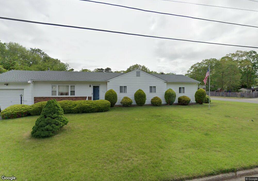
310 Annapolis Ln Forked River, NJ 08731
Estimated Value: $406,098 - $489,000
4
Beds
2
Baths
1,673
Sq Ft
$268/Sq Ft
Est. Value
About This Home
This home is located at 310 Annapolis Ln, Forked River, NJ 08731 and is currently estimated at $448,025, approximately $267 per square foot. 310 Annapolis Ln is a home located in Ocean County with nearby schools including Lacey Township High School.
Ownership History
Date
Name
Owned For
Owner Type
Purchase Details
Closed on
Jun 24, 2011
Sold by
Sheridan Arthur F and Sheridan Sharon A
Bought by
Sheridan Arthur F and Sheridan Sharon A
Current Estimated Value
Home Financials for this Owner
Home Financials are based on the most recent Mortgage that was taken out on this home.
Original Mortgage
$197,455
Outstanding Balance
$136,886
Interest Rate
4.75%
Mortgage Type
FHA
Estimated Equity
$311,139
Purchase Details
Closed on
Jul 22, 1997
Sold by
Gehring Thomas
Bought by
Sheridan Arthur and Sheridan Sharon
Home Financials for this Owner
Home Financials are based on the most recent Mortgage that was taken out on this home.
Original Mortgage
$55,000
Interest Rate
7.5%
Create a Home Valuation Report for This Property
The Home Valuation Report is an in-depth analysis detailing your home's value as well as a comparison with similar homes in the area
Home Values in the Area
Average Home Value in this Area
Purchase History
| Date | Buyer | Sale Price | Title Company |
|---|---|---|---|
| Sheridan Arthur F | -- | Eltg Llc Equitable Land Titl | |
| Sheridan Arthur | $110,000 | -- |
Source: Public Records
Mortgage History
| Date | Status | Borrower | Loan Amount |
|---|---|---|---|
| Open | Sheridan Arthur F | $197,455 | |
| Closed | Sheridan Arthur | $55,000 |
Source: Public Records
Tax History
| Year | Tax Paid | Tax Assessment Tax Assessment Total Assessment is a certain percentage of the fair market value that is determined by local assessors to be the total taxable value of land and additions on the property. | Land | Improvement |
|---|---|---|---|---|
| 2025 | $5,316 | $209,800 | $83,000 | $126,800 |
| 2024 | $4,720 | $209,800 | $83,000 | $126,800 |
Source: Public Records
Map
Nearby Homes
- 330 Riviera Dr
- 201 Nautilus Blvd
- 308 Pine Forest Ln
- 502 Teakwood Dr
- 207 Sunset Dr
- 510 Conifer Dr
- 23 Penn Place
- 406 Cyprus Ct
- 502 Cyprus Ct
- 703 Cyprus Ct
- 3 Easy St
- 709 Richmond Dr
- 118 Hemlock Dr
- 109 Laurel Blvd
- 915 Shenandoah Dr
- 105 Shodda St
- 301 Chestnut Dr
- 00 Lacey Rd
- 202 Lawrence Dr
- 0 Windward Dr Unit NJOC2039288
- 303 Bounty Rd
- 309 Annapolis Ln
- 319 Independence Dr
- 307 Annapolis Ln
- 312 Annapolis Ln
- 305 Annapolis Ln
- 311 Annapolis Ln
- 321 Independence Dr
- 314 Annapolis Ln
- 303 Annapolis Ln
- 313 Annapolis Ln
- 324 Independence Dr
- 327 Independence Dr
- 316 Annapolis Ln
- 315 Annapolis Ln
- 329 Independence Dr
- 310 Shady Brook Ln
- 312 Shady Brook Ln
- 307 Independence Dr
- 314 Shady Brook Ln
Your Personal Tour Guide
Ask me questions while you tour the home.