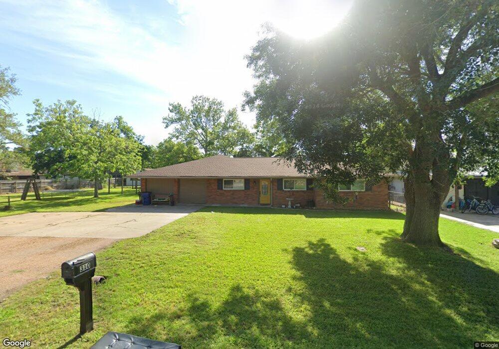
310 Avenue B Brazoria, TX 77422
Estimated Value: $224,130 - $270,000
--
Bed
2
Baths
2,060
Sq Ft
$122/Sq Ft
Est. Value
About This Home
This home is located at 310 Avenue B, Brazoria, TX 77422 and is currently estimated at $252,033, approximately $122 per square foot. 310 Avenue B is a home located in Brazoria County.
Ownership History
Date
Name
Owned For
Owner Type
Purchase Details
Closed on
Dec 12, 1995
Sold by
Henderson Brenda G
Bought by
Henderson Michael T
Current Estimated Value
Home Financials for this Owner
Home Financials are based on the most recent Mortgage that was taken out on this home.
Original Mortgage
$64,000
Outstanding Balance
$1,314
Interest Rate
7.41%
Mortgage Type
Seller Take Back
Estimated Equity
$250,719
Create a Home Valuation Report for This Property
The Home Valuation Report is an in-depth analysis detailing your home's value as well as a comparison with similar homes in the area
Home Values in the Area
Average Home Value in this Area
Purchase History
| Date | Buyer | Sale Price | Title Company |
|---|---|---|---|
| Henderson Michael T | -- | -- |
Source: Public Records
Mortgage History
| Date | Status | Borrower | Loan Amount |
|---|---|---|---|
| Open | Henderson Michael T | $64,000 |
Source: Public Records
Tax History Compared to Growth
Tax History
| Year | Tax Paid | Tax Assessment Tax Assessment Total Assessment is a certain percentage of the fair market value that is determined by local assessors to be the total taxable value of land and additions on the property. | Land | Improvement |
|---|---|---|---|---|
| 2025 | $2,980 | $233,846 | $29,840 | $208,210 |
| 2023 | $2,980 | $193,261 | $27,170 | $236,120 |
| 2022 | $3,969 | $175,692 | $23,980 | $174,130 |
| 2021 | $3,764 | $187,660 | $20,780 | $166,880 |
| 2020 | $3,592 | $181,920 | $19,180 | $162,740 |
| 2019 | $3,370 | $173,610 | $15,190 | $158,420 |
| 2018 | $3,080 | $120,000 | $20,040 | $99,960 |
| 2017 | $3,185 | $120,000 | $15,190 | $104,810 |
| 2016 | $4,365 | $164,440 | $15,190 | $149,250 |
| 2015 | $2,749 | $125,760 | $15,190 | $110,570 |
| 2014 | $2,749 | $102,410 | $15,190 | $87,220 |
Source: Public Records
Map
Nearby Homes
- 229 Yaupon Dr
- 0 Pecan Dr
- 523 Lazy Ln
- 232 Magnolia St
- 307 Avenue G
- 1208 S Brooks St
- 409 Carlton St
- 34654 Fm 521 Rd
- 8922 Fm 521 Rd
- 230 E New York St
- 706 E New York St
- 549 E New York St
- 4773 County Road 652
- 310 E Texas St
- 0 Cr-747a
- TBD Cr-318
- 320 Cr-320
- 0 Cr-318 Unit 18304666
- TBD Cr-318 Tract 7c
- 1625 Cr 244 E