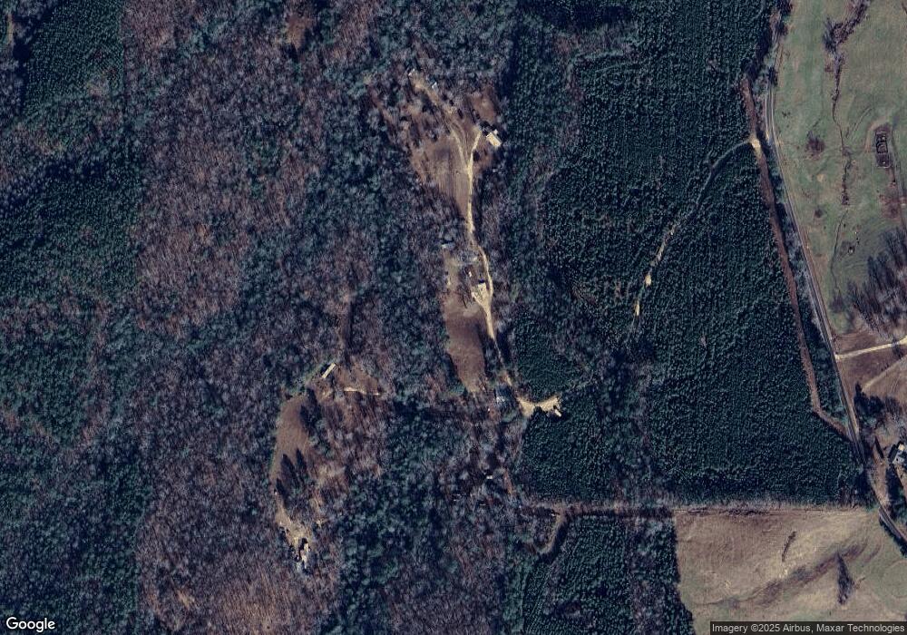
310 Burcham Rd Phil Campbell, AL 35581
Estimated Value: $65,365 - $165,000
--
Bed
--
Bath
1,520
Sq Ft
$87/Sq Ft
Est. Value
About This Home
This home is located at 310 Burcham Rd, Phil Campbell, AL 35581 and is currently estimated at $132,091, approximately $86 per square foot. 310 Burcham Rd is a home located in Franklin County.
Ownership History
Date
Name
Owned For
Owner Type
Purchase Details
Closed on
Sep 7, 2010
Sold by
Burcham David Mckelvey and Burcham Angela Faye
Bought by
Burcham David Mckelvey and Burcham Angela Faye
Current Estimated Value
Create a Home Valuation Report for This Property
The Home Valuation Report is an in-depth analysis detailing your home's value as well as a comparison with similar homes in the area
Home Values in the Area
Average Home Value in this Area
Purchase History
| Date | Buyer | Sale Price | Title Company |
|---|---|---|---|
| Burcham David Mckelvey | -- | -- |
Source: Public Records
Tax History Compared to Growth
Tax History
| Year | Tax Paid | Tax Assessment Tax Assessment Total Assessment is a certain percentage of the fair market value that is determined by local assessors to be the total taxable value of land and additions on the property. | Land | Improvement |
|---|---|---|---|---|
| 2024 | $1 | $5,440 | $680 | $4,760 |
| 2023 | $1 | $5,100 | $640 | $4,460 |
| 2022 | $1 | $4,700 | $600 | $4,100 |
| 2021 | $1 | $4,400 | $700 | $3,700 |
| 2020 | $1 | $4,400 | $700 | $3,700 |
| 2019 | $1 | $4,350 | $680 | $3,670 |
| 2018 | $1 | $3,800 | $700 | $3,100 |
| 2017 | $1 | $3,400 | $700 | $2,700 |
| 2016 | $1 | $3,400 | $700 | $2,700 |
| 2015 | $1 | $3,400 | $700 | $2,700 |
| 2014 | $1 | $3,400 | $700 | $2,700 |
| 2013 | $1 | $3,300 | $600 | $2,700 |
Source: Public Records
Map
Nearby Homes
- 1172 Co Rd 59
- 362 Sandusky Rd Unit lot 4
- 3203 Edgar Chapel Rd
- 0 Fuller Rd
- 2777 Nix Rd
- 321 Highway 126
- 0 County Road 20
- 321 Hwy 126
- 00 Pike Ave
- 2065 Alabama 237
- 0 Highway 63
- 1406 Pike Ave
- 1440 Pike Ave
- 4025 County Road 172
- 2206 Highway 63
- 364 Mc Clung Ave
- 00 Kent St
- 0 Mayhall Dr
- 364 Steele St
- 0 Hyde Rd Unit LotWP001 23713578
- 1066 Hwy 59
- 5287 Gravel Hill Rd
- 5205 Gravel Hill Rd
- 5075 Gravel Hill Rd
- 578 Wade Rd
- 3843 Hwy 43
- 564 Wade Rd
- 5583 Gravel Hill Rd
- 3775 Hwy 43
- 3017 Highway 43
- 846 Ford Rd
- 105 Rainbow Rd
- 188 Kennerly Rd
- 588 Wade Rd
- 4860 Gravel Hill Rd
- 81 McDuffa Rd
- 892 Wade Rd
- 4495 Highway 43
- 499 Wade Rd
- 2961 Highway 43
