310 Chestnut St Geneva, OH 44041
Geneva NeighborhoodEstimated Value: $145,034 - $184,000
3
Beds
2
Baths
1,416
Sq Ft
$113/Sq Ft
Est. Value
About This Home
This home is located at 310 Chestnut St, Geneva, OH 44041 and is currently estimated at $160,259, approximately $113 per square foot. 310 Chestnut St is a home located in Ashtabula County with nearby schools including Geneva Middle School, Geneva High School, and Assumption School.
Ownership History
Date
Name
Owned For
Owner Type
Purchase Details
Closed on
Aug 14, 2008
Sold by
Phinney Dawn
Bought by
Grof Joseph P and Grof Linda A
Current Estimated Value
Home Financials for this Owner
Home Financials are based on the most recent Mortgage that was taken out on this home.
Original Mortgage
$109,982
Outstanding Balance
$72,396
Interest Rate
6.39%
Mortgage Type
FHA
Estimated Equity
$87,863
Purchase Details
Closed on
Dec 30, 2004
Sold by
Robard Homes Inc
Bought by
Phinney Dawn and Richard L Phinney Family Trust
Purchase Details
Closed on
Mar 4, 1998
Sold by
Brown Gregory J
Bought by
Douglass William H
Create a Home Valuation Report for This Property
The Home Valuation Report is an in-depth analysis detailing your home's value as well as a comparison with similar homes in the area
Home Values in the Area
Average Home Value in this Area
Purchase History
| Date | Buyer | Sale Price | Title Company |
|---|---|---|---|
| Grof Joseph P | $111,500 | Franklin Blair Title Agency | |
| Phinney Dawn | -- | -- | |
| Douglass William H | $12,500 | -- |
Source: Public Records
Mortgage History
| Date | Status | Borrower | Loan Amount |
|---|---|---|---|
| Open | Grof Joseph P | $109,982 |
Source: Public Records
Tax History Compared to Growth
Tax History
| Year | Tax Paid | Tax Assessment Tax Assessment Total Assessment is a certain percentage of the fair market value that is determined by local assessors to be the total taxable value of land and additions on the property. | Land | Improvement |
|---|---|---|---|---|
| 2024 | $3,300 | $39,130 | $8,050 | $31,080 |
| 2023 | $1,932 | $39,130 | $8,050 | $31,080 |
| 2022 | $1,557 | $31,050 | $6,200 | $24,850 |
| 2021 | $1,629 | $31,050 | $6,200 | $24,850 |
| 2020 | $1,630 | $31,050 | $6,200 | $24,850 |
| 2019 | $1,392 | $25,520 | $6,090 | $19,430 |
| 2018 | $1,227 | $25,520 | $6,090 | $19,430 |
| 2017 | $1,221 | $25,520 | $6,090 | $19,430 |
| 2016 | $1,239 | $24,990 | $5,950 | $19,040 |
| 2015 | $1,232 | $24,990 | $5,950 | $19,040 |
| 2014 | $1,211 | $24,990 | $5,950 | $19,040 |
| 2013 | $1,376 | $29,860 | $5,080 | $24,780 |
Source: Public Records
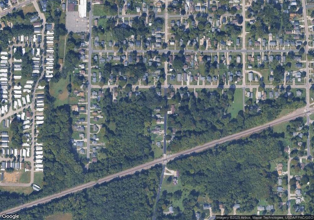
Map
Nearby Homes
- 165 S Eagle St
- 515 S Broadway
- 754 Chestnut St
- 613 Sherman St
- 234 Elm St
- 276 Beach St
- 0 S Ridge Rd E Unit 5176296
- 45 S Cedar St
- 465 Eastwood St
- 484 E Main St
- 549 E Main St
- 1166 Sherman St
- 815 S Nearing Cir
- 70 Crown Point
- VL N Crowell Ave
- 3410 N Broadway
- 2302 Walter Main Rd
- 1973 Lafevre Rd
- 3581 Austin Rd Unit 51
- 6535 N Ridge Rd W
- 320 Chestnut St
- 280 Chestnut St
- 328 Chestnut St
- 2792 Chestnut St
- 305 Chestnut St
- 450 W Liberty St
- 281 Chestnut St
- 252 Chestnut St
- 327 Chestnut St
- 352 W Liberty St
- 456 W Liberty St
- 417 W Liberty St
- 344 W Liberty St
- 251 Chestnut St
- 238 Chestnut St
- 431 W Liberty St
- 337 Chestnut St
- 349 W Liberty St
- 364 Chestnut St
- 342 W Liberty St