310 Colonial Ridge Pittsboro, NC 27312
Estimated Value: $173,603 - $198,000
3
Beds
3
Baths
2,722
Sq Ft
$68/Sq Ft
Est. Value
About This Home
This home is located at 310 Colonial Ridge, Pittsboro, NC 27312 and is currently estimated at $185,802, approximately $68 per square foot. 310 Colonial Ridge is a home located in Chatham County with nearby schools including Pittsboro Elementary School, George Moses Horton Middle School, and Northwood High.
Ownership History
Date
Name
Owned For
Owner Type
Purchase Details
Closed on
Oct 6, 2023
Sold by
Beatty Denise Warren and Beatty Jeffrey Allan
Bought by
Bradford James Walter and Haven Bradford Lynn
Current Estimated Value
Purchase Details
Closed on
Nov 10, 2020
Sold by
Tompkins Robert and Tompkins Marjorie
Bought by
Beatty Jeffrey A and Beatty Denise W
Purchase Details
Closed on
Oct 20, 2017
Sold by
Melson Lawrence E and Melson Lynn H
Bought by
Tompkins Robert and Tompkins Marjorie
Purchase Details
Closed on
Nov 16, 2016
Sold by
Black Kenneth M and Black Debra L
Bought by
Melson Lawrence E and Melson Lynn H
Create a Home Valuation Report for This Property
The Home Valuation Report is an in-depth analysis detailing your home's value as well as a comparison with similar homes in the area
Home Values in the Area
Average Home Value in this Area
Purchase History
| Date | Buyer | Sale Price | Title Company |
|---|---|---|---|
| Bradford James Walter | $166,000 | None Listed On Document | |
| Beatty Jeffrey A | $95,000 | None Available | |
| Tompkins Robert | $56,500 | None Available | |
| Melson Lawrence E | $47,500 | Attorney |
Source: Public Records
Tax History Compared to Growth
Tax History
| Year | Tax Paid | Tax Assessment Tax Assessment Total Assessment is a certain percentage of the fair market value that is determined by local assessors to be the total taxable value of land and additions on the property. | Land | Improvement |
|---|---|---|---|---|
| 2025 | $5,925 | $812,351 | $119,400 | $692,951 |
| 2024 | $5,925 | $76,117 | $76,117 | $0 |
| 2023 | $660 | $76,117 | $76,117 | $0 |
| 2022 | $602 | $76,117 | $76,117 | $0 |
| 2021 | $602 | $76,117 | $76,117 | $0 |
| 2020 | $542 | $72,171 | $72,171 | $0 |
| 2019 | $572 | $72,171 | $72,171 | $0 |
| 2018 | $0 | $72,171 | $72,171 | $0 |
| 2017 | $542 | $72,171 | $72,171 | $0 |
| 2016 | $910 | $120,285 | $120,285 | $0 |
| 2015 | -- | $120,285 | $120,285 | $0 |
| 2014 | -- | $120,285 | $120,285 | $0 |
| 2013 | -- | $120,285 | $120,285 | $0 |
Source: Public Records
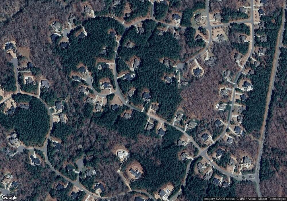
Map
Nearby Homes
- 120 Fox Trail Ct
- 181 Colonial Ridge Dr
- 67 Crimson Way
- 297 Colonial Ridge Dr
- 354 Crimson Way
- 183 Lookout Ridge
- 374 Crimson Way
- 62 Teal Trace Ct
- 15 Brandon Pines Ct
- 44 Sweet Meadow Ln
- 48 Sweet Meadow Ln
- 7 Brandon Pines Ct
- 64 Barn Owl Ln
- 59 Mist Wood Ct
- 112 Golfers View
- 67 Ridgeline Ct Unit 7
- 56 Mist Wood Ct
- 103 Brandy Mill
- 213 Brook Green Ln Unit 11
- 149 Brandy Mill
- 271 Colonial Ridge Trail
- 271 Colonial Ridge Trail Unit 760
- 384 Colonial Ridge Dr Unit 840
- 384 Colonial Ridge Dr
- 271 Colonial Ridge Dr
- 271 Colonial Ridge Dr Unit 760
- 321 Colonial Ridge Dr
- 321 Colonial Ridge Dr Unit 762
- 349 Colonial Ridge Dr Unit 763
- 349 Colonial Ridge Dr
- 105 Fox Trail Ct
- 414 Colonial Trail
- 414 Colonial Trail Unit 839
- 112 Fox Trail Ct
- 216 Colonial Ridge Dr
- 223 Colonial Ridge Dr Unit 759
- 53 Spring Hollow Dr
- 53 Spring Hollow Dr Unit 765
- 37 Spring Hollow Ct Unit 764
- 397 Colonial Ridge Dr