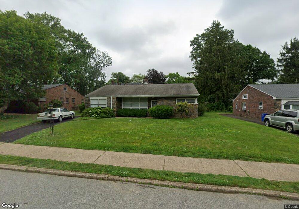
310 Crest Park Rd Philadelphia, PA 19119
East Mount Airy NeighborhoodEstimated Value: $485,000 - $528,000
3
Beds
2
Baths
1,955
Sq Ft
$258/Sq Ft
Est. Value
About This Home
This home is located at 310 Crest Park Rd, Philadelphia, PA 19119 and is currently estimated at $504,630, approximately $258 per square foot. 310 Crest Park Rd is a home located in Philadelphia County with nearby schools including Henry H. Houston School, Roxborough High School, and Renaissance Charter School.
Ownership History
Date
Name
Owned For
Owner Type
Purchase Details
Closed on
Aug 30, 2004
Sold by
Rosenthal Joseph F and Rosenthal Shirleyann R
Bought by
Long Suzanne
Current Estimated Value
Home Financials for this Owner
Home Financials are based on the most recent Mortgage that was taken out on this home.
Original Mortgage
$100,000
Interest Rate
5.69%
Mortgage Type
Purchase Money Mortgage
Create a Home Valuation Report for This Property
The Home Valuation Report is an in-depth analysis detailing your home's value as well as a comparison with similar homes in the area
Home Values in the Area
Average Home Value in this Area
Purchase History
| Date | Buyer | Sale Price | Title Company |
|---|---|---|---|
| Long Suzanne | $210,000 | -- |
Source: Public Records
Mortgage History
| Date | Status | Borrower | Loan Amount |
|---|---|---|---|
| Previous Owner | Long Suzanne | $100,000 |
Source: Public Records
Tax History Compared to Growth
Tax History
| Year | Tax Paid | Tax Assessment Tax Assessment Total Assessment is a certain percentage of the fair market value that is determined by local assessors to be the total taxable value of land and additions on the property. | Land | Improvement |
|---|---|---|---|---|
| 2025 | $6,498 | $524,000 | $104,800 | $419,200 |
| 2024 | $6,498 | $524,000 | $104,800 | $419,200 |
| 2023 | $6,498 | $464,200 | $92,840 | $371,360 |
| 2022 | $3,922 | $419,200 | $92,840 | $326,360 |
| 2021 | $4,552 | $0 | $0 | $0 |
| 2020 | $4,552 | $0 | $0 | $0 |
| 2019 | $4,751 | $0 | $0 | $0 |
| 2018 | $3,483 | $0 | $0 | $0 |
| 2017 | $3,903 | $0 | $0 | $0 |
| 2016 | $3,483 | $0 | $0 | $0 |
| 2015 | $3,334 | $0 | $0 | $0 |
| 2014 | -- | $278,800 | $174,075 | $104,725 |
| 2012 | -- | $37,152 | $10,099 | $27,053 |
Source: Public Records
Map
Nearby Homes
- 302 Crest Park Rd
- 7415 Sprague St
- 7410 Crittenden St
- 7510 Boyer St
- 7601 Crittenden St Unit A4
- 407 E Allens Ln
- 523 E Allens Ln
- 7600 Germantown Ave
- 338 E Mount Airy Ave
- 246 E Springfield Ave
- 234 E Benezet St
- 7809 Roanoke St
- 145 E Durham St
- 7804 Louise Ln
- 940 E Allens Ln
- 109 W Moreland Ave
- 7604 East Ln
- 60 E Durham St
- 7330 Bryan St
- 501 E Sedgwick St
- 308 Crest Park Rd
- 312 Crest Park Rd
- 314 Crest Park Rd
- 306 Crest Park Rd
- 311 E Roumfort Rd
- 317 Crest Park Rd
- 315 Crest Park Rd
- 321 E Roumfort Rd
- 309 E Roumfort Rd
- 319 Crest Park Rd
- 316 Crest Park Rd
- 313 Crest Park Rd
- 325 E Roumfort Rd
- 321 Crest Park Rd
- 311 Crest Park Rd
- 329 E Roumfort Rd
- 305 E Roumfort Rd
- 307 E Roumfort Rd
- 309 Crest Park Rd
- 323 Crest Park Rd