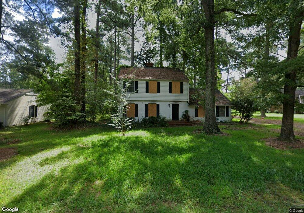
310 Cypress Ave West Point, VA 23181
Estimated Value: $328,377 - $387,000
4
Beds
3
Baths
2,552
Sq Ft
$145/Sq Ft
Est. Value
About This Home
This home is located at 310 Cypress Ave, West Point, VA 23181 and is currently estimated at $368,844, approximately $144 per square foot. 310 Cypress Ave is a home located in King William County with nearby schools including West Point Elementary School, West Point Middle School, and West Point High School.
Ownership History
Date
Name
Owned For
Owner Type
Purchase Details
Closed on
Dec 13, 2023
Sold by
Corinthian Devon W
Bought by
Eulice Samuels Asset Protection Trust and Corinthian
Current Estimated Value
Purchase Details
Closed on
Aug 3, 2006
Sold by
Powell Stacy E
Bought by
Corinthian Devon W
Home Financials for this Owner
Home Financials are based on the most recent Mortgage that was taken out on this home.
Original Mortgage
$242,202
Interest Rate
6.7%
Mortgage Type
New Conventional
Create a Home Valuation Report for This Property
The Home Valuation Report is an in-depth analysis detailing your home's value as well as a comparison with similar homes in the area
Home Values in the Area
Average Home Value in this Area
Purchase History
| Date | Buyer | Sale Price | Title Company |
|---|---|---|---|
| Eulice Samuels Asset Protection Trust | -- | None Listed On Document | |
| Corinthian Devon W | $254,900 | -- |
Source: Public Records
Mortgage History
| Date | Status | Borrower | Loan Amount |
|---|---|---|---|
| Previous Owner | Corinthian Devon W | $242,202 |
Source: Public Records
Tax History Compared to Growth
Tax History
| Year | Tax Paid | Tax Assessment Tax Assessment Total Assessment is a certain percentage of the fair market value that is determined by local assessors to be the total taxable value of land and additions on the property. | Land | Improvement |
|---|---|---|---|---|
| 2025 | $681 | $223,400 | $28,000 | $195,400 |
| 2024 | $603 | $223,400 | $28,000 | $195,400 |
| 2023 | $603 | $223,400 | $28,000 | $195,400 |
| 2022 | $650 | $173,300 | $28,000 | $145,300 |
| 2021 | $659 | $173,300 | $28,000 | $145,300 |
| 2020 | $659 | $171,400 | $27,000 | $144,400 |
| 2019 | $659 | $172,500 | $28,000 | $144,500 |
| 2018 | $676 | $173,300 | $28,000 | $145,300 |
| 2017 | $702 | $173,300 | $28,000 | $145,300 |
| 2016 | $711 | $173,300 | $28,000 | $145,300 |
| 2015 | $745 | $173,300 | $28,000 | $145,300 |
| 2014 | $846 | $0 | $0 | $0 |
Source: Public Records
Map
Nearby Homes
- 4030 Dogwood Dr
- 0 Tanager Ct
- Lot 6 Tanager Ct
- .21ac King William Ave
- Lot 24 King William Ave
- Lot 25 King William Ave
- 3050 King William Ave
- 3559 Odi St
- 3557 Odi St
- 321 Pointers Dr
- 314 Ogden St
- 311 Pointers Dr
- Lot 23 Glen St
- 000 Glen St
- .21ac Glen St
- 00 Glen St
- 4204 Mattaponi Ave
- 322 Ogden St
- 332 Ogden St
- 342 Ogden St
- 270 Cypress Ave
- 330 Cypress Ave
- 330 Cypress Ave
- 300 W Euclid Blvd
- 320 Cypress Ave
- 280 Cypress Ave
- 250 Cypress Ave
- 3680 Romancoke
- 230 Cypress Ave
- 260 W Euclid Blvd
- 240 Cypress Ave
- 210 Cypress Ave
- 310 W Euclid Blvd
- 220 Cypress Ave
- 220 W Euclid Blvd
- 3800 Camellia Dr
- 239 W Euclid Blvd
- 231 W Euclid Blvd
- 3820 Camellia Dr
- 211 W Euclid Blvd