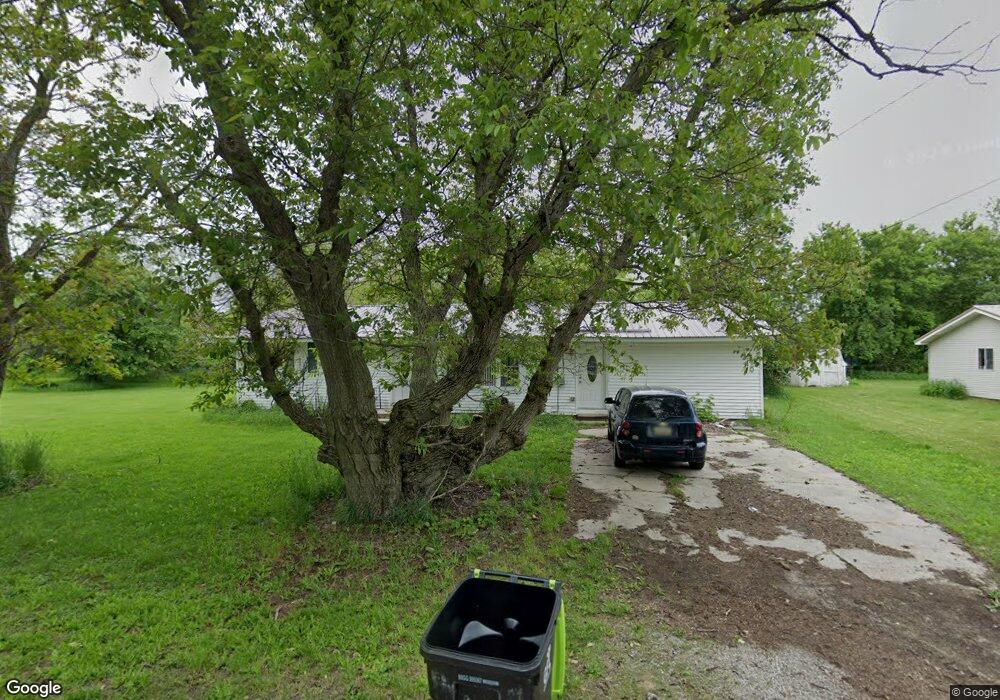
310 Dale St Whittemore, MI 48770
Estimated Value: $108,000 - $134,417
3
Beds
1
Bath
1,475
Sq Ft
$78/Sq Ft
Est. Value
About This Home
This home is located at 310 Dale St, Whittemore, MI 48770 and is currently estimated at $115,604, approximately $78 per square foot. 310 Dale St is a home located in Iosco County with nearby schools including Whittemore-Prescott Elementary School and Whittemore-Prescott Junior/Senior High School.
Ownership History
Date
Name
Owned For
Owner Type
Purchase Details
Closed on
Feb 11, 2019
Sold by
Beckley Edward W
Bought by
Beckley Edward W and Nichol Kimberley M
Current Estimated Value
Purchase Details
Closed on
Jan 24, 2017
Sold by
Justin E Briggs Revocable Living Trust
Bought by
Beckley Edward W
Purchase Details
Closed on
Aug 21, 2009
Sold by
Valent Daniel R and Valent Daniel R
Bought by
Triad Diminion Equities Llc
Create a Home Valuation Report for This Property
The Home Valuation Report is an in-depth analysis detailing your home's value as well as a comparison with similar homes in the area
Home Values in the Area
Average Home Value in this Area
Purchase History
| Date | Buyer | Sale Price | Title Company |
|---|---|---|---|
| Beckley Edward W | -- | -- | |
| Beckley Edward W | $42,000 | None Available | |
| Triad Diminion Equities Llc | -- | -- |
Source: Public Records
Tax History Compared to Growth
Tax History
| Year | Tax Paid | Tax Assessment Tax Assessment Total Assessment is a certain percentage of the fair market value that is determined by local assessors to be the total taxable value of land and additions on the property. | Land | Improvement |
|---|---|---|---|---|
| 2025 | $1,024 | $48,100 | $0 | $48,100 |
| 2024 | $1,096 | $44,300 | $0 | $0 |
| 2023 | $309 | $41,800 | $3,700 | $38,100 |
| 2022 | $1,021 | $35,100 | $3,700 | $31,400 |
| 2021 | $953 | $31,800 | $3,700 | $28,100 |
| 2020 | $931 | $31,300 | $3,700 | $27,600 |
| 2019 | $1,377 | $29,300 | $3,700 | $25,600 |
| 2018 | $1,348 | $26,900 | $3,700 | $23,200 |
| 2017 | $1,308 | $27,800 | $27,800 | $0 |
| 2016 | $1,347 | $27,800 | $0 | $0 |
| 2015 | -- | $27,500 | $0 | $0 |
| 2014 | -- | $27,900 | $0 | $0 |
| 2013 | -- | $20,200 | $0 | $0 |
Source: Public Records
Map
Nearby Homes
- 316 S Bullock St
- 1870 Michigan 65
- 100 & 102 S Bullock St
- 7207 Prescott Rd
- 6849 Leggett Rd
- 1831 Kitchen Rd
- 8720 Whittemore Rd
- 8109 M 55
- 3433 Nile Rd
- 5745 Carpenter Rd
- 600 N Britt Rd
- 10 S Imperial Dr
- 5363 Keystone Rd
- 388 W Lagrant Rd
- 4901 Michigan 55
- 4861 Carpenter Rd
- 4121 Leggett Rd
- N/A Crosby Rd
- 10 W Maple Ridge Rd
- 111 South St