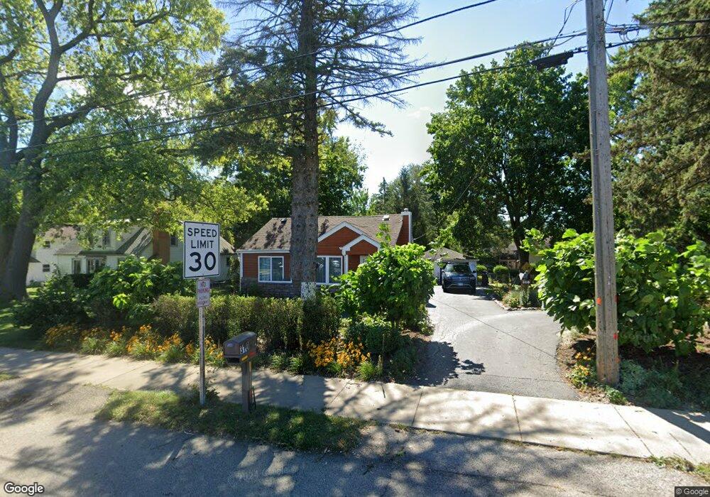
310 E Liberty St Wauconda, IL 60084
Estimated Value: $192,000 - $222,000
Studio
1
Bath
982
Sq Ft
$218/Sq Ft
Est. Value
About This Home
This home is located at 310 E Liberty St, Wauconda, IL 60084 and is currently estimated at $214,210, approximately $218 per square foot. 310 E Liberty St is a home located in Lake County with nearby schools including Wauconda Grade School, Wauconda Middle School, and Wauconda High School.
Ownership History
Date
Name
Owned For
Owner Type
Purchase Details
Closed on
Aug 1, 2022
Sold by
Marin and Clara
Bought by
Mendez Norberto and Mendez Leobijilda
Current Estimated Value
Home Financials for this Owner
Home Financials are based on the most recent Mortgage that was taken out on this home.
Original Mortgage
$119,900
Outstanding Balance
$114,801
Interest Rate
5.7%
Mortgage Type
Balloon
Estimated Equity
$99,409
Purchase Details
Closed on
Jun 20, 2016
Sold by
Daun Dorothy E and Rippinger Denise
Bought by
Marin Estreberto and Marin Clara
Home Financials for this Owner
Home Financials are based on the most recent Mortgage that was taken out on this home.
Original Mortgage
$97,500
Interest Rate
4.62%
Mortgage Type
New Conventional
Purchase Details
Closed on
Apr 25, 2011
Sold by
Daun Dorothy E
Bought by
Daun Dorothy E and Rippinger Denise
Create a Home Valuation Report for This Property
The Home Valuation Report is an in-depth analysis detailing your home's value as well as a comparison with similar homes in the area
Home Values in the Area
Average Home Value in this Area
Purchase History
| Date | Buyer | Sale Price | Title Company |
|---|---|---|---|
| Mendez Norberto | $150,000 | Fidelity National Title | |
| Marin Estreberto | $130,000 | Carrington Title Partners Ll | |
| Daun Dorothy E | -- | None Available |
Source: Public Records
Mortgage History
| Date | Status | Borrower | Loan Amount |
|---|---|---|---|
| Open | Mendez Norberto | $119,900 | |
| Previous Owner | Marin Estreberto | $97,500 |
Source: Public Records
Tax History
| Year | Tax Paid | Tax Assessment Tax Assessment Total Assessment is a certain percentage of the fair market value that is determined by local assessors to be the total taxable value of land and additions on the property. | Land | Improvement |
|---|---|---|---|---|
| 2024 | $3,905 | $52,236 | $17,465 | $34,771 |
| 2023 | $4,575 | $47,747 | $15,964 | $31,783 |
| 2022 | $4,575 | $41,928 | $14,107 | $27,821 |
| 2021 | $4,385 | $39,618 | $13,330 | $26,288 |
| 2020 | $4,261 | $37,760 | $12,705 | $25,055 |
| 2019 | $3,798 | $35,686 | $12,007 | $23,679 |
| 2018 | $3,696 | $32,127 | $13,958 | $18,169 |
| 2017 | $3,694 | $31,756 | $13,797 | $17,959 |
| 2016 | $3,485 | $30,072 | $13,065 | $17,007 |
| 2015 | $3,301 | $27,607 | $11,994 | $15,613 |
| 2014 | $1,328 | $26,337 | $13,200 | $13,137 |
| 2012 | $1,297 | $30,534 | $13,438 | $17,096 |
Source: Public Records
Map
Nearby Homes
- 155 E Mill St Unit 8
- 25586 W High St
- 25578 W High St
- 25570 W High St
- 27071 N Ridge St
- 360 Promontory Ln Unit D
- 365 Lake Ave Unit C
- 124 Hubbard Ct
- 450 N Main St Unit S208A
- 305 Crestview Dr Unit D
- 235 Crestview Dr Unit A
- 25235 W Hermosa Ave
- 505 Woodland Ave
- 701 Lake Shore Dr
- 26587 N Cherrywood Ln
- 225 Regency Ct Unit A
- 515 Indian Ridge Trail
- 555 Meadowview Dr
- 255 Regency Ct Unit D
- 255 Regency Ct Unit C
- 302 E Liberty St
- 316 E Liberty St
- 111 Lotus Ave
- 102 Lotus Ave
- 110 Hammond Ave
- 113 Lotus Ave
- 108 Hammond Ave
- 112 Hammond Ave
- 228 E Liberty St
- 241 Kimball Ave
- 311 Kimball Ave
- 114 Hammond Ave
- 226 E Liberty St
- 237 Kimball Ave
- 321 Kimball Ave
- 101 Hammond Ave
- 222 E Liberty St
- 323 E Liberty St
- 231 Kimball Ave
- 406 E Liberty St
Your Personal Tour Guide
Ask me questions while you tour the home.