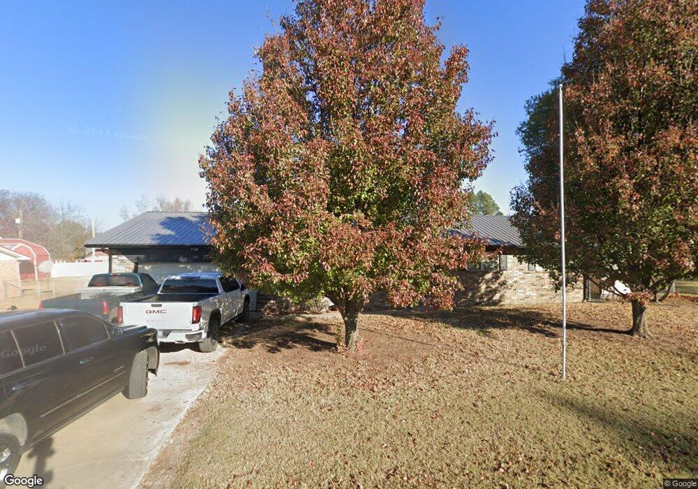
310 E Madison St Henryetta, OK 74437
Estimated Value: $96,000 - $145,000
3
Beds
2
Baths
1,314
Sq Ft
$89/Sq Ft
Est. Value
About This Home
This home is located at 310 E Madison St, Henryetta, OK 74437 and is currently estimated at $117,409, approximately $89 per square foot. 310 E Madison St is a home located in Okmulgee County with nearby schools including Henryetta Elementary School, Henryetta Middle School, and Henryetta High School.
Ownership History
Date
Name
Owned For
Owner Type
Purchase Details
Closed on
Jul 11, 2016
Bought by
Floyd Brandon L
Current Estimated Value
Home Financials for this Owner
Home Financials are based on the most recent Mortgage that was taken out on this home.
Original Mortgage
$81,241
Outstanding Balance
$64,320
Interest Rate
3.41%
Estimated Equity
$53,089
Purchase Details
Closed on
Jul 1, 2008
Sold by
Buckminister Philip I and Buckminister Deretha C
Bought by
Williams Roger and Williams Krystle
Purchase Details
Closed on
Jan 10, 1994
Sold by
Patricia Porter
Bought by
Philip Buckminster
Create a Home Valuation Report for This Property
The Home Valuation Report is an in-depth analysis detailing your home's value as well as a comparison with similar homes in the area
Home Values in the Area
Average Home Value in this Area
Purchase History
| Date | Buyer | Sale Price | Title Company |
|---|---|---|---|
| Floyd Brandon L | -- | -- | |
| Williams Roger | $72,500 | None Available | |
| Philip Buckminster | $59,000 | -- |
Source: Public Records
Mortgage History
| Date | Status | Borrower | Loan Amount |
|---|---|---|---|
| Open | Floyd Brandon L | $81,241 | |
| Closed | Floyd Brandon L | -- |
Source: Public Records
Tax History
| Year | Tax Paid | Tax Assessment Tax Assessment Total Assessment is a certain percentage of the fair market value that is determined by local assessors to be the total taxable value of land and additions on the property. | Land | Improvement |
|---|---|---|---|---|
| 2025 | $1,069 | $9,880 | $720 | $9,160 |
| 2024 | $1,069 | $9,881 | $720 | $9,161 |
| 2023 | $874 | $8,962 | $720 | $8,242 |
| 2022 | $836 | $8,535 | $720 | $7,815 |
| 2021 | $847 | $8,535 | $720 | $7,815 |
| 2020 | $929 | $9,360 | $720 | $8,640 |
| 2019 | $976 | $9,960 | $720 | $9,240 |
| 2018 | $1,040 | $10,560 | $720 | $9,840 |
| 2017 | $1,042 | $10,560 | $720 | $9,840 |
| 2016 | $689 | $7,988 | $720 | $7,268 |
| 2015 | $534 | $7,755 | $720 | $7,035 |
| 2014 | $618 | $8,700 | $720 | $7,980 |
Source: Public Records
Map
Nearby Homes
- 0 E Corporation St
- 205 W Washington St
- 311 W Madison St
- 12780 New Lake Rd
- 205 W Ragan St
- 201 E Main St
- 104500 S 4095 Rd
- 318 E Trudgeon St
- 512 E Trudgeon St
- 214 N B St
- 803 W Moore St
- 0 S 230 Rd Unit 2603845
- 909 W Ragan St
- 0000 U S Highway 62
- 303 W Cummings St
- 420 U S 75
- 28755 S 230 Rd
- 112 W Merrick St
- 612 NE 1st St
- 512 N 4th St
- 308 E Madison St
- 1011 S C St
- 311 E Barclay St
- 307 E Barclay St
- 1001 S C St
- 309 E Madison St
- 311 E Madison St
- 304 E Madison St
- 307 E Madison St
- 305 E Barclay St
- 313 E Madison St
- 305 E Madison St
- 1004 S C St
- 1008 S C St
- 1004 S B St
- 1002 S B St
- 306 E Barclay St
- 1000 S C St
- 310 E Jefferson St
- 301 E Madison St
Your Personal Tour Guide
Ask me questions while you tour the home.