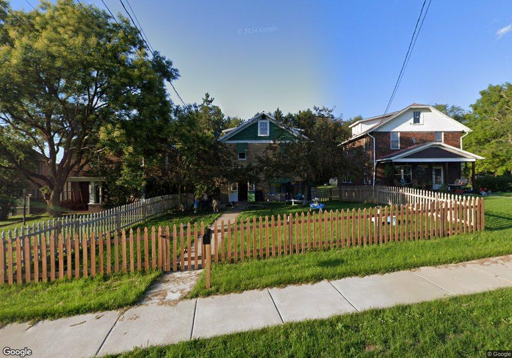
310 E Main St Brookville, PA 15825
Estimated Value: $73,257 - $174,000
3
Beds
1
Bath
1,456
Sq Ft
$88/Sq Ft
Est. Value
About This Home
This home is located at 310 E Main St, Brookville, PA 15825 and is currently estimated at $128,564, approximately $88 per square foot. 310 E Main St is a home located in Jefferson County with nearby schools including Northside Elementary School, Hickory Grove Elementary School, and Pinecreek Elementary School.
Ownership History
Date
Name
Owned For
Owner Type
Purchase Details
Closed on
Jan 23, 2009
Sold by
Morey Craig A
Bought by
Foringer Cassandra M and Foringer Lyndsey S
Current Estimated Value
Home Financials for this Owner
Home Financials are based on the most recent Mortgage that was taken out on this home.
Original Mortgage
$78,061
Outstanding Balance
$50,204
Interest Rate
5.51%
Mortgage Type
FHA
Estimated Equity
$78,360
Create a Home Valuation Report for This Property
The Home Valuation Report is an in-depth analysis detailing your home's value as well as a comparison with similar homes in the area
Home Values in the Area
Average Home Value in this Area
Purchase History
| Date | Buyer | Sale Price | Title Company |
|---|---|---|---|
| Foringer Cassandra M | $7,450,000 | None Available |
Source: Public Records
Mortgage History
| Date | Status | Borrower | Loan Amount |
|---|---|---|---|
| Open | Foringer Cassandra M | $78,061 |
Source: Public Records
Tax History Compared to Growth
Tax History
| Year | Tax Paid | Tax Assessment Tax Assessment Total Assessment is a certain percentage of the fair market value that is determined by local assessors to be the total taxable value of land and additions on the property. | Land | Improvement |
|---|---|---|---|---|
| 2025 | $1,391 | $20,960 | $2,180 | $18,780 |
| 2024 | $1,349 | $20,960 | $2,180 | $18,780 |
| 2023 | $1,307 | $20,960 | $2,180 | $18,780 |
| 2022 | $1,307 | $20,960 | $2,180 | $18,780 |
| 2021 | $1,248 | $20,640 | $2,170 | $18,470 |
| 2020 | $1,248 | $20,640 | $2,170 | $18,470 |
| 2019 | $1,230 | $20,640 | $2,170 | $18,470 |
| 2018 | $1,203 | $20,640 | $2,170 | $18,470 |
| 2017 | $1,182 | $20,640 | $2,170 | $18,470 |
| 2016 | $1,090 | $20,640 | $2,170 | $18,470 |
| 2015 | -- | $20,640 | $2,170 | $18,470 |
| 2012 | -- | $20,640 | $2,170 | $18,470 |
Source: Public Records
Map
Nearby Homes
- 00 Mccullough Dr
- 0 Richardsville Rd
- 560 Pennsylvania 28
- 00 B St
- 138 Pickering St
- 255 Euclid Ave
- 416 N Pickering St
- 8± Acres Along Kunselman Rd
- 14± Acres Along Kunselman Rd
- 57± Acres Along Kunselman Rd
- 10 Sphere St
- 25 Waterford Pike
- 405 Butler Cemetery Rd
- 105 Laurel Ave
- 85 Hughey Rd
- 00 Stone Rd
- 4000 Sulgar Rd
- 25 James Ln
- 0 Greeley Rd
- 1815 Greeley Rd