310 E Snover Rd Mayville, MI 48744
Estimated Value: $218,000 - $647,410
Studio
--
Bath
2,779
Sq Ft
$131/Sq Ft
Est. Value
About This Home
This home is located at 310 E Snover Rd, Mayville, MI 48744 and is currently estimated at $363,470, approximately $130 per square foot. 310 E Snover Rd is a home with nearby schools including Mayville Elementary School, Mayville Middle School, and Mayville Middle & High School.
Ownership History
Date
Name
Owned For
Owner Type
Purchase Details
Closed on
Aug 12, 2020
Sold by
Green Katie and Green Peter A
Bought by
Green Peter A and Green Katie
Current Estimated Value
Home Financials for this Owner
Home Financials are based on the most recent Mortgage that was taken out on this home.
Original Mortgage
$236,355
Outstanding Balance
$167,453
Interest Rate
2.9%
Mortgage Type
New Conventional
Estimated Equity
$196,017
Purchase Details
Closed on
Sep 18, 2013
Sold by
Anderson Ronald C
Bought by
Green Peter and Green Katie
Create a Home Valuation Report for This Property
The Home Valuation Report is an in-depth analysis detailing your home's value as well as a comparison with similar homes in the area
Purchase History
| Date | Buyer | Sale Price | Title Company |
|---|---|---|---|
| Green Peter A | -- | Mortgage Information Svcs In | |
| Green Peter | $25,000 | None Available |
Source: Public Records
Mortgage History
| Date | Status | Borrower | Loan Amount |
|---|---|---|---|
| Open | Green Peter A | $236,355 |
Source: Public Records
Tax History
| Year | Tax Paid | Tax Assessment Tax Assessment Total Assessment is a certain percentage of the fair market value that is determined by local assessors to be the total taxable value of land and additions on the property. | Land | Improvement |
|---|---|---|---|---|
| 2025 | $1,960 | $446,700 | $0 | $0 |
| 2024 | $1,960 | $377,800 | $0 | $0 |
| 2023 | $4,750 | $331,600 | $0 | $0 |
| 2022 | $4,602 | $278,200 | $0 | $0 |
| 2021 | $1,721 | $249,300 | $0 | $0 |
| 2020 | $4,460 | $237,500 | $0 | $0 |
| 2019 | $4,522 | $211,900 | $0 | $0 |
| 2018 | $4,416 | $192,900 | $0 | $0 |
| 2017 | $1,593 | $199,200 | $0 | $0 |
| 2016 | $2,621 | $190,100 | $0 | $0 |
| 2015 | $5 | $142,600 | $0 | $0 |
| 2014 | $5 | $35,000 | $0 | $0 |
Source: Public Records
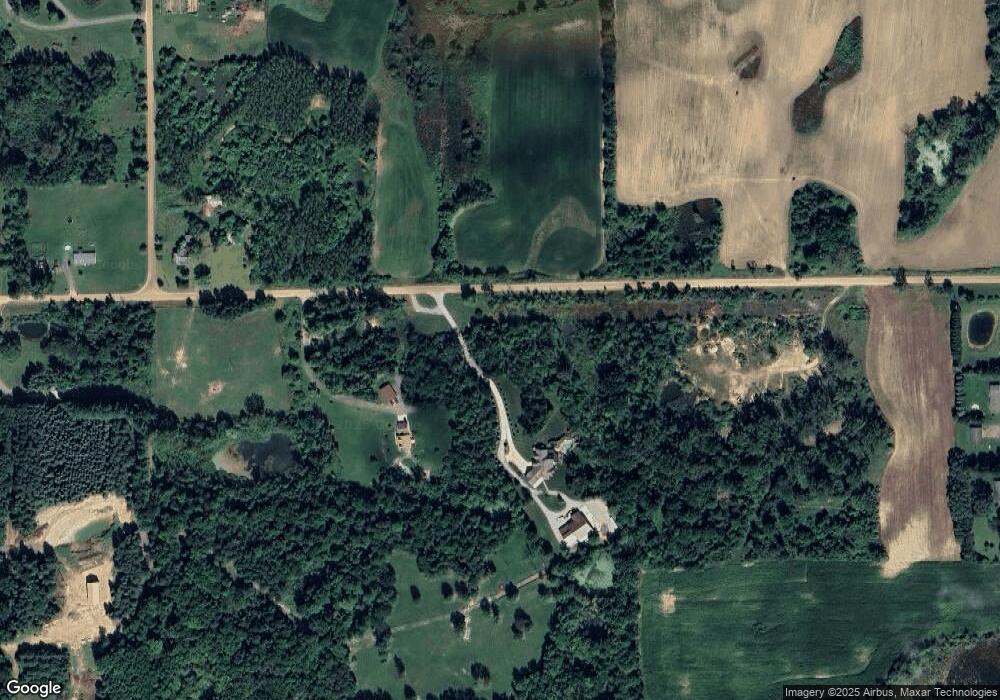
Map
Nearby Homes
- 000 Mayville
- 896 W Saginaw Rd
- 132 W Main St
- 203 W Main St
- 6010 Fox St
- 1994 E Snover Rd
- 0 VL Mertz Rd
- 6158 S Fulton St
- 6140 1st St
- 6130 2nd St
- 6223 1st St
- 0 Mertz Rd Unit 20251026759
- 5375 Treasurer Rd
- 700 Obrien Rd
- 6957 Conrad Rd
- 5749 Leix Rd
- 2753 E Snover Rd
- 0 S Washburn Rd Unit 50094706
- 9460 Lapeer Rd
- 00 Kelch Rd
- 308 E Snover Rd
- 5548 Lobdell Rd
- 5520 Lobdell Rd
- 5534 Lobdell Rd
- 257 E Snover Rd
- 5556 Lobdell Rd
- 5510 Lobdell Rd
- 520 W Ohmer Rd
- 215 E Snover Rd
- 600 W Ohmer Rd
- 600 W Ohmer Rd
- 5688 Lobdell Rd
- 540 W Ohmer Rd
- 206 E Snover Rd
- 5391 Maier Rd
- 5385 Maier Rd
- 5412 Maier Rd
- 169 E Snover Rd
- 0 Hunt Unit 29014462
- 0 Hunt Unit 29110879
Your Personal Tour Guide
Ask me questions while you tour the home.