310 Falcon Dr Weatherford, TX 76088
Estimated Value: $585,199 - $720,000
--
Bed
--
Bath
3,086
Sq Ft
$218/Sq Ft
Est. Value
About This Home
This home is located at 310 Falcon Dr, Weatherford, TX 76088 and is currently estimated at $671,550, approximately $217 per square foot. 310 Falcon Dr is a home with nearby schools including Peaster Elementary School, Peaster Middle School, and Peaster High School.
Ownership History
Date
Name
Owned For
Owner Type
Purchase Details
Closed on
Jul 19, 2016
Sold by
Boyd David W and Boyd Martha E
Bought by
Larsen Timothy and Larsen Kimberly
Current Estimated Value
Home Financials for this Owner
Home Financials are based on the most recent Mortgage that was taken out on this home.
Original Mortgage
$230,939
Interest Rate
3.6%
Mortgage Type
Construction
Purchase Details
Closed on
Jan 11, 2012
Sold by
Messersmith Gary R and Messersmith Tanya O
Bought by
Miller Barry L and Miller Marjorie T
Purchase Details
Closed on
Jan 25, 2005
Sold by
Bluegreen Southwest One Lp
Bought by
Larsen Timothy and Larsen Kimberly
Home Financials for this Owner
Home Financials are based on the most recent Mortgage that was taken out on this home.
Original Mortgage
$34,110
Interest Rate
5.77%
Mortgage Type
Purchase Money Mortgage
Create a Home Valuation Report for This Property
The Home Valuation Report is an in-depth analysis detailing your home's value as well as a comparison with similar homes in the area
Home Values in the Area
Average Home Value in this Area
Purchase History
| Date | Buyer | Sale Price | Title Company |
|---|---|---|---|
| Larsen Timothy | -- | Stc | |
| Miller Barry L | -- | None Available | |
| Larsen Timothy | -- | -- | |
| Boyd David W | -- | None Available |
Source: Public Records
Mortgage History
| Date | Status | Borrower | Loan Amount |
|---|---|---|---|
| Closed | Larsen Timothy | $230,939 | |
| Previous Owner | Boyd David W | $34,110 |
Source: Public Records
Tax History Compared to Growth
Tax History
| Year | Tax Paid | Tax Assessment Tax Assessment Total Assessment is a certain percentage of the fair market value that is determined by local assessors to be the total taxable value of land and additions on the property. | Land | Improvement |
|---|---|---|---|---|
| 2025 | $8,825 | $622,520 | $106,350 | $516,170 |
| 2024 | $8,825 | $575,454 | -- | -- |
| 2023 | $8,825 | $523,140 | $0 | $0 |
| 2022 | $9,486 | $475,590 | $72,780 | $402,810 |
| 2021 | $8,826 | $475,590 | $72,780 | $402,810 |
| 2020 | $8,186 | $399,150 | $30,150 | $369,000 |
| 2019 | $8,601 | $399,150 | $30,150 | $369,000 |
| 2018 | $8,660 | $400,710 | $30,150 | $370,560 |
| 2017 | $7,386 | $343,450 | $30,150 | $313,300 |
| 2016 | $648 | $30,150 | $30,150 | $0 |
| 2015 | $640 | $30,150 | $30,150 | $0 |
| 2014 | -- | $30,000 | $30,000 | $0 |
Source: Public Records
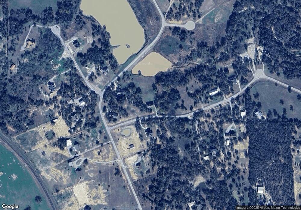
Map
Nearby Homes
- 245 Bishop Dr
- 0000 Falcon Dr
- 117 Goldfinch Ln
- 242 Bishop Dr
- 142 Bishop Dr
- 114 Redtail Ct
- 160 Falcon Dr
- 5686 New Authon Rd
- 3099 Cabaniss Ln
- 308 Rickys Rd
- 309 Rickys Rd
- 312 Rickys Rd
- 201 Jefferson Way
- 209 Jefferson Way
- 105 Norene Ln
- 225 Jefferson Way
- 101 Norene Ln
- 431 Advance Rd
- 1005 Cheyenne Rd
- 6500 Fm Rd Unit 1885
- 210 Bishop Dr
- 00000 Bishop Dr
- 000 Bishop
- oo Bishop Dr
- 2037 Liberty Ct
- 2008 Liberty Ct
- 2005 Liberty Ct
- 2036 Liberty Ct
- 2032 Liberty Ct
- 2024 Liberty Ct
- 2029 Liberty Ct
- 2013 Liberty Ct
- 2016 Liberty Ct
- 2020 Liberty Ct
- 2012 Liberty Ct
- 2021 Liberty Ct
- 2009 Liberty Ct
- 2033 Liberty Ct
- 238 Bishop Dr
- 204 Bishop Dr