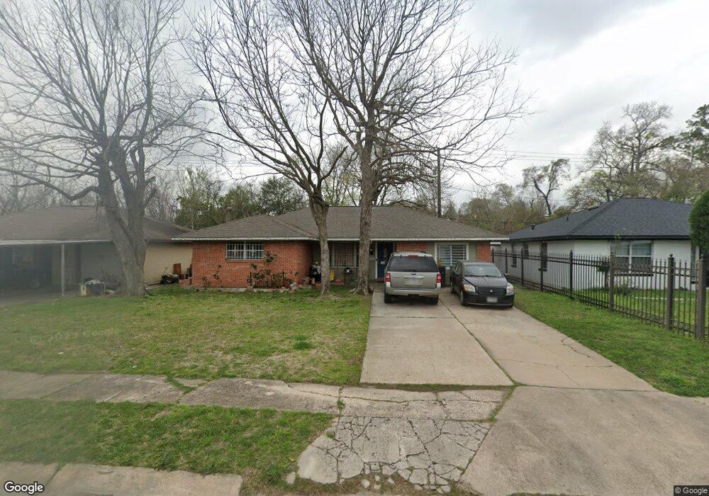
310 Glenburnie Dr Houston, TX 77022
Independence Heights NeighborhoodEstimated Value: $205,496 - $251,000
4
Beds
2
Baths
1,510
Sq Ft
$153/Sq Ft
Est. Value
About This Home
This home is located at 310 Glenburnie Dr, Houston, TX 77022 and is currently estimated at $230,374, approximately $152 per square foot. 310 Glenburnie Dr is a home located in Harris County with nearby schools including Kennedy Elementary School, Williams Middle, and Booker T Washington Sr High.
Ownership History
Date
Name
Owned For
Owner Type
Purchase Details
Closed on
Mar 23, 1995
Sold by
Maples John Henry and Conway Hazel Naomi
Bought by
Martinez Francisco
Current Estimated Value
Home Financials for this Owner
Home Financials are based on the most recent Mortgage that was taken out on this home.
Original Mortgage
$37,900
Interest Rate
8.7%
Create a Home Valuation Report for This Property
The Home Valuation Report is an in-depth analysis detailing your home's value as well as a comparison with similar homes in the area
Home Values in the Area
Average Home Value in this Area
Purchase History
| Date | Buyer | Sale Price | Title Company |
|---|---|---|---|
| Martinez Francisco | -- | First American Title |
Source: Public Records
Mortgage History
| Date | Status | Borrower | Loan Amount |
|---|---|---|---|
| Closed | Martinez Francisco | $37,900 |
Source: Public Records
Tax History Compared to Growth
Tax History
| Year | Tax Paid | Tax Assessment Tax Assessment Total Assessment is a certain percentage of the fair market value that is determined by local assessors to be the total taxable value of land and additions on the property. | Land | Improvement |
|---|---|---|---|---|
| 2025 | $17 | $209,286 | $109,350 | $99,936 |
| 2024 | $17 | $193,646 | $109,350 | $84,296 |
| 2023 | $17 | $192,038 | $87,480 | $104,558 |
| 2022 | $3,357 | $174,098 | $87,480 | $86,618 |
| 2021 | $3,230 | $148,436 | $87,480 | $60,956 |
| 2020 | $3,051 | $125,985 | $43,740 | $82,245 |
| 2019 | $2,931 | $122,521 | $43,740 | $78,781 |
| 2018 | $230 | $82,160 | $25,515 | $56,645 |
| 2017 | $2,548 | $104,444 | $25,515 | $78,929 |
| 2016 | $2,316 | $98,745 | $18,225 | $80,520 |
| 2015 | $350 | $83,279 | $18,225 | $65,054 |
| 2014 | $350 | $80,329 | $18,225 | $62,104 |
Source: Public Records
Map
Nearby Homes
- 319 E Delz Dr
- 327 E Delz Dr
- 5203 Burress Springs Ln
- 219 E Janisch Rd
- 146 Hohldale St
- 423 Gammon Dr
- 302 E Rogers St
- 202 Leago St
- 330 Spell St
- 303 Victoria Dr
- 0 Leago St Unit 38076099
- 238 Betral St
- 103 E Janisch Rd
- 0 Victoria Unit 54691087
- 315 Hohldale St
- 5518 Cortlandt St Unit B
- 5518 Cortlandt St Unit A
- 313 E Tidwell Rd
- 405 Hohldale St
- 627 Glenburnie Dr
- 306 Glenburnie Dr
- 314 Glenburnie Dr
- 302 Glenburnie Dr
- 318 Glenburnie Dr
- 311 Glenburnie Dr
- 307 Glenburnie Dr
- 303 E Delz Dr
- 315 Glenburnie Dr
- 303 Glenburnie Dr
- 307 E Delz Dr
- 327 Glenburnie Dr
- 311 E Delz Dr
- 322 Acme Ct
- 326 Glenburnie Dr
- 5016 Arrowpoint Dr
- 5006 Arrowpoint Dr
- 315 E Delz Dr
- 318 Acme Ct
- 5002 Arrowpoint Dr
- 326 Acme Ct