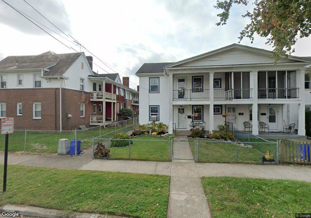
310 Hayes St Bristol, PA 19007
Estimated Value: $280,111 - $329,000
--
Bed
1
Bath
1,464
Sq Ft
$207/Sq Ft
Est. Value
About This Home
This home is located at 310 Hayes St, Bristol, PA 19007 and is currently estimated at $303,028, approximately $206 per square foot. 310 Hayes St is a home located in Bucks County with nearby schools including Snyder-Girotti Elementary School, Bristol High School, and First Presbyterian Church School.
Ownership History
Date
Name
Owned For
Owner Type
Purchase Details
Closed on
Aug 24, 2007
Sold by
Brown Vivian F
Bought by
Collins Joelle and Parrish Patrick
Current Estimated Value
Home Financials for this Owner
Home Financials are based on the most recent Mortgage that was taken out on this home.
Original Mortgage
$100,000
Interest Rate
6.39%
Mortgage Type
Purchase Money Mortgage
Purchase Details
Closed on
May 6, 1971
Bought by
Fenton Elaine Iola
Create a Home Valuation Report for This Property
The Home Valuation Report is an in-depth analysis detailing your home's value as well as a comparison with similar homes in the area
Home Values in the Area
Average Home Value in this Area
Purchase History
| Date | Buyer | Sale Price | Title Company |
|---|---|---|---|
| Collins Joelle | $100,000 | None Available | |
| Fenton Elaine Iola | -- | -- |
Source: Public Records
Mortgage History
| Date | Status | Borrower | Loan Amount |
|---|---|---|---|
| Previous Owner | Collins Joelle | $100,000 |
Source: Public Records
Tax History Compared to Growth
Tax History
| Year | Tax Paid | Tax Assessment Tax Assessment Total Assessment is a certain percentage of the fair market value that is determined by local assessors to be the total taxable value of land and additions on the property. | Land | Improvement |
|---|---|---|---|---|
| 2025 | $3,725 | $16,000 | $4,600 | $11,400 |
| 2024 | $3,725 | $16,000 | $4,600 | $11,400 |
| 2023 | $3,693 | $16,000 | $4,600 | $11,400 |
| 2022 | $3,693 | $16,000 | $4,600 | $11,400 |
| 2021 | $3,693 | $16,000 | $4,600 | $11,400 |
| 2020 | $3,797 | $16,000 | $4,600 | $11,400 |
| 2019 | $3,781 | $16,000 | $4,600 | $11,400 |
| 2018 | $3,781 | $16,000 | $4,600 | $11,400 |
| 2017 | $3,761 | $16,000 | $4,600 | $11,400 |
| 2016 | $3,761 | $16,000 | $4,600 | $11,400 |
| 2015 | -- | $16,000 | $4,600 | $11,400 |
| 2014 | -- | $16,000 | $4,600 | $11,400 |
Source: Public Records
Map
Nearby Homes
- 221 Cleveland St
- 243 Monroe St
- 321 Taft St
- 314 Railroad Ave
- 61 Green Ln
- 2285 Seabird Dr Unit 14
- 16434 River View Cir
- 16442 River View Cir
- 16422 River View Cir
- 16352 River View Cir
- 16242 River View Cir
- 16344 River View Cir
- 16342 River View Cir
- 16322 River View Cir
- 16332 River View Cir
- 16131 River View Cir
- 16241 River View Cir
- 16232 River View Cir
- 16251 River View Cir
- 16453 River View Cir
- 314 Hayes St
- 1925 Wilson Ave
- 1923 Wilson Ave
- 1917 Wilson Ave
- 1929 Wilson Ave
- 318 Hayes St
- 1913 Wilson Ave
- 322 Hayes St
- 1909 Wilson Ave
- 317 Garfield St
- 1905 Wilson Ave
- 328 Hayes St
- 2001 Wilson Ave
- 321 Garfield St
- 311 Garfield St
- 315 Garfield St
- 1901 Wilson Ave
- 334 Hayes St
- 2005 Wilson Ave
- 321 Hayes St