310 James Rd Lewisburg, PA 17837
East Buffalo Township NeighborhoodEstimated Value: $496,328 - $596,000
3
Beds
3
Baths
2,313
Sq Ft
$243/Sq Ft
Est. Value
About This Home
This home is located at 310 James Rd, Lewisburg, PA 17837 and is currently estimated at $563,082, approximately $243 per square foot. 310 James Rd is a home located in Union County with nearby schools including Kelly Elementary School, Linntown Elementary School, and Donald H. Eichhorn Middle School.
Ownership History
Date
Name
Owned For
Owner Type
Purchase Details
Closed on
Apr 6, 2009
Sold by
Lingenfelter Frank A and Lingenfelter Lezly P
Bought by
Clark Daniel F and Clark Lisa B
Current Estimated Value
Home Financials for this Owner
Home Financials are based on the most recent Mortgage that was taken out on this home.
Original Mortgage
$284,050
Outstanding Balance
$179,565
Interest Rate
4.94%
Mortgage Type
New Conventional
Estimated Equity
$383,517
Purchase Details
Closed on
Jul 2, 2007
Sold by
Grill David A and Grill Lestia M
Bought by
Lingenfelter Frank A and Lingenfelter Lezly P
Home Financials for this Owner
Home Financials are based on the most recent Mortgage that was taken out on this home.
Original Mortgage
$224,000
Interest Rate
6.48%
Mortgage Type
New Conventional
Create a Home Valuation Report for This Property
The Home Valuation Report is an in-depth analysis detailing your home's value as well as a comparison with similar homes in the area
Home Values in the Area
Average Home Value in this Area
Purchase History
| Date | Buyer | Sale Price | Title Company |
|---|---|---|---|
| Clark Daniel F | $299,000 | None Available | |
| Lingenfelter Frank A | $280,000 | None Available |
Source: Public Records
Mortgage History
| Date | Status | Borrower | Loan Amount |
|---|---|---|---|
| Open | Clark Daniel F | $284,050 | |
| Previous Owner | Lingenfelter Frank A | $224,000 |
Source: Public Records
Tax History Compared to Growth
Tax History
| Year | Tax Paid | Tax Assessment Tax Assessment Total Assessment is a certain percentage of the fair market value that is determined by local assessors to be the total taxable value of land and additions on the property. | Land | Improvement |
|---|---|---|---|---|
| 2025 | $7,716 | $262,900 | $35,400 | $227,500 |
| 2024 | $6,983 | $244,500 | $35,400 | $209,100 |
| 2023 | $6,773 | $244,500 | $35,400 | $209,100 |
| 2022 | $6,760 | $244,500 | $35,400 | $209,100 |
| 2021 | $6,790 | $244,500 | $35,400 | $209,100 |
| 2020 | $6,795 | $244,500 | $35,400 | $209,100 |
| 2019 | $68,460 | $244,500 | $35,400 | $209,100 |
| 2018 | $6,753 | $244,500 | $35,400 | $209,100 |
| 2017 | $6,753 | $244,500 | $35,400 | $209,100 |
| 2016 | $6,496 | $244,500 | $35,400 | $209,100 |
| 2015 | -- | $244,500 | $35,400 | $209,100 |
| 2014 | -- | $244,500 | $35,400 | $209,100 |
Source: Public Records
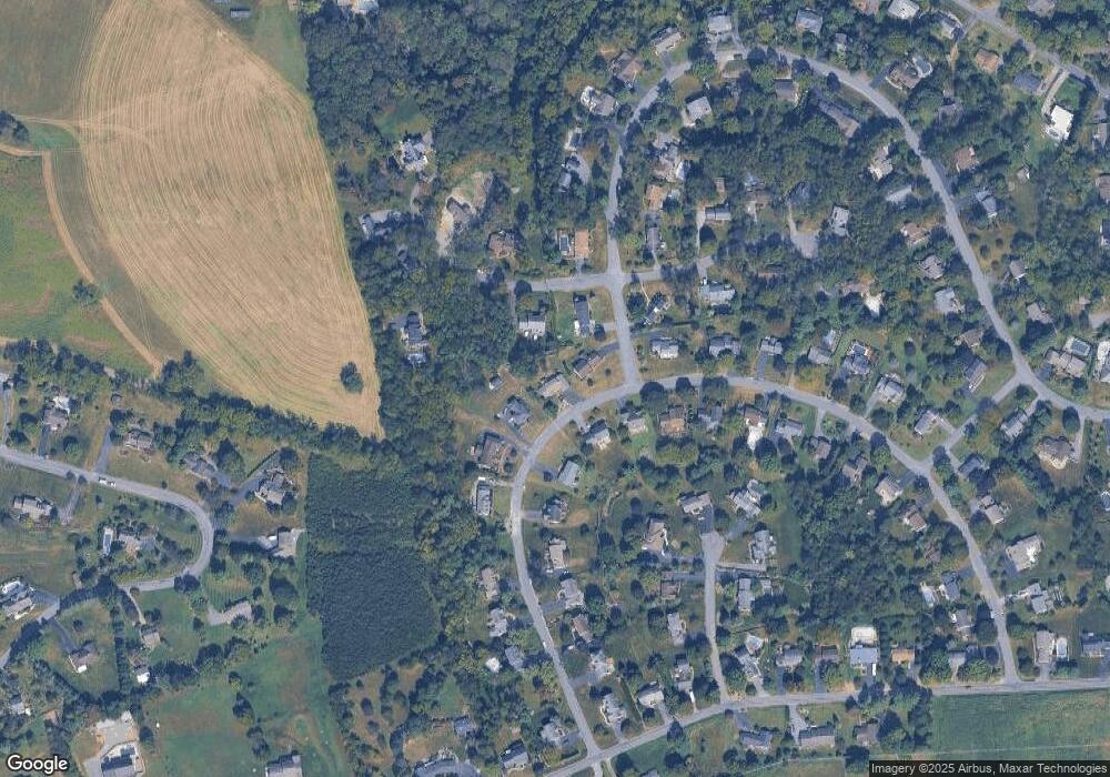
Map
Nearby Homes
- 96 Dogwood Ln
- 211 James Rd
- 223 Country Rd
- 300 Sunnyside Dr
- 407 S 20th St
- 2111 Madison Ave
- 612 Stein Ln
- 36 Classic Hills Dr
- 84 Windsor Way
- 114 Windsor Way
- 169 Windsor Way
- LOT 3 Smoketown Rd
- 217 Hardscrabble Ln
- 237 Hardscrabble Ln
- 692 Beagle Club Rd
- 688 Beagle Club Rd
- 2935 Smoketown Rd
- 137 Valley View Rd
- 85 Poplar Rd
- 609 Hardscrabble Ln