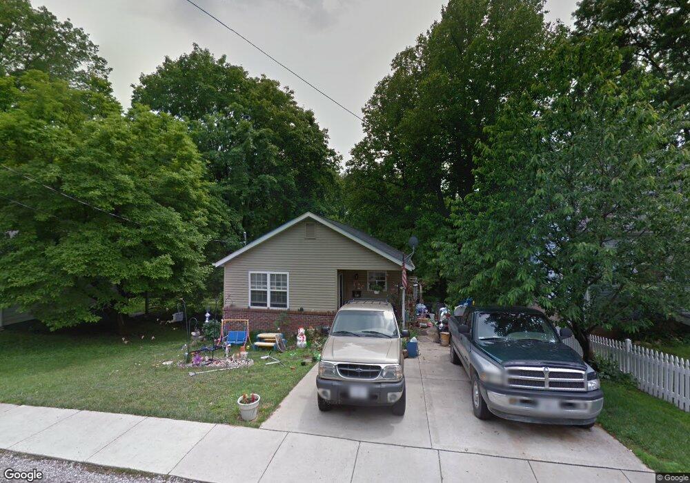
310 M St Edwardsville, IL 62025
Estimated Value: $193,000 - $239,000
4
Beds
2
Baths
1,263
Sq Ft
$173/Sq Ft
Est. Value
About This Home
This home is located at 310 M St, Edwardsville, IL 62025 and is currently estimated at $218,087, approximately $172 per square foot. 310 M St is a home located in Madison County with nearby schools including N.O. Nelson Elementary School, Woodland Elementary School, and Lincoln Middle School.
Ownership History
Date
Name
Owned For
Owner Type
Purchase Details
Closed on
Aug 25, 2017
Sold by
Lewis & Clark Habitat For Community
Bought by
Wilson Tyanne
Current Estimated Value
Purchase Details
Closed on
Feb 27, 2009
Sold by
Lewis & Clark Habitat For Humanity
Bought by
Denning Lisa and Denning Darran
Home Financials for this Owner
Home Financials are based on the most recent Mortgage that was taken out on this home.
Original Mortgage
$50,000
Interest Rate
5.22%
Mortgage Type
Seller Take Back
Purchase Details
Closed on
Feb 25, 2009
Sold by
City Of Edwardsville
Bought by
Lewis & Clark Habitat For Humanity
Home Financials for this Owner
Home Financials are based on the most recent Mortgage that was taken out on this home.
Original Mortgage
$50,000
Interest Rate
5.22%
Mortgage Type
Seller Take Back
Purchase Details
Closed on
May 15, 2008
Sold by
Vieth Steven L
Bought by
City Of Edwardsville
Create a Home Valuation Report for This Property
The Home Valuation Report is an in-depth analysis detailing your home's value as well as a comparison with similar homes in the area
Home Values in the Area
Average Home Value in this Area
Purchase History
| Date | Buyer | Sale Price | Title Company |
|---|---|---|---|
| Wilson Tyanne | -- | First American Title | |
| Denning Lisa | -- | None Available | |
| Lewis & Clark Habitat For Humanity | -- | None Available | |
| City Of Edwardsville | -- | None Available |
Source: Public Records
Mortgage History
| Date | Status | Borrower | Loan Amount |
|---|---|---|---|
| Previous Owner | Denning Lisa | $50,000 |
Source: Public Records
Tax History
| Year | Tax Paid | Tax Assessment Tax Assessment Total Assessment is a certain percentage of the fair market value that is determined by local assessors to be the total taxable value of land and additions on the property. | Land | Improvement |
|---|---|---|---|---|
| 2024 | $4,456 | $68,420 | $7,510 | $60,910 |
| 2023 | $4,456 | $63,490 | $6,970 | $56,520 |
| 2022 | $4,164 | $58,690 | $6,440 | $52,250 |
| 2021 | $3,695 | $55,700 | $6,110 | $49,590 |
| 2020 | $3,569 | $53,980 | $5,920 | $48,060 |
| 2019 | $3,540 | $53,080 | $5,820 | $47,260 |
| 2018 | $3,474 | $50,690 | $5,560 | $45,130 |
| 2017 | $3,374 | $49,620 | $5,440 | $44,180 |
| 2016 | $3,046 | $49,620 | $5,440 | $44,180 |
| 2015 | $2,897 | $45,990 | $5,040 | $40,950 |
| 2014 | $2,897 | $45,990 | $5,040 | $40,950 |
| 2013 | $2,897 | $45,990 | $5,040 | $40,950 |
Source: Public Records
Map
Nearby Homes
- 317 M St
- 324 M St
- 1407 Eberhart Ave
- 652 N Kansas St Unit 652-A
- 652 N Kansas St Unit 652-B
- 652 N Kansas St Unit 652-A & B
- 805 Kingshighway St
- 606 N Main St
- 911 Grand Ave
- 725 Randle St
- 215 Clay St
- 229 Commercial St
- 4506 Drda Ln
- 217 S Myrtle St
- 142 West St
- 4800 N State Route 159
- 300 S Charles St
- 5 Rock Hill Ct
- 232 S Main St
- 208 S Fillmore St
Your Personal Tour Guide
Ask me questions while you tour the home.