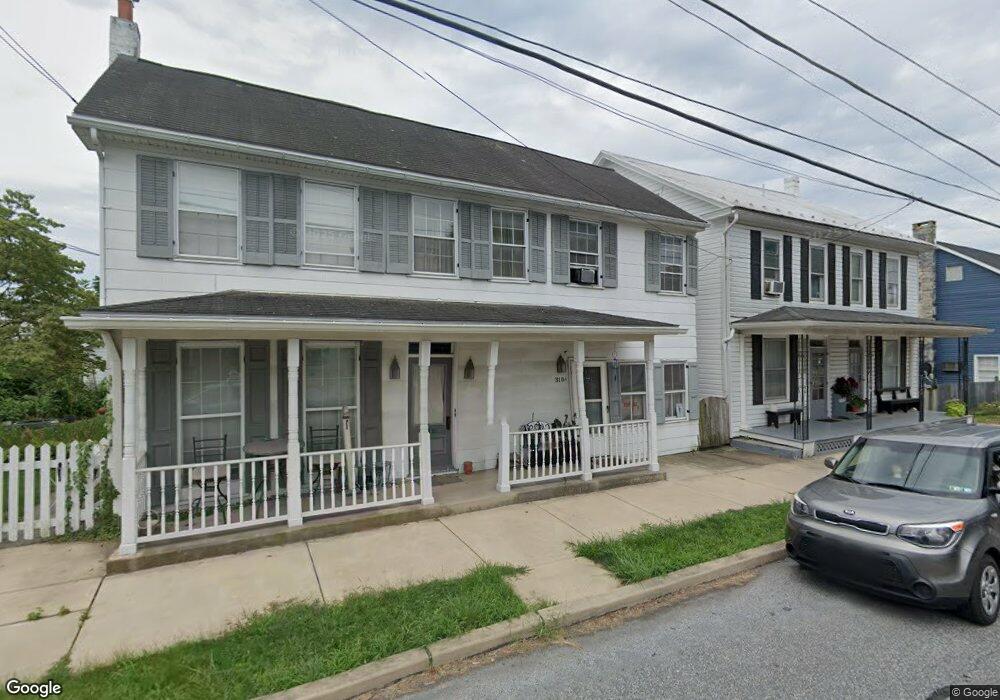
310 Main St Wellsville, PA 17365
Warrington Township NeighborhoodEstimated Value: $263,967 - $409,000
4
Beds
3
Baths
2,685
Sq Ft
$120/Sq Ft
Est. Value
About This Home
This home is located at 310 Main St, Wellsville, PA 17365 and is currently estimated at $322,242, approximately $120 per square foot. 310 Main St is a home located in York County with nearby schools including Northern Middle School and Northern High School.
Ownership History
Date
Name
Owned For
Owner Type
Purchase Details
Closed on
Jun 30, 2010
Sold by
Lauer John A and Lauer Anita Rae
Bought by
Bostdorf Lawrence E and Bostdorf Sharon E
Current Estimated Value
Home Financials for this Owner
Home Financials are based on the most recent Mortgage that was taken out on this home.
Original Mortgage
$163,500
Outstanding Balance
$109,513
Interest Rate
4.88%
Mortgage Type
New Conventional
Estimated Equity
$212,729
Purchase Details
Closed on
Sep 15, 1977
Bought by
Lauer John A and Anita Rae
Create a Home Valuation Report for This Property
The Home Valuation Report is an in-depth analysis detailing your home's value as well as a comparison with similar homes in the area
Home Values in the Area
Average Home Value in this Area
Purchase History
| Date | Buyer | Sale Price | Title Company |
|---|---|---|---|
| Bostdorf Lawrence E | $218,000 | Stewart Title Guaranty Co | |
| Lauer John A | $11,400 | -- |
Source: Public Records
Mortgage History
| Date | Status | Borrower | Loan Amount |
|---|---|---|---|
| Open | Bostdorf Lawrence E | $163,500 |
Source: Public Records
Tax History Compared to Growth
Tax History
| Year | Tax Paid | Tax Assessment Tax Assessment Total Assessment is a certain percentage of the fair market value that is determined by local assessors to be the total taxable value of land and additions on the property. | Land | Improvement |
|---|---|---|---|---|
| 2025 | $3,384 | $123,270 | $26,840 | $96,430 |
| 2024 | $3,348 | $123,270 | $26,840 | $96,430 |
| 2023 | $3,281 | $123,270 | $26,840 | $96,430 |
| 2022 | $3,212 | $123,270 | $26,840 | $96,430 |
| 2021 | $3,008 | $123,270 | $26,840 | $96,430 |
| 2020 | $2,933 | $123,270 | $26,840 | $96,430 |
| 2019 | $2,860 | $123,270 | $26,840 | $96,430 |
| 2018 | $2,799 | $123,270 | $26,840 | $96,430 |
| 2017 | $2,799 | $123,270 | $26,840 | $96,430 |
| 2016 | $0 | $123,270 | $26,840 | $96,430 |
| 2015 | -- | $123,270 | $26,840 | $96,430 |
| 2014 | -- | $123,270 | $26,840 | $96,430 |
Source: Public Records
Map
Nearby Homes
- Tract #1 Carlisle Rd
- 0 W Camping Area Rd
- 270 S Winding Rd
- 375 Mount Zion Rd
- 138 S Peiffer Rd
- 265 Pine Woods Rd
- 6691 Harmony Grove Rd
- 160 Myers Rd
- 22 Bentz Mill Rd
- 6520 Old Carlisle Rd
- 580 S Kralltown Rd
- 10 Hull Dr
- 480 Mount Airy Rd Unit 13
- 206 Bentz Mill Rd
- 1967 Pinetown Rd
- 6200 Old Carlisle Rd
- 2530 Sky Top Trail
- 329 Mount Airy Rd
- 107 Pickett Rd
- 5790 Carlisle Rd