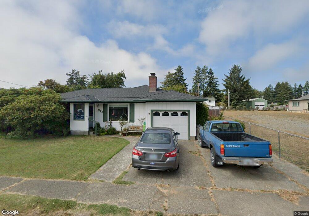
310 N Hazel St Brookings, OR 97415
Estimated Value: $414,630 - $500,000
3
Beds
2
Baths
1,437
Sq Ft
$318/Sq Ft
Est. Value
About This Home
This home is located at 310 N Hazel St, Brookings, OR 97415 and is currently estimated at $457,315, approximately $318 per square foot. 310 N Hazel St is a home located in Curry County with nearby schools including Kalmiopsis Elementary School, Azalea Middle School, and Brookings-Harbor High School.
Ownership History
Date
Name
Owned For
Owner Type
Purchase Details
Closed on
Oct 13, 2021
Sold by
Patton Margaret
Bought by
Patton Margaret M and The Margaret M Patton Living Trust
Current Estimated Value
Purchase Details
Closed on
Jul 14, 2011
Sold by
White John D
Bought by
Patton Margaret
Home Financials for this Owner
Home Financials are based on the most recent Mortgage that was taken out on this home.
Original Mortgage
$132,000
Outstanding Balance
$90,769
Interest Rate
4.5%
Mortgage Type
New Conventional
Estimated Equity
$366,546
Purchase Details
Closed on
Jul 23, 2009
Sold by
Gerstel Ewan M and Roach Gerstel Dorothy J
Bought by
White John D
Home Financials for this Owner
Home Financials are based on the most recent Mortgage that was taken out on this home.
Original Mortgage
$126,000
Interest Rate
5.31%
Mortgage Type
New Conventional
Create a Home Valuation Report for This Property
The Home Valuation Report is an in-depth analysis detailing your home's value as well as a comparison with similar homes in the area
Home Values in the Area
Average Home Value in this Area
Purchase History
| Date | Buyer | Sale Price | Title Company |
|---|---|---|---|
| Patton Margaret M | -- | None Available | |
| Patton Margaret | $165,000 | First American Title Co | |
| White John D | $216,000 | First American Title Co |
Source: Public Records
Mortgage History
| Date | Status | Borrower | Loan Amount |
|---|---|---|---|
| Open | Patton Margaret | $132,000 | |
| Previous Owner | White John D | $126,000 |
Source: Public Records
Tax History Compared to Growth
Tax History
| Year | Tax Paid | Tax Assessment Tax Assessment Total Assessment is a certain percentage of the fair market value that is determined by local assessors to be the total taxable value of land and additions on the property. | Land | Improvement |
|---|---|---|---|---|
| 2024 | $2,007 | $212,290 | -- | -- |
| 2023 | $1,829 | $193,440 | $0 | $0 |
| 2022 | $1,775 | $187,810 | -- | -- |
| 2021 | $1,724 | $182,340 | $0 | $0 |
| 2020 | $1,779 | $177,030 | $0 | $0 |
| 2019 | $1,634 | $171,880 | $0 | $0 |
| 2018 | $1,704 | $166,880 | $0 | $0 |
| 2017 | $1,641 | $166,880 | $0 | $0 |
| 2016 | $1,601 | $162,020 | $0 | $0 |
| 2015 | $1,514 | $157,310 | $0 | $0 |
| 2014 | $1,514 | $148,290 | $0 | $0 |
Source: Public Records
Map
Nearby Homes
- 311 Maple St
- 322 Del Norte Ln
- 204 Alder St
- 425 Railroad St
- 0 Riverview Unit 4 349468580
- 0000 Riverview Dr
- 0000 Riverview Dr Unit 6
- 0000 Riverview Dr Unit 7
- 301 Oxford St
- 570 Velopa Ct
- 104 Sea Cliff Terrace
- 108 Sea Cliff Terrace
- 388 Tanbark Rd
- 543 Spruce St
- 438 Buena Vista Loop
- 433 Pine St
- 205 N Bank Chetco River Rd
- 430 Pine St
- 19 Otter Terrace
- 7205 Edge Cliff Dr