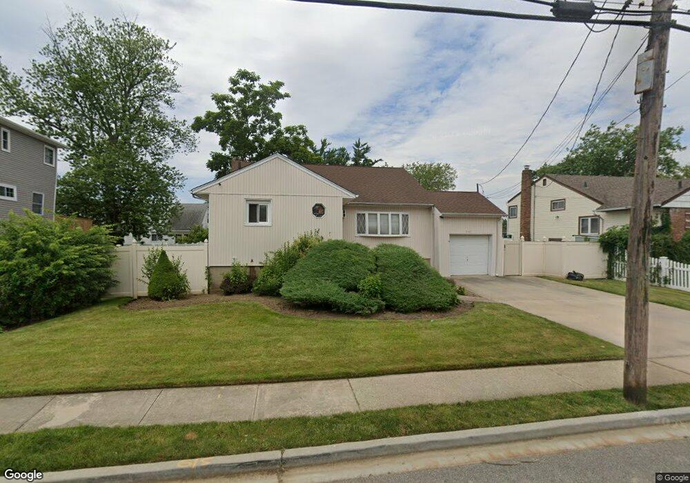
310 Nassau Ave Freeport, NY 11520
Estimated Value: $692,000 - $699,689
Studio
2
Baths
1,311
Sq Ft
$531/Sq Ft
Est. Value
About This Home
This home is located at 310 Nassau Ave, Freeport, NY 11520 and is currently estimated at $695,845, approximately $530 per square foot. 310 Nassau Ave is a home located in Nassau County with nearby schools including Columbus Avenue School, Caroline G. Atkinson Intermediate School, and John W Dodd Middle School.
Ownership History
Date
Name
Owned For
Owner Type
Purchase Details
Closed on
Mar 30, 2016
Sold by
Vaval Mario and Vaval Marie Gerda
Bought by
Etienne Vaval Gerda M
Current Estimated Value
Home Financials for this Owner
Home Financials are based on the most recent Mortgage that was taken out on this home.
Original Mortgage
$200,000
Outstanding Balance
$84,962
Interest Rate
2.96%
Estimated Equity
$610,883
Purchase Details
Closed on
Mar 3, 1999
Sold by
Zephir Nadine C
Bought by
Vaval Mario and Vaval Gerda
Create a Home Valuation Report for This Property
The Home Valuation Report is an in-depth analysis detailing your home's value as well as a comparison with similar homes in the area
Home Values in the Area
Average Home Value in this Area
Purchase History
| Date | Buyer | Sale Price | Title Company |
|---|---|---|---|
| Etienne Vaval Gerda M | -- | None Available | |
| Vaval Mario | $185,000 | -- |
Source: Public Records
Mortgage History
| Date | Status | Borrower | Loan Amount |
|---|---|---|---|
| Open | Etienne Vaval Gerda M | $200,000 |
Source: Public Records
Tax History
| Year | Tax Paid | Tax Assessment Tax Assessment Total Assessment is a certain percentage of the fair market value that is determined by local assessors to be the total taxable value of land and additions on the property. | Land | Improvement |
|---|---|---|---|---|
| 2025 | $9,207 | $427 | $190 | $237 |
| 2024 | $964 | $427 | $190 | $237 |
| 2023 | $9,551 | $427 | $190 | $237 |
| 2022 | $9,551 | $427 | $190 | $237 |
| 2021 | $14,510 | $409 | $182 | $227 |
| 2020 | $10,357 | $687 | $486 | $201 |
| 2019 | $10,110 | $687 | $486 | $201 |
| 2018 | $9,948 | $687 | $0 | $0 |
| 2017 | $8,268 | $687 | $486 | $201 |
| 2016 | $9,299 | $687 | $486 | $201 |
| 2015 | $992 | $687 | $486 | $201 |
| 2014 | $992 | $687 | $486 | $201 |
| 2013 | $938 | $687 | $486 | $201 |
Source: Public Records
Map
Nearby Homes
- 470 Miller Ave
- 744 S Long Beach Ave
- 292 Westside Ave
- 226 Westside Ave Unit B
- 587 Miller Ave
- 322 Miller Ave
- 16 Layton St
- 300 Branch Ave
- 310 Miller Ave
- 39 Layton St
- 494 S Ocean Ave Unit 1M
- 494 S Ocean Ave Unit 1H
- 494 S Ocean Ave Unit 3A
- 711 S Bayview Ave
- 766 Guy Lombardo Ave
- 587 S Bayview Ave
- 825 S Ocean Ave Unit 2
- 160 Saint Marks Ave
- 22 Wilshire Ct
- 572 S Bayview Ave
- 316 Nassau Ave
- 302 Nassau Ave
- 655 S Long Beach Ave
- 659 S Long Beach Ave
- 296 Nassau Ave
- 643 S Long Beach Ave
- 322 Nassau Ave
- 322 Nassau Ave
- 303 Nassau Ave
- 317 Nassau Ave
- 299 Nassau Ave
- 651 S Long Beach Ave
- 290 Nassau Ave
- 295 Nassau Ave
- 321 Nassau Ave
- 633 S Long Beach Ave
- 633 S Long Beach Ave
- 332 Nassau Ave
- 291 Nassau Ave
- 675 S Long Beach Ave
Your Personal Tour Guide
Ask me questions while you tour the home.