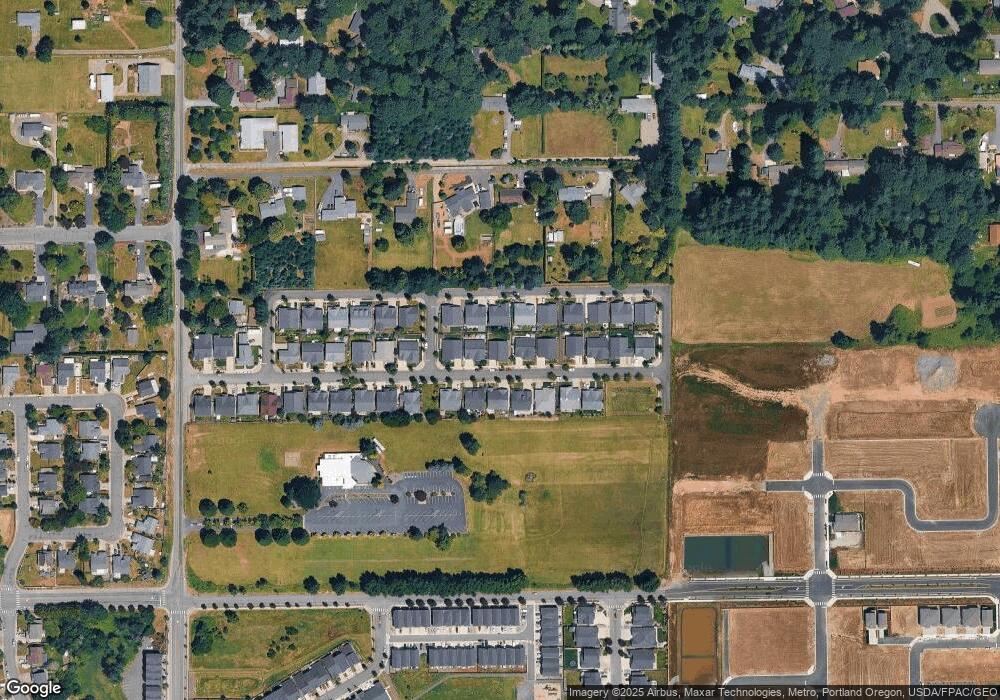
310 NE 17th St Unit 30 Battle Ground, WA 98604
Estimated Value: $565,062 - $604,000
3
Beds
2
Baths
1,865
Sq Ft
$313/Sq Ft
Est. Value
About This Home
This home is located at 310 NE 17th St Unit 30, Battle Ground, WA 98604 and is currently estimated at $583,516, approximately $312 per square foot. 310 NE 17th St Unit 30 is a home located in Clark County with nearby schools including Captain Strong Primary School, Chief Umtuch Middle School, and Battle Ground High School.
Ownership History
Date
Name
Owned For
Owner Type
Purchase Details
Closed on
Jul 4, 2020
Sold by
Ferguson Jordan A and Ferguson Rebecca D
Bought by
Southworth Brennan and Hamilton Larissa
Current Estimated Value
Home Financials for this Owner
Home Financials are based on the most recent Mortgage that was taken out on this home.
Original Mortgage
$391,400
Outstanding Balance
$347,068
Interest Rate
3.1%
Mortgage Type
New Conventional
Estimated Equity
$236,448
Purchase Details
Closed on
Jul 13, 2017
Sold by
Holt Distressed Property Fund 2010 Lp
Bought by
Ferguson Jordan A and Ferguson Rebecca D
Home Financials for this Owner
Home Financials are based on the most recent Mortgage that was taken out on this home.
Original Mortgage
$324,999
Interest Rate
3.75%
Mortgage Type
FHA
Create a Home Valuation Report for This Property
The Home Valuation Report is an in-depth analysis detailing your home's value as well as a comparison with similar homes in the area
Home Values in the Area
Average Home Value in this Area
Purchase History
| Date | Buyer | Sale Price | Title Company |
|---|---|---|---|
| Southworth Brennan | $412,000 | Wfg National Title Co | |
| Ferguson Jordan A | $354,900 | Clark County Title Company |
Source: Public Records
Mortgage History
| Date | Status | Borrower | Loan Amount |
|---|---|---|---|
| Open | Southworth Brennan | $391,400 | |
| Previous Owner | Ferguson Jordan A | $324,999 |
Source: Public Records
Tax History Compared to Growth
Tax History
| Year | Tax Paid | Tax Assessment Tax Assessment Total Assessment is a certain percentage of the fair market value that is determined by local assessors to be the total taxable value of land and additions on the property. | Land | Improvement |
|---|---|---|---|---|
| 2025 | $4,133 | $527,853 | $125,000 | $402,853 |
| 2024 | $3,691 | $507,009 | $125,000 | $382,009 |
| 2023 | $3,787 | $515,109 | $125,000 | $390,109 |
| 2022 | $4,003 | $481,812 | $102,750 | $379,062 |
| 2021 | $3,998 | $442,662 | $93,750 | $348,912 |
| 2020 | $3,294 | $405,454 | $86,250 | $319,204 |
| 2019 | $2,794 | $378,427 | $88,500 | $289,927 |
| 2018 | $3,373 | $375,705 | $0 | $0 |
| 2017 | $721 | $333,216 | $0 | $0 |
| 2016 | $727 | $77,220 | $0 | $0 |
| 2015 | $711 | $71,500 | $0 | $0 |
| 2014 | -- | $66,300 | $0 | $0 |
| 2013 | -- | $66,300 | $0 | $0 |
Source: Public Records
Map
Nearby Homes
- 2116 NE 5th Ave
- 2122 NE 5th Ave
- 2128 NE 5th Ave
- 2134 NE 5th Ave
- 123 NE 14th St
- 2121 NE 4th Ave
- 2127 NE 4th Ave
- 2125 NE 3rd Ave
- Spruce II Plan at Stonewood Haven II
- Sellwood Plan at Stonewood Haven II
- Berkshire Plan at Stonewood Haven II
- Hawthorne Plan at Stonewood Haven II
- Bachelor II Plan at Beverly
- Cypress II Plan at Beverly
- Ashland II Plan at Beverly
- Jefferson II Plan at Beverly
- Chimera Plan at Beverly
- Herring Plan at Beverly
- Sturgeon Plan at Beverly
- Baker Plan at Beverly
- 310 NE 17th St
- 314 NE 17th St Unit 31
- 314 NE 17th St
- 306 NE 17th St
- 306 NE 17th St Unit 29
- 311 NE 18th St
- 311 NE 18th St Unit 25
- 307 NE 18th St
- 307 NE 18th St Unit 26
- 307 NE 18th St
- 315 NE 18th St
- 315 NE 18th St
- 315 NE 18th St Unit 24
- 302 NE 17th St
- 302 NE 17th St Unit 28
- 318 NE 17th St Unit 32
- 318 NE 17th St
- 309 NE 17th St
- 309 NE 17th St Unit 13
- 313 NE 17th St
