310 Oak Branch Ct Unit 1A Alpharetta, GA 30004
Estimated Value: $1,353,000 - $1,791,000
5
Beds
5
Baths
5,038
Sq Ft
$302/Sq Ft
Est. Value
About This Home
This home is located at 310 Oak Branch Ct Unit 1A, Alpharetta, GA 30004 and is currently estimated at $1,522,256, approximately $302 per square foot. 310 Oak Branch Ct Unit 1A is a home located in Fulton County with nearby schools including Birmingham Falls Elementary School, Hopewell Middle School, and Cambridge High School.
Ownership History
Date
Name
Owned For
Owner Type
Purchase Details
Closed on
Aug 15, 2002
Sold by
Gogolin Enterprises Inc
Bought by
Robbie Andrew M and Robbie Linda A
Current Estimated Value
Home Financials for this Owner
Home Financials are based on the most recent Mortgage that was taken out on this home.
Original Mortgage
$450,000
Outstanding Balance
$190,145
Interest Rate
6.53%
Mortgage Type
New Conventional
Estimated Equity
$1,332,111
Create a Home Valuation Report for This Property
The Home Valuation Report is an in-depth analysis detailing your home's value as well as a comparison with similar homes in the area
Home Values in the Area
Average Home Value in this Area
Purchase History
| Date | Buyer | Sale Price | Title Company |
|---|---|---|---|
| Robbie Andrew M | $740,000 | -- |
Source: Public Records
Mortgage History
| Date | Status | Borrower | Loan Amount |
|---|---|---|---|
| Open | Robbie Andrew M | $450,000 |
Source: Public Records
Tax History Compared to Growth
Tax History
| Year | Tax Paid | Tax Assessment Tax Assessment Total Assessment is a certain percentage of the fair market value that is determined by local assessors to be the total taxable value of land and additions on the property. | Land | Improvement |
|---|---|---|---|---|
| 2025 | $1,540 | $596,960 | $219,160 | $377,800 |
| 2023 | $16,850 | $596,960 | $219,160 | $377,800 |
| 2022 | $6,881 | $308,200 | $98,280 | $209,920 |
| 2021 | $6,884 | $299,240 | $95,440 | $203,800 |
| 2020 | $7,196 | $318,240 | $54,680 | $263,560 |
| 2019 | $1,247 | $312,600 | $53,680 | $258,920 |
| 2018 | $8,275 | $305,280 | $52,440 | $252,840 |
| 2017 | $6,793 | $244,760 | $44,760 | $200,000 |
| 2016 | $6,792 | $244,760 | $44,760 | $200,000 |
| 2015 | $7,907 | $244,760 | $44,760 | $200,000 |
| 2014 | $6,808 | $234,840 | $42,200 | $192,640 |
Source: Public Records
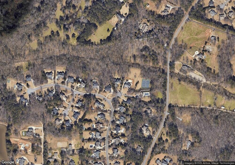
Map
Nearby Homes
- 705 Nettlebrook Ln
- 1530 Redd Rd
- 14200 Hopewell Rd
- 815 Brickwood Ln
- 14260 Phillips Cir
- 14250 Freemanville Rd
- 139200 Cowart Rd
- Lot 2 Cowart Rd
- LOT 2 13920 Cowart Rd
- 13890 Cowart Rd
- 360 Wigton Dr
- 13825 Cowart Rd
- 15040 Freemanville Rd
- 0 State Highway 9 Hwy Unit 10257856
- 0 NE Clan St Unit 7505718
- 225 Brock Trail Unit 2
- 225 Brock Trail
- 230 Brock Trail
- 230 Brock Trail Unit 5
- 235 Brock Trail
- 320 Oak Branch Ct
- 300 Oak Branch Ct
- 0 Oak Branch Ct Unit 7189016
- 0 Oak Branch Ct Unit 8782414
- 815 Nettlebrook Ln Unit 1B
- 305 Oak Branch Ct Unit 1A
- 785 Nettlebrook Ln
- 780 Nettlebrook Ln
- 825 Nettlebrook Ln
- 770 Nettlebrook Ln Unit 1A
- 775 Nettlebrook Ln
- 300 Sweet Gum Cir
- 14300 Thompson Rd
- 835 Nettlebrook Ln
- 835 Nettlebrook Ln Unit 1-B
- 760 Nettlebrook Ln Unit 1A
- 765 Nettlebrook Ln
- 310 Sweet Gum Cir
- 14290 Thompson Rd