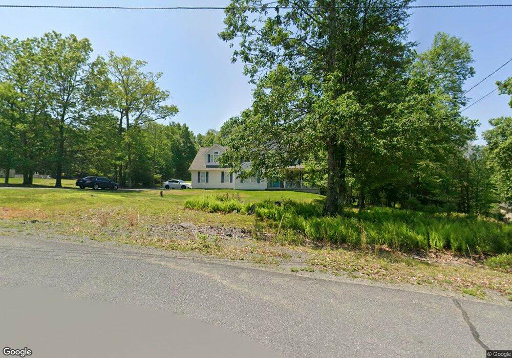
310 Pheasant Run East Stroudsburg, PA 18302
Estimated Value: $415,000 - $471,318
4
Beds
3
Baths
2,766
Sq Ft
$161/Sq Ft
Est. Value
About This Home
This home is located at 310 Pheasant Run, East Stroudsburg, PA 18302 and is currently estimated at $445,830, approximately $161 per square foot. 310 Pheasant Run is a home located in Monroe County with nearby schools including East Stroudsburg Elementary School, J.T. Lambert Intermediate School, and East Stroudsburg Senior High School South.
Ownership History
Date
Name
Owned For
Owner Type
Purchase Details
Closed on
Nov 10, 2005
Sold by
Kal Tac Inc
Bought by
Mcdonald Karem and Mcdonald Lucious
Current Estimated Value
Home Financials for this Owner
Home Financials are based on the most recent Mortgage that was taken out on this home.
Original Mortgage
$272,000
Outstanding Balance
$149,216
Interest Rate
6.06%
Mortgage Type
New Conventional
Estimated Equity
$296,614
Create a Home Valuation Report for This Property
The Home Valuation Report is an in-depth analysis detailing your home's value as well as a comparison with similar homes in the area
Home Values in the Area
Average Home Value in this Area
Purchase History
| Date | Buyer | Sale Price | Title Company |
|---|---|---|---|
| Mcdonald Karem | $340,000 | Gateway Abstract |
Source: Public Records
Mortgage History
| Date | Status | Borrower | Loan Amount |
|---|---|---|---|
| Open | Mcdonald Karem | $272,000 |
Source: Public Records
Tax History Compared to Growth
Tax History
| Year | Tax Paid | Tax Assessment Tax Assessment Total Assessment is a certain percentage of the fair market value that is determined by local assessors to be the total taxable value of land and additions on the property. | Land | Improvement |
|---|---|---|---|---|
| 2025 | $1,608 | $251,670 | $47,160 | $204,510 |
| 2024 | $1,230 | $251,670 | $47,160 | $204,510 |
| 2023 | $8,730 | $251,670 | $47,160 | $204,510 |
| 2022 | $8,850 | $251,670 | $47,160 | $204,510 |
| 2021 | $8,712 | $251,670 | $47,160 | $204,510 |
| 2020 | $8,408 | $251,670 | $47,160 | $204,510 |
| 2019 | $9,027 | $44,420 | $7,000 | $37,420 |
| 2018 | $9,027 | $44,420 | $7,000 | $37,420 |
| 2017 | $9,027 | $44,420 | $7,000 | $37,420 |
| 2016 | $8,600 | $44,420 | $7,000 | $37,420 |
| 2015 | -- | $44,420 | $7,000 | $37,420 |
| 2014 | -- | $44,420 | $7,000 | $37,420 |
Source: Public Records
Map
Nearby Homes
- 21 Deer Path
- 0 Deer Path
- Lot 31 & 32 Lenape Dr
- 84 Lenape Dr
- Lot18 Lenape Dr
- Lot 36 Lenape Dr
- Lot 17 Footprint Rd
- 0 Way
- 430 Indian Way
- 529 Highland Dr
- 0 Lenape Dr Unit Lot 31 & 32 763518
- 53 Barren Rd
- 28 Lenape Dr
- 0 Lace Dr 24 Dr
- 331 Wooddale Rd
- 492 Wooddale Rd
- 630 Wooddale Rd
- 0 Green Meadow Dr
- Lot 24 Green Meadow Dr
- 1136 Sierra Trail
- 308 Pheasant Run
- 312 Pheasant Run
- 35 Pheasant Run
- Lot 38 Pheasant Run
- 36 Pheasant Run
- 305 Pheasant Run
- 306 Pheasant Run
- 303 Pheasant Run
- 316 Pheasant Run
- 307 Pheasant Run
- 304 Pheasant Run
- 2038 Gorden Ridge Dr
- 2038 Gorden Ridge Dr
- 2036 Gorden Ridge Dr
- 318 Pheasant Run
- 2334 Southridge Dr
- 309 Pheasant Run
- 2034 Gorden Ridge Dr
- 302 Pheasant Run
- 302 Pheasant Run Aka 2336 S