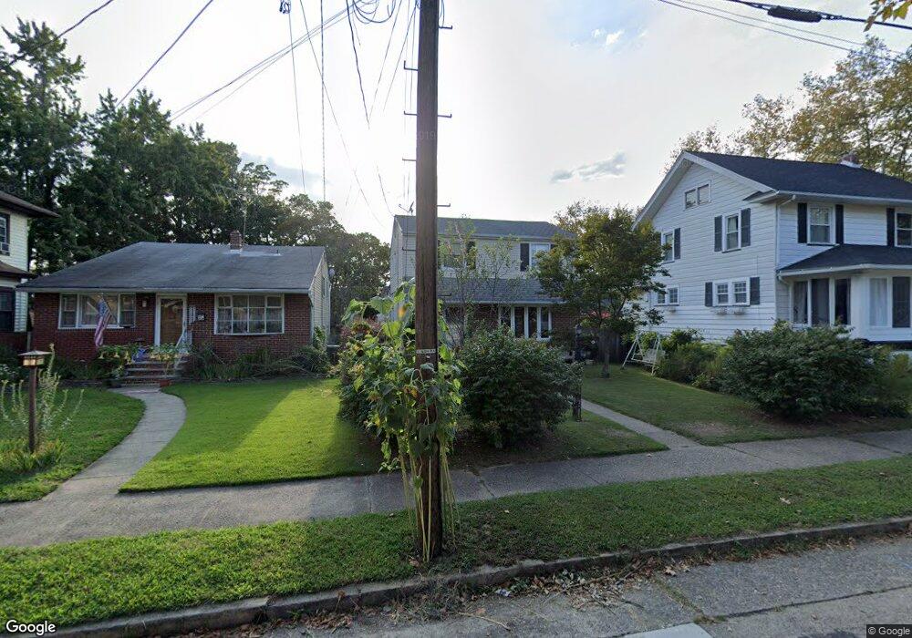
310 Poplar Ave Merchantville, NJ 08109
Estimated Value: $311,000 - $340,000
--
Bed
--
Bath
1,512
Sq Ft
$214/Sq Ft
Est. Value
About This Home
This home is located at 310 Poplar Ave, Merchantville, NJ 08109 and is currently estimated at $324,315, approximately $214 per square foot. 310 Poplar Ave is a home located in Camden County with nearby schools including Pennsauken High School, St. Peter Elementary School, and Camden Forward School.
Ownership History
Date
Name
Owned For
Owner Type
Purchase Details
Closed on
Dec 21, 2011
Sold by
Fischer Jennifer L and Maul Jennifer
Bought by
Fischer Jennifer L
Current Estimated Value
Home Financials for this Owner
Home Financials are based on the most recent Mortgage that was taken out on this home.
Original Mortgage
$125,000
Outstanding Balance
$85,467
Interest Rate
4%
Mortgage Type
Purchase Money Mortgage
Estimated Equity
$238,848
Purchase Details
Closed on
May 30, 2001
Sold by
Negron Regalda
Bought by
Maul Jennifer
Home Financials for this Owner
Home Financials are based on the most recent Mortgage that was taken out on this home.
Original Mortgage
$84,651
Interest Rate
7.15%
Mortgage Type
FHA
Create a Home Valuation Report for This Property
The Home Valuation Report is an in-depth analysis detailing your home's value as well as a comparison with similar homes in the area
Home Values in the Area
Average Home Value in this Area
Purchase History
| Date | Buyer | Sale Price | Title Company |
|---|---|---|---|
| Fischer Jennifer L | -- | -- | |
| Maul Jennifer | $86,000 | -- |
Source: Public Records
Mortgage History
| Date | Status | Borrower | Loan Amount |
|---|---|---|---|
| Open | Fischer Jennifer L | $125,000 | |
| Previous Owner | Maul Jennifer | $84,651 |
Source: Public Records
Tax History Compared to Growth
Tax History
| Year | Tax Paid | Tax Assessment Tax Assessment Total Assessment is a certain percentage of the fair market value that is determined by local assessors to be the total taxable value of land and additions on the property. | Land | Improvement |
|---|---|---|---|---|
| 2025 | $8,047 | $151,000 | $50,300 | $100,700 |
| 2024 | $7,660 | $151,000 | $50,300 | $100,700 |
| 2023 | $7,660 | $151,000 | $50,300 | $100,700 |
| 2022 | $7,336 | $151,000 | $50,300 | $100,700 |
| 2021 | $7,286 | $151,000 | $50,300 | $100,700 |
| 2020 | $7,144 | $151,000 | $50,300 | $100,700 |
| 2019 | $7,011 | $151,000 | $50,300 | $100,700 |
| 2018 | $6,677 | $151,000 | $50,300 | $100,700 |
| 2017 | $6,395 | $151,000 | $50,300 | $100,700 |
| 2016 | $6,102 | $151,000 | $50,300 | $100,700 |
| 2015 | $5,795 | $151,000 | $50,300 | $100,700 |
| 2014 | $5,584 | $151,000 | $50,300 | $100,700 |
Source: Public Records
Map
Nearby Homes
- 4817 Browning Rd
- 4749 Poplar Ave
- 4782 Lafayette Ave
- 4908 Laurel Ave
- 320 W Maple Ave
- 220 Volans St
- 4616 Woodland Ave
- 5131 Garfield Ave
- 3241 N 48th St
- 3619 Fremont Ave
- 2446 46th St
- 2404 42nd St
- 3300 Springfield Ave
- 4116 Burwood Ave
- 3733 Drexel Ave
- 2240 40th St
- 5532 Whitman Terrace
- 2232 42nd St
- 6402 Browning Rd
- 6324 Roosevelt Ave
- 320 Poplar Ave
- 320 Poplar Ave
- 300 Poplar Ave
- 215 W End Ave
- 4719 Poplar Ave
- 4725 Poplar Ave
- 212 Poplar Ave
- 213 W End Ave
- 213 W End Ave Unit B
- 4719 W End Ave
- 4705 W End Ave
- 4729 Poplar Ave
- 4727 W End Ave
- 4639 W End Ave
- 211 W End Ave
- 4735 Poplar Ave
- 4733 W End Ave
- 303 Poplar Ave
- 301 Poplar Ave
- 4631 W End Ave