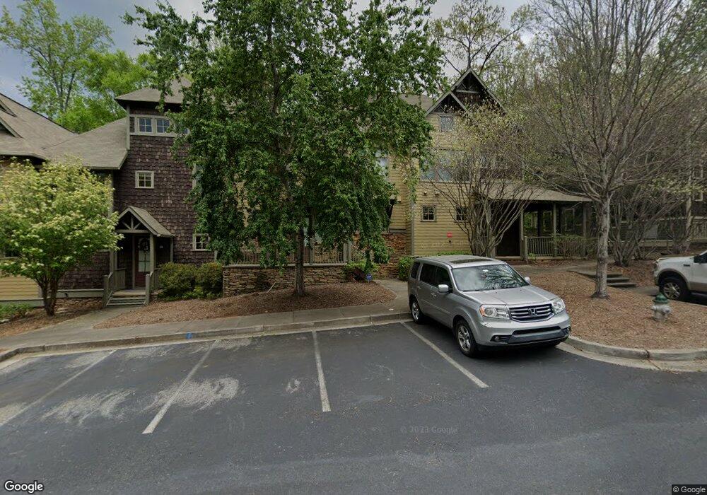
310 Research Dr Athens, GA 30605
Estimated Value: $341,418 - $386,000
--
Bed
2
Baths
1,770
Sq Ft
$201/Sq Ft
Est. Value
About This Home
This home is located at 310 Research Dr, Athens, GA 30605 and is currently estimated at $356,605, approximately $201 per square foot. 310 Research Dr is a home located in Clarke County with nearby schools including Barnett Shoals Elementary School, Hilsman Middle School, and Cedar Shoals High School.
Ownership History
Date
Name
Owned For
Owner Type
Purchase Details
Closed on
Sep 16, 2019
Sold by
Spmk X Ga Ii Llc
Bought by
Smith Kevin L and Smith Carmen L
Current Estimated Value
Purchase Details
Closed on
Feb 8, 2019
Sold by
Spmk Xiv Seasons Llc
Bought by
Spme X Ga Ii Llc
Purchase Details
Closed on
Dec 4, 2013
Sold by
Banksouth
Bought by
Spmk Xiv Seasons Llc
Purchase Details
Closed on
May 21, 2013
Sold by
The Seasons Partners Llc
Bought by
Banksouth
Purchase Details
Closed on
Jul 20, 2004
Sold by
Sams Group Inc The & The C C Development
Bought by
Seasons Partners Llc
Purchase Details
Closed on
Feb 6, 2004
Sold by
Galis-Vandiver Development Co
Bought by
Sams Group Inc The & The C C Development
Create a Home Valuation Report for This Property
The Home Valuation Report is an in-depth analysis detailing your home's value as well as a comparison with similar homes in the area
Home Values in the Area
Average Home Value in this Area
Purchase History
| Date | Buyer | Sale Price | Title Company |
|---|---|---|---|
| Smith Kevin L | $210,000 | -- | |
| Spme X Ga Ii Llc | -- | -- | |
| Spmk Xiv Seasons Llc | $3,715,000 | -- | |
| Banksouth | -- | -- | |
| Banksouth | -- | -- | |
| Seasons Partners Llc | -- | -- | |
| Sams Group Inc The & The C C Development | $440,000 | -- |
Source: Public Records
Tax History Compared to Growth
Tax History
| Year | Tax Paid | Tax Assessment Tax Assessment Total Assessment is a certain percentage of the fair market value that is determined by local assessors to be the total taxable value of land and additions on the property. | Land | Improvement |
|---|---|---|---|---|
| 2024 | $4,123 | $129,561 | $16,000 | $113,561 |
| 2023 | $4,049 | $116,241 | $16,000 | $100,241 |
| 2022 | $3,109 | $97,474 | $16,000 | $81,474 |
| 2021 | $2,932 | $87,003 | $16,000 | $71,003 |
| 2020 | $2,828 | $83,902 | $16,000 | $67,902 |
| 2019 | $2,647 | $77,970 | $16,500 | $61,470 |
| 2018 | $2,173 | $64,000 | $16,500 | $47,500 |
| 2017 | $2,173 | $64,000 | $16,500 | $47,500 |
| 2016 | $2,173 | $64,000 | $16,500 | $47,500 |
| 2015 | $2,054 | $60,400 | $16,500 | $43,900 |
| 2014 | $1,874 | $62,000 | $17,600 | $44,400 |
Source: Public Records
Map
Nearby Homes
- 310 Research Dr Unit 201
- 310 Research Dr Unit 802
- 310 Research Dr Unit 602
- 1138 Barnett Shoals Rd
- 411 College Cir
- 1025 College Station Rd
- 1029 College Station Rd
- 1035 Barnett Shoals Rd Unit 1227
- 1035 Barnett Shoals Rd Unit 313
- 1035 Barnett Shoals Rd Unit 1240
- 1035 Barnett Shoals Rd Unit 913
- 1035 Barnett Shoals Rd Unit 713
- 1035 Barnett Shoals Rd Unit 223
- 1035 Barnett Shoals Rd Unit 621
- 1067 College Station Rd
- 310 Research Dr Unit 703
- 310 Research Dr Unit 1004
- 310 Research Dr Unit 601
- 310 Research Dr Unit 503
- 310 Research Dr Unit 302
- 310 Research Dr Unit 504
- 310 Research Dr Unit 1001
- 310 Research Dr Unit 101
- 310 Research Dr Unit 102
- 310 Research Dr Unit 401
- 310 Research Dr
- 310 Research Dr Unit 405
- 310 Research Dr Unit 902
- 310 Research Dr
- 310 Research Dr
- 310 Research Dr
- 310 Research Dr
- 310 Research Dr
- 310 Research Dr
- 310 Research Dr