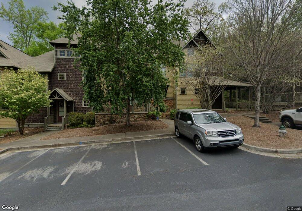
310 Research Dr Athens, GA 30605
Estimated Value: $324,184 - $364,000
Studio
2
Baths
1,520
Sq Ft
$226/Sq Ft
Est. Value
About This Home
This home is located at 310 Research Dr, Athens, GA 30605 and is currently estimated at $343,296, approximately $225 per square foot. 310 Research Dr is a home located in Clarke County with nearby schools including Barnett Shoals Elementary School, Hilsman Middle School, and Cedar Shoals High School.
Ownership History
Date
Name
Owned For
Owner Type
Purchase Details
Closed on
May 20, 2020
Sold by
Eggers Robert Eugene
Bought by
Rah Dev Llc
Current Estimated Value
Home Financials for this Owner
Home Financials are based on the most recent Mortgage that was taken out on this home.
Original Mortgage
$182,750
Outstanding Balance
$86,582
Interest Rate
3.3%
Mortgage Type
Commercial
Estimated Equity
$256,714
Purchase Details
Closed on
Jul 31, 2019
Sold by
White Emily M
Bought by
Eggers Rpbert Eugene and King Cassandra Ann
Home Financials for this Owner
Home Financials are based on the most recent Mortgage that was taken out on this home.
Original Mortgage
$159,200
Interest Rate
3.7%
Mortgage Type
New Conventional
Purchase Details
Closed on
Sep 28, 2007
Sold by
Not Provided
Bought by
White Emily M
Purchase Details
Closed on
Jul 20, 2004
Sold by
Sams Group Inc The & The C C Development
Bought by
Seasons Partners Llc
Purchase Details
Closed on
Feb 6, 2004
Sold by
Galis-Vandiver Development Co
Bought by
Sams Group Inc The & The C C Development
Create a Home Valuation Report for This Property
The Home Valuation Report is an in-depth analysis detailing your home's value as well as a comparison with similar homes in the area
Purchase History
| Date | Buyer | Sale Price | Title Company |
|---|---|---|---|
| Rah Dev Llc | $225,000 | -- | |
| Eggers Rpbert Eugene | $199,000 | -- | |
| White Emily M | $221,900 | -- | |
| Seasons Partners Llc | -- | -- | |
| Sams Group Inc The & The C C Development | $440,000 | -- |
Source: Public Records
Mortgage History
| Date | Status | Borrower | Loan Amount |
|---|---|---|---|
| Open | Rah Dev Llc | $182,750 | |
| Previous Owner | Eggers Rpbert Eugene | $159,200 |
Source: Public Records
Tax History
| Year | Tax Paid | Tax Assessment Tax Assessment Total Assessment is a certain percentage of the fair market value that is determined by local assessors to be the total taxable value of land and additions on the property. | Land | Improvement |
|---|---|---|---|---|
| 2025 | $4,119 | $132,665 | $16,000 | $116,665 |
| 2024 | $4,119 | $129,494 | $16,000 | $113,494 |
| 2023 | $4,047 | $112,829 | $16,000 | $96,829 |
| 2022 | $3,063 | $96,014 | $16,000 | $80,014 |
| 2021 | $2,896 | $85,938 | $16,000 | $69,938 |
| 2020 | $2,595 | $77,017 | $16,000 | $61,017 |
| 2019 | $2,414 | $71,098 | $15,000 | $56,098 |
| 2018 | $2,097 | $61,774 | $15,000 | $46,774 |
| 2017 | $0 | $62,282 | $15,000 | $47,282 |
| 2016 | $2,132 | $62,790 | $15,000 | $47,790 |
| 2015 | $2,152 | $63,298 | $15,000 | $48,298 |
| 2014 | $2,217 | $65,107 | $16,000 | $49,107 |
Source: Public Records
Map
Nearby Homes
- 345 Research Dr Unit 440
- 345 Research Dr Unit 220
- 206 College Cir
- 411 College Cir
- 431 College Cir
- 1035 Barnett Shoals #911 Rd Unit 911
- 1035 Barnett Shoals Rd Unit 461
- 1035 Barnett Shoals Rd Unit 313
- 1035 Barnett Shoals Rd Unit 725
- 1035 Barnett Shoals Rd Unit 526
- 1035 Barnett Shoals Rd Unit 1025
- 1035 Barnett Shoals Rd Unit 1231
- 1035 Barnett Shoals Rd Unit 827
- 1035 Barnett Shoals Rd Unit 223
- 1035 Barnett Shoals Rd Unit 913
- 1035 Barnett Shoals Rd Unit 125
- 1055 College Station Rd
- 29 N Stratford Dr
- 42 N Stratford Dr
- 110 Vista Dr
- 310 Research Dr Unit 703
- 310 Research Dr Unit 1004
- 310 Research Dr Unit 601
- 310 Research Dr Unit 503
- 310 Research Dr Unit 302
- 310 Research Dr Unit 504
- 310 Research Dr Unit 1001
- 310 Research Dr Unit 101
- 310 Research Dr Unit 102
- 310 Research Dr Unit 401
- 310 Research Dr
- 310 Research Dr Unit 405
- 310 Research Dr Unit 902
- 310 Research Dr
- 310 Research Dr
- 310 Research Dr
- 310 Research Dr
- 310 Research Dr
- 310 Research Dr
- 310 Research Dr
Your Personal Tour Guide
Ask me questions while you tour the home.