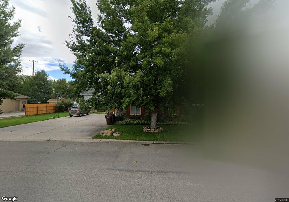
310 Riverbend Dr Mountain View, WY 82939
Estimated Value: $448,000 - $523,097
5
Beds
4
Baths
2,292
Sq Ft
$210/Sq Ft
Est. Value
About This Home
This home is located at 310 Riverbend Dr, Mountain View, WY 82939 and is currently estimated at $480,774, approximately $209 per square foot. 310 Riverbend Dr is a home with nearby schools including Mountain View K-8 and Mountain View High School.
Ownership History
Date
Name
Owned For
Owner Type
Purchase Details
Closed on
Jul 3, 2013
Sold by
Gunter Jerry Lynn and Gunter Debra Ann
Bought by
Goates Michael D and Goates Kristin S
Current Estimated Value
Home Financials for this Owner
Home Financials are based on the most recent Mortgage that was taken out on this home.
Original Mortgage
$216,015
Outstanding Balance
$158,395
Interest Rate
4.12%
Mortgage Type
FHA
Estimated Equity
$322,379
Purchase Details
Closed on
Jun 2, 2010
Sold by
Gunter Jerry L
Bought by
Gunter Jerry Lynn and Gunter Debra Ann
Create a Home Valuation Report for This Property
The Home Valuation Report is an in-depth analysis detailing your home's value as well as a comparison with similar homes in the area
Purchase History
| Date | Buyer | Sale Price | Title Company |
|---|---|---|---|
| Goates Michael D | -- | None Available | |
| Gunter Jerry Lynn | -- | None Available |
Source: Public Records
Mortgage History
| Date | Status | Borrower | Loan Amount |
|---|---|---|---|
| Open | Goates Michael D | $216,015 |
Source: Public Records
Tax History
| Year | Tax Paid | Tax Assessment Tax Assessment Total Assessment is a certain percentage of the fair market value that is determined by local assessors to be the total taxable value of land and additions on the property. | Land | Improvement |
|---|---|---|---|---|
| 2025 | $2,968 | $33,476 | $4,225 | $29,251 |
| 2024 | $2,968 | $42,919 | $5,417 | $37,502 |
| 2023 | $3,276 | $47,589 | $4,256 | $43,333 |
| 2022 | $2,885 | $41,772 | $3,851 | $37,921 |
| 2021 | $2,621 | $37,618 | $3,851 | $33,767 |
| 2020 | $2,491 | $36,031 | $3,851 | $32,180 |
| 2019 | $2,383 | $34,788 | $3,851 | $30,937 |
| 2018 | $511 | $34,387 | $4,512 | $29,875 |
| 2017 | $2,095 | $30,392 | $4,740 | $25,652 |
| 2016 | $1,916 | $27,765 | $3,993 | $23,772 |
| 2015 | -- | $29,849 | $3,587 | $26,262 |
| 2014 | -- | $26,630 | $0 | $0 |
Source: Public Records
Map
Nearby Homes
- 42 Valley
- 550 Evergreen Dr
- 116 3rd St
- 367 7th St
- 130 Buckboard Dr
- 840 Willow Dr
- 0 Crazy Ate Lot 2 Unit 20224213
- 36 Hawthorne St
- 325 Ponderosa Place
- 37 County Road 269
- 1546 Cr 218
- 0 Bus Loop I-80
- 237 Tipperary Rd
- 3527 County Road 253
- 1506 Center Dr
- 612 W Willow St
- 203 S Wall Ct
- 140 Connors Way
- 104 S Tiara St
- 0 Wyoming 414
- 302 River Bend Dr
- 315 Riverbend Dr
- 286 Riverbend Dr
- 265 Riverbend Dr
- 265 Forest Place
- 338 Riverbend Dr
- 250 Forrest Place Unit P.O. Box 541
- 250 Forrest Place
- 245 Forest Place
- 230 Forest Place
- 344 Riverbend Dr
- 235 River Bend Dr
- 235 Riverbend Dr
- 344 River Bend Dr
- 352 Riverbend Dr
- 5832 Highway 410
- 5967 Highway 410
- 217 Forest Place
- 330 Riverbend Dr
- 358 Riverbend Dr
Your Personal Tour Guide
Ask me questions while you tour the home.