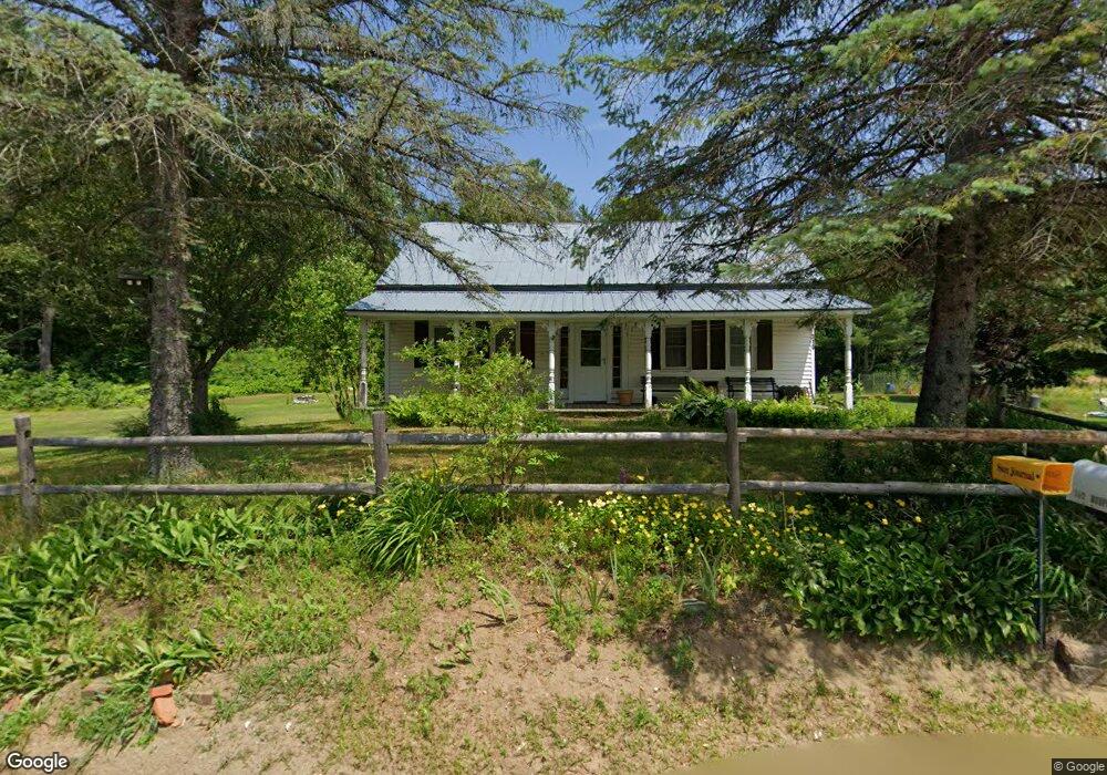
310 Route 232 Bryant Pond, ME 04219
Estimated Value: $178,114 - $499,000
--
Bed
--
Bath
864
Sq Ft
$328/Sq Ft
Est. Value
About This Home
This home is located at 310 Route 232, Bryant Pond, ME 04219 and is currently estimated at $283,029, approximately $327 per square foot. 310 Route 232 is a home located in Oxford County with nearby schools including Telstar Middle School and Telstar High School.
Ownership History
Date
Name
Owned For
Owner Type
Purchase Details
Closed on
Jun 19, 2024
Sold by
Keene Juanita L and Keene Vance T
Bought by
Korhonen Bruce M
Current Estimated Value
Purchase Details
Closed on
Apr 16, 2013
Sold by
Korhonen Bruce M
Bought by
Keene Vance T and Keene Juanita L
Home Financials for this Owner
Home Financials are based on the most recent Mortgage that was taken out on this home.
Original Mortgage
$75,000
Interest Rate
3.55%
Mortgage Type
New Conventional
Create a Home Valuation Report for This Property
The Home Valuation Report is an in-depth analysis detailing your home's value as well as a comparison with similar homes in the area
Home Values in the Area
Average Home Value in this Area
Purchase History
| Date | Buyer | Sale Price | Title Company |
|---|---|---|---|
| Korhonen Bruce M | -- | None Available | |
| Korhonen Bruce M | -- | None Available | |
| Keene Vance T | -- | -- | |
| Keene Vance T | -- | -- |
Source: Public Records
Mortgage History
| Date | Status | Borrower | Loan Amount |
|---|---|---|---|
| Previous Owner | Keene Vance T | $75,000 |
Source: Public Records
Tax History Compared to Growth
Tax History
| Year | Tax Paid | Tax Assessment Tax Assessment Total Assessment is a certain percentage of the fair market value that is determined by local assessors to be the total taxable value of land and additions on the property. | Land | Improvement |
|---|---|---|---|---|
| 2024 | $1,533 | $96,717 | $28,230 | $68,487 |
| 2023 | $1,388 | $96,717 | $28,230 | $68,487 |
| 2022 | $1,369 | $96,717 | $28,230 | $68,487 |
| 2021 | $1,306 | $96,717 | $28,230 | $68,487 |
| 2020 | $1,218 | $96,717 | $28,230 | $68,487 |
| 2019 | $1,262 | $96,717 | $28,230 | $68,487 |
| 2018 | $1,234 | $96,417 | $28,230 | $68,187 |
| 2017 | $1,234 | $96,417 | $28,230 | $68,187 |
| 2016 | $1,255 | $98,031 | $29,730 | $68,301 |
| 2015 | $1,245 | $98,031 | $29,730 | $68,301 |
| 2014 | $1,171 | $98,031 | $29,730 | $68,301 |
Source: Public Records
Map
Nearby Homes
- 145 Heaven's Splendor Dr
- 20 Maine 232
- 0 N Main St
- 74 Oak Hill Dr
- 65 Church St
- 309 Cushman Rd
- 175 Acorn Dr
- 29 Lakeview Ln
- Lot 6 Highland Ave
- 160 Fuller Hill Rd
- Lot 62 Bird Hill Rd
- 344 Bird Hill Rd
- 34 Log Cabin Ln
- R13-023-B Hobbs Rd
- Lot 2 Roger Farnum Rd
- 64 Black Brook Rd
- 18 Beech Ln
- 64 Outlook Rd
- Lot# 55 Arline's Way
- 219 Outlook Rd
- 310 Route 232
- 294 Route 232
- 309 Route 232
- 288 Route 232
- 333 Maine 232
- 338 Route 232
- 406 Rumford Ave
- 348 Route 232
- 284 Route 232
- 411 Rumford Ave
- 280 Route 232
- 12 Billings Hill Rd
- 358 Route 232
- 255 Maine 232
- 22 Billings Hill Rd
- Lot 38-6 Billings Hill Rd
- 0 Billings Hill Road Milton
- 0 Billings Hill Rd
- 0 Billings Hill
- 359 Rumford Ave