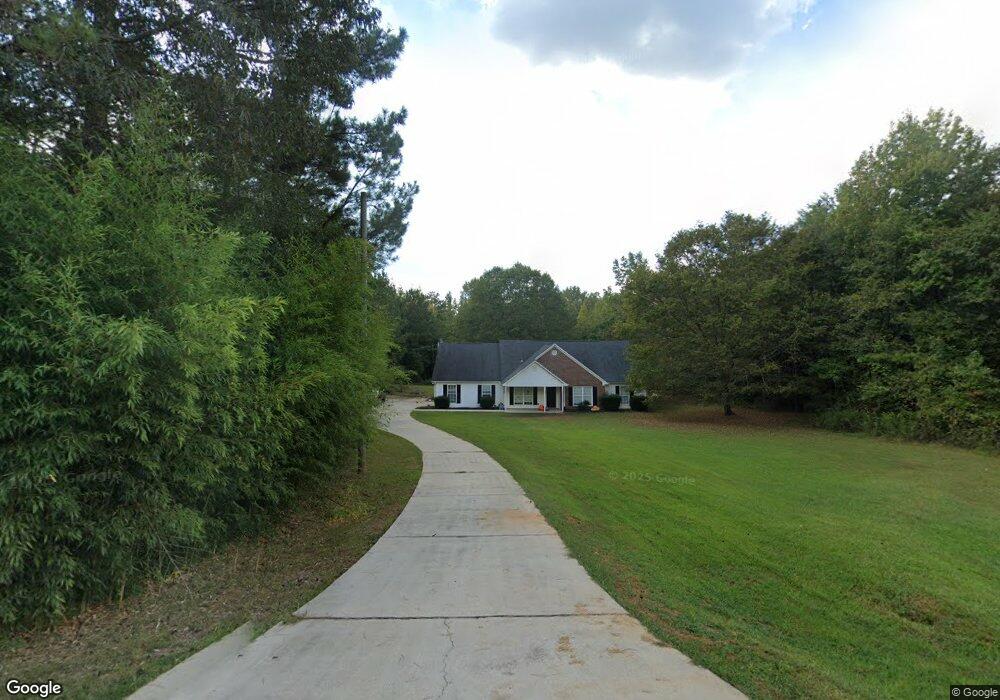
310 Roy North Rd Carrollton, GA 30117
Estimated Value: $404,000 - $436,116
3
Beds
2
Baths
3,328
Sq Ft
$126/Sq Ft
Est. Value
About This Home
This home is located at 310 Roy North Rd, Carrollton, GA 30117 and is currently estimated at $419,779, approximately $126 per square foot. 310 Roy North Rd is a home located in Carroll County with nearby schools including Central Elementary School, Central Middle School, and Central High School.
Ownership History
Date
Name
Owned For
Owner Type
Purchase Details
Closed on
Jul 7, 2025
Sold by
Lsf9 Master Participation Trust
Bought by
Laurent Christopher
Current Estimated Value
Purchase Details
Closed on
Dec 6, 2016
Sold by
Jones-Byrd April
Bought by
Us Bank Trust Na Trustee
Purchase Details
Closed on
Jun 28, 2002
Sold by
Byrd April J
Bought by
Byrd April J and Byrd Leney
Purchase Details
Closed on
Aug 28, 2001
Sold by
Jones Bunice
Bought by
Byrd April J
Create a Home Valuation Report for This Property
The Home Valuation Report is an in-depth analysis detailing your home's value as well as a comparison with similar homes in the area
Home Values in the Area
Average Home Value in this Area
Purchase History
| Date | Buyer | Sale Price | Title Company |
|---|---|---|---|
| Laurent Christopher | $405,000 | -- | |
| Us Bank Trust Na Trustee | $234,000 | -- | |
| Byrd April J | -- | -- | |
| Byrd April J | -- | -- |
Source: Public Records
Tax History Compared to Growth
Tax History
| Year | Tax Paid | Tax Assessment Tax Assessment Total Assessment is a certain percentage of the fair market value that is determined by local assessors to be the total taxable value of land and additions on the property. | Land | Improvement |
|---|---|---|---|---|
| 2024 | $3,719 | $164,406 | $10,670 | $153,736 |
| 2023 | $4,123 | $164,002 | $11,290 | $152,712 |
| 2022 | $3,260 | $129,992 | $7,526 | $122,466 |
| 2021 | $2,840 | $110,759 | $6,021 | $104,738 |
| 2020 | $2,510 | $97,788 | $5,474 | $92,314 |
| 2019 | $2,318 | $89,575 | $5,474 | $84,101 |
| 2018 | $2,119 | $80,686 | $3,370 | $77,316 |
| 2017 | $2,125 | $80,686 | $3,370 | $77,316 |
| 2016 | $2,126 | $80,686 | $3,370 | $77,316 |
| 2015 | $1,477 | $56,831 | $5,177 | $51,654 |
| 2014 | $1,484 | $56,831 | $5,177 | $51,654 |
Source: Public Records
Map
Nearby Homes
- 2214 Hays Mill Rd
- 915 Oak Grove Rd
- 1585 Hays Mill Rd
- 533 Buffalo Creek Rd
- 0 Buffalo Creek Rd Unit 10624169
- 2492 Oak Grove Church Rd
- 1250 Hays Mill Rd
- 400 Stripling Chapel Rd
- 105 Woodbine Dr
- 345 Piney Grove Rd
- 121 Carson Place
- 135 Gray Rd
- 0 Bonner Rd Unit 10635754
- 116 Manor Way
- 315 Laurel Rd
- 111 Vineyard Walk
- 111 Vineyard Walk Unit LOT 78
- 113 Vineyard Walk
- 2085 Hays Mill Rd
- 315 Roy North Rd
- 2018 Hays Mill Rd
- 2041 Hays Mill Rd
- 366 Roy North Rd
- 650 Buffalo Creek Rd
- 680 Buffalo Creek Rd
- 2056 Hays Mill Rd
- 2002 Hays Mill Rd
- 210 Roy North Rd
- 367 Roy North Rd
- 1972 Hays Mill Rd
- 2082 Hays Mill Rd
- 0 Roy Rd N Unit 10269342
- 0 Roy Rd N Unit 7354323
- 0 Roy Rd N Unit 7409748
- 0 Roy Rd N Unit 8727767
- 0 Roy Rd N Unit 8114312
- 0 Roy Rd N Unit 7225603
- 202 Roy North Rd