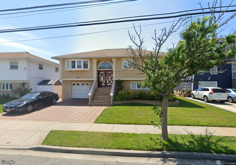
310 S Brookside Ave Freeport, NY 11520
Estimated Value: $633,000 - $785,000
4
Beds
2
Baths
1,226
Sq Ft
$589/Sq Ft
Est. Value
About This Home
This home is located at 310 S Brookside Ave, Freeport, NY 11520 and is currently estimated at $721,946, approximately $588 per square foot. 310 S Brookside Ave is a home located in Nassau County with nearby schools including Caroline G. Atkinson Intermediate School, Columbus Avenue School, and John W Dodd Middle School.
Ownership History
Date
Name
Owned For
Owner Type
Purchase Details
Closed on
Dec 22, 2010
Sold by
Jackson Glenn
Bought by
Jackson Phyllis H and Boothe Shion
Current Estimated Value
Home Financials for this Owner
Home Financials are based on the most recent Mortgage that was taken out on this home.
Original Mortgage
$351,360
Interest Rate
5.25%
Mortgage Type
FHA
Create a Home Valuation Report for This Property
The Home Valuation Report is an in-depth analysis detailing your home's value as well as a comparison with similar homes in the area
Home Values in the Area
Average Home Value in this Area
Purchase History
| Date | Buyer | Sale Price | Title Company |
|---|---|---|---|
| Jackson Phyllis H | $360,500 | -- |
Source: Public Records
Mortgage History
| Date | Status | Borrower | Loan Amount |
|---|---|---|---|
| Previous Owner | Jackson Phyllis H | $351,360 |
Source: Public Records
Tax History
| Year | Tax Paid | Tax Assessment Tax Assessment Total Assessment is a certain percentage of the fair market value that is determined by local assessors to be the total taxable value of land and additions on the property. | Land | Improvement |
|---|---|---|---|---|
| 2025 | $10,522 | $488 | $147 | $341 |
| 2024 | $1,106 | $488 | $147 | $341 |
Source: Public Records
Map
Nearby Homes
- 557 Southside Ave
- 306 Park Ave
- 2676 Johnson Place Unit 2674
- 254 Park Ave
- 1028 Thomas Ave
- 311 Park Ave
- 230 Park Ave
- 2864 Eastern Blvd
- 6 Elliott Place
- 268 Locust Ave
- 172 Juanita Ave
- 2632 Central Ave
- 5 Church St
- 156 Juanita Ave
- 525 Ray St
- 116 Westend Ave Unit 8
- 2842 Dahlia Ave
- 2758 Harvard Place
- 2933 Tulip Ave
- 31 Anchor St Unit Y
- 314 S Brookside Ave
- 306 S Brookside Ave
- 298 S Brookside Ave
- 320 S Brookside Ave
- 557 Archer St
- 555 Archer St
- 296 S Brookside Ave
- 558 Archer St
- 324 S Brookside Ave
- 323 S Brookside Ave
- 554 Archer St
- 327 S Brookside Ave
- 294 S Brookside Ave
- 551 Archer St
- 552 Archer St
- 299 S Brookside Ave
- 541 Archer St
- 68 Morton Ave
- 332 S Brookside Ave
Your Personal Tour Guide
Ask me questions while you tour the home.