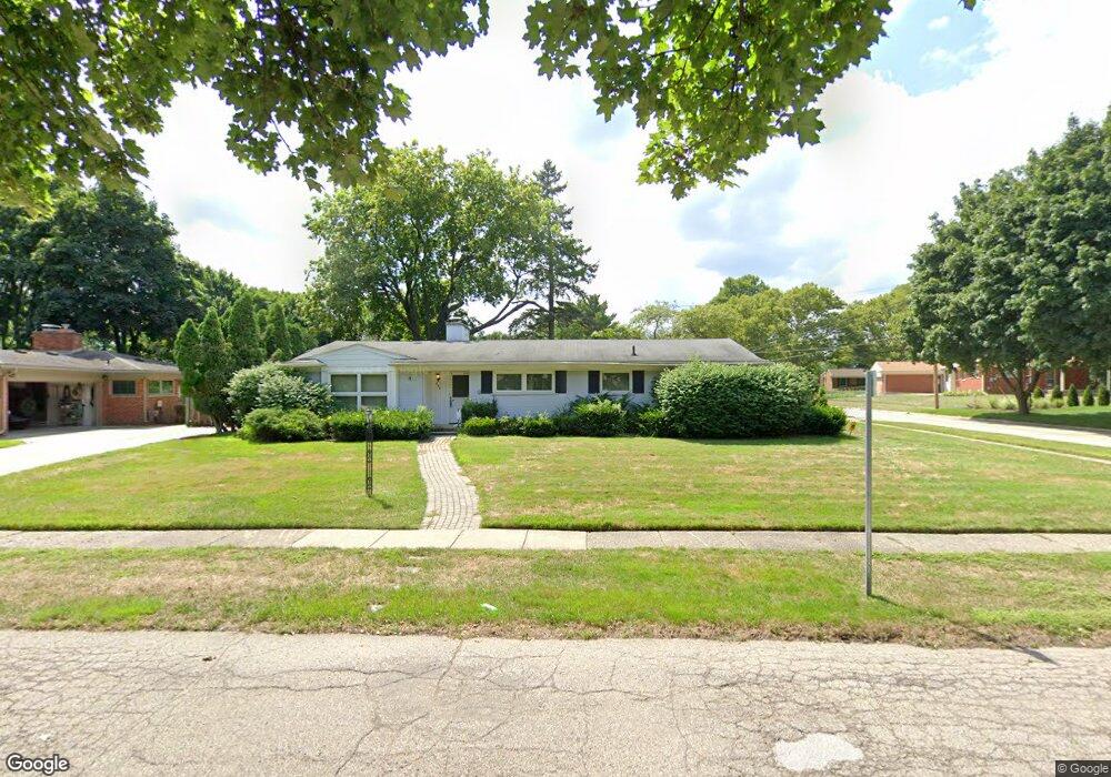
310 S Glengarry Rd Bloomfield Hills, MI 48301
Estimated Value: $482,000 - $684,075
3
Beds
3
Baths
1,559
Sq Ft
$368/Sq Ft
Est. Value
About This Home
This home is located at 310 S Glengarry Rd, Bloomfield Hills, MI 48301 and is currently estimated at $573,769, approximately $368 per square foot. 310 S Glengarry Rd is a home located in Oakland County with nearby schools including Pierce Elementary School, Derby Middle School, and Ernest W. Seaholm High School.
Ownership History
Date
Name
Owned For
Owner Type
Purchase Details
Closed on
Aug 1, 2022
Sold by
Joi Peter and Joi Angelina
Bought by
Kraft Matthew
Current Estimated Value
Home Financials for this Owner
Home Financials are based on the most recent Mortgage that was taken out on this home.
Original Mortgage
$172,500
Outstanding Balance
$164,640
Interest Rate
5.3%
Mortgage Type
New Conventional
Estimated Equity
$409,129
Purchase Details
Closed on
Jul 14, 2008
Sold by
Giffels Peter S and Giffels Angelina S
Bought by
Joint Revocable Agreement Of Trust
Create a Home Valuation Report for This Property
The Home Valuation Report is an in-depth analysis detailing your home's value as well as a comparison with similar homes in the area
Home Values in the Area
Average Home Value in this Area
Purchase History
| Date | Buyer | Sale Price | Title Company |
|---|---|---|---|
| Kraft Matthew | $230,000 | -- | |
| Joint Revocable Agreement Of Trust | -- | -- | |
| Joint Revocable Agreement Of Trust | -- | None Listed On Document |
Source: Public Records
Mortgage History
| Date | Status | Borrower | Loan Amount |
|---|---|---|---|
| Open | Kraft Matthew | $172,500 |
Source: Public Records
Tax History Compared to Growth
Tax History
| Year | Tax Paid | Tax Assessment Tax Assessment Total Assessment is a certain percentage of the fair market value that is determined by local assessors to be the total taxable value of land and additions on the property. | Land | Improvement |
|---|---|---|---|---|
| 2024 | $4,388 | $221,360 | $0 | $0 |
| 2023 | $5,511 | $200,960 | $0 | $0 |
| 2022 | $6,084 | $196,430 | $0 | $0 |
| 2021 | $5,678 | $194,840 | $0 | $0 |
| 2020 | $3,056 | $181,340 | $0 | $0 |
| 2019 | $5,531 | $167,640 | $0 | $0 |
| 2018 | $5,406 | $157,100 | $0 | $0 |
| 2017 | $5,431 | $153,380 | $0 | $0 |
| 2016 | $4,342 | $147,100 | $0 | $0 |
| 2015 | -- | $131,560 | $0 | $0 |
| 2014 | -- | $114,580 | $0 | $0 |
| 2011 | -- | $105,820 | $0 | $0 |
Source: Public Records
Map
Nearby Homes
- 421 S Williamsbury Rd
- 397 S Cranbrook Rd
- 2802 Heathfield Rd
- 2721 Heathfield Rd
- 786 S Cranbrook Rd
- 100 Overhill Rd
- 394 S Glenhurst Dr
- 231 Wadsworth Ln
- 120 Westchester Way
- 2330 Fairway Dr
- 3320 Morningview Terrace
- 695 Westchester Way
- 2579 Amberly Rd
- 345 Kimberly St
- 1834 Fairview St
- 520 Pleasant St
- 3627 Middlebury Ln
- 1019 N Cranbrook Rd
- 1882 Melbourne St
- 1777 Fairway Dr
- 309 S Williamsbury Rd
- 326 S Glengarry Rd
- 325 S Williamsbury Rd
- 250 S Glengarry Rd
- 281 S Williamsbury Rd
- 341 S Williamsbury Rd
- 309 S Glengarry Rd
- 350 S Glengarry Rd
- 255 S Williamsbury Rd
- 327 S Glengarry Rd Unit Bldg-Unit
- 327 S Glengarry Rd
- 238 S Glengarry Rd
- 355 S Williamsbury Rd
- 235 S Glengarry Rd
- 241 S Williamsbury Rd
- 366 S Glengarry Rd
- 2509 Whiteleigh Rd
- 310 S Williamsbury Rd
- 373 S Williamsbury Rd
- 326 S Williamsbury Rd