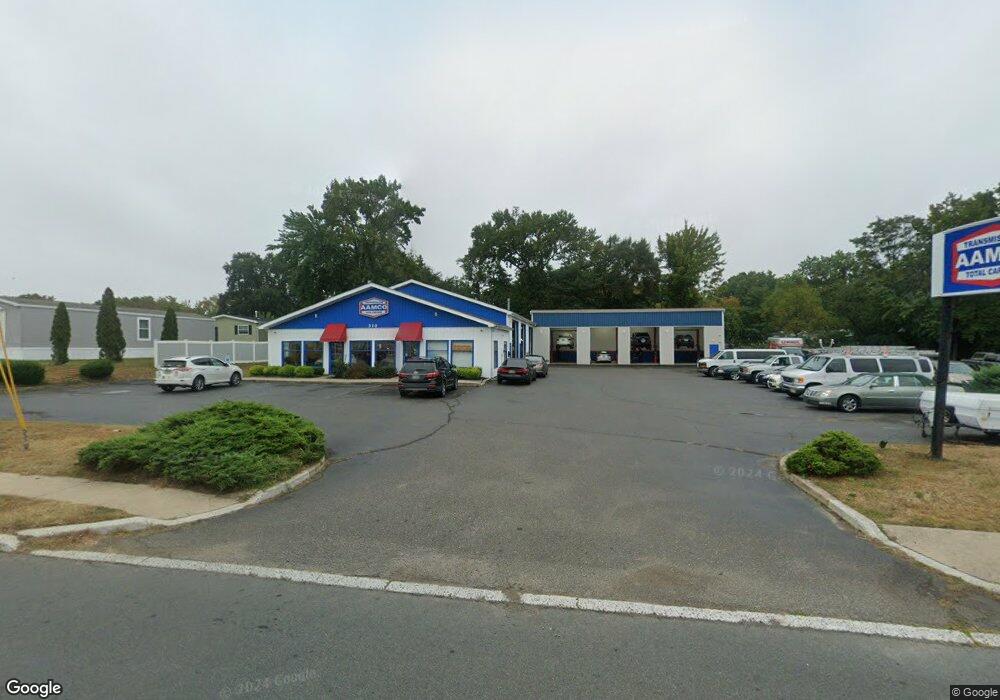
310 State Route 36 Hazlet, NJ 07730
Estimated Value: $1,385,941
--
Bed
--
Bath
6,720
Sq Ft
$206/Sq Ft
Est. Value
About This Home
This home is located at 310 State Route 36, Hazlet, NJ 07730 and is currently estimated at $1,385,941, approximately $206 per square foot. 310 State Route 36 is a home located in Monmouth County with nearby schools including Raritan High School, Baytul-Iman Academy, and St. Ann School.
Ownership History
Date
Name
Owned For
Owner Type
Purchase Details
Closed on
Mar 6, 2018
Sold by
Complete Tire & Auto Repair Inc
Bought by
Cmg Llc
Current Estimated Value
Home Financials for this Owner
Home Financials are based on the most recent Mortgage that was taken out on this home.
Original Mortgage
$745,000
Outstanding Balance
$638,707
Interest Rate
4.4%
Mortgage Type
New Conventional
Estimated Equity
$747,234
Purchase Details
Closed on
Sep 18, 1992
Bought by
Complete Tire & Auto Repair, Inc.
Create a Home Valuation Report for This Property
The Home Valuation Report is an in-depth analysis detailing your home's value as well as a comparison with similar homes in the area
Home Values in the Area
Average Home Value in this Area
Purchase History
| Date | Buyer | Sale Price | Title Company |
|---|---|---|---|
| Cmg Llc | $800,000 | Elite Title Group Llc | |
| Complete Tire & Auto Repair, Inc. | $385,000 | -- |
Source: Public Records
Mortgage History
| Date | Status | Borrower | Loan Amount |
|---|---|---|---|
| Open | Cmg Llc | $745,000 |
Source: Public Records
Tax History Compared to Growth
Tax History
| Year | Tax Paid | Tax Assessment Tax Assessment Total Assessment is a certain percentage of the fair market value that is determined by local assessors to be the total taxable value of land and additions on the property. | Land | Improvement |
|---|---|---|---|---|
| 2025 | $22,897 | $1,117,900 | $876,400 | $241,500 |
| 2024 | $22,533 | $1,088,800 | $847,300 | $241,500 |
| 2023 | $22,533 | $1,054,400 | $812,900 | $241,500 |
| 2022 | $23,729 | $977,700 | $736,200 | $241,500 |
| 2021 | $23,729 | $925,100 | $683,600 | $241,500 |
| 2020 | $23,610 | $914,400 | $672,900 | $241,500 |
| 2019 | $23,520 | $896,700 | $655,200 | $241,500 |
| 2018 | $22,945 | $867,500 | $626,000 | $241,500 |
| 2017 | $22,475 | $849,700 | $608,200 | $241,500 |
| 2016 | $22,263 | $844,900 | $603,400 | $241,500 |
| 2015 | $21,967 | $835,900 | $594,400 | $241,500 |
| 2014 | $21,909 | $781,900 | $540,400 | $241,500 |
Source: Public Records
Map
Nearby Homes
- 330 State Route 36
- 5 Justin Ct Unit 96
- 5 Justin Ct
- 1 Robin Rd
- 10 Robin
- 46 Randall Ave
- 30 Randall Ave Unit 63
- 32 Randall Ave Unit 65
- 34 Randall Ave Unit 67
- 17 Gary Ave
- 35 Randall Ave Unit 68
- 37 Randall Ave
- 26 Gary Ave Unit 59
- 16 Gary Ave Unit 49
- 261 State Route 36
- 32 Bayshore Mobile Manor
- 66 Bayshore Mobile Manor
- 19 Woody Terrace
- 53 Bayshore Mobile Manor
- 115 10th St
- 300 State Route 36
- 54 Compass Rd
- 72 Anchor Rd
- 330 New Jersey 36
- 4 Justin Ct Unit 95
- 4 Justin Ct
- 6 Justin Ct Unit 97
- 6 Justin Ct
- 2 Central Ave
- 72 Anchor Ave Unit 17
- 72 Anchor Ave
- 305 New Jersey 36
- 305 State Route 36
- 332 State Route 36
- 83 Bow Ave
- 5 Robin Rd Unit 91A
- 5 Robin Rd
- 9 Robin Rd Unit 42
- 52 Sams
- 336 State Route 36