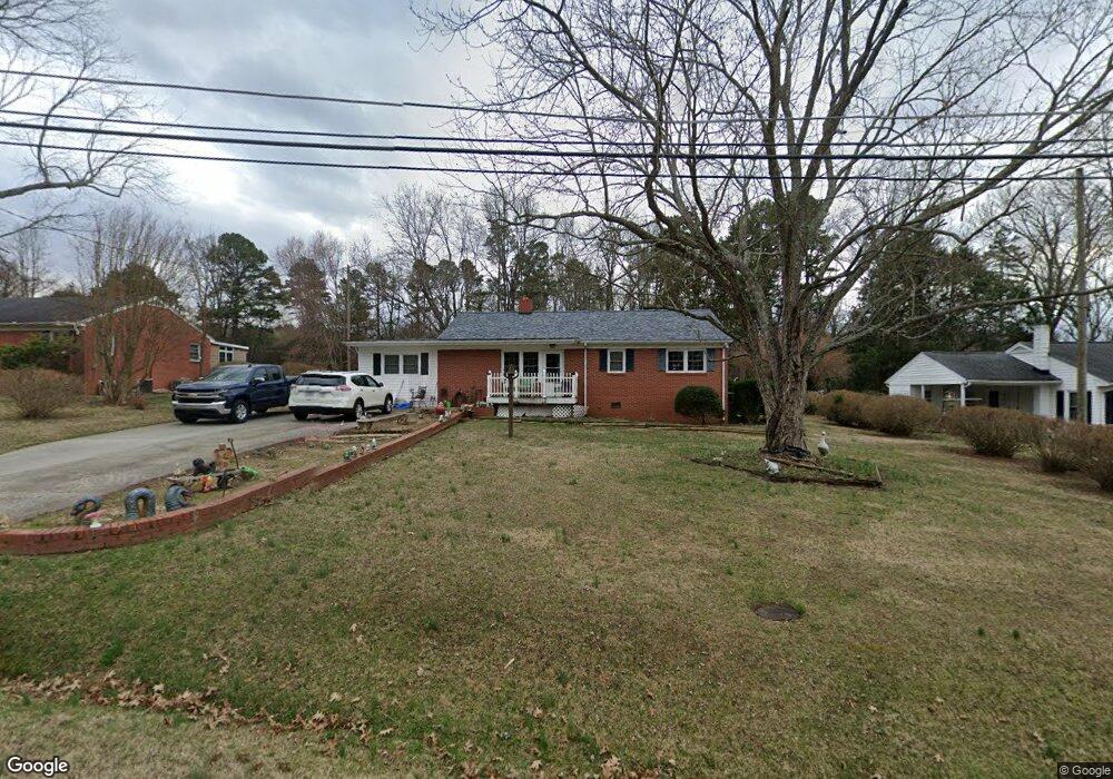
310 Summit Rd High Point, NC 27265
Greater High Point NeighborhoodEstimated Value: $202,000 - $254,000
3
Beds
1
Bath
1,470
Sq Ft
$151/Sq Ft
Est. Value
About This Home
This home is located at 310 Summit Rd, High Point, NC 27265 and is currently estimated at $222,429, approximately $151 per square foot. 310 Summit Rd is a home located in Guilford County with nearby schools including Montlieu Academy of Technology, Welborn Academy of Science & Technology, and T.W. Andrews High School.
Ownership History
Date
Name
Owned For
Owner Type
Purchase Details
Closed on
Apr 20, 2006
Sold by
Saunders Jonah M and Saunders Stephanie T
Bought by
Wood Thomas Dale and Wood Mary Elizabeth
Current Estimated Value
Home Financials for this Owner
Home Financials are based on the most recent Mortgage that was taken out on this home.
Original Mortgage
$85,260
Outstanding Balance
$48,854
Interest Rate
6.31%
Mortgage Type
FHA
Estimated Equity
$173,575
Create a Home Valuation Report for This Property
The Home Valuation Report is an in-depth analysis detailing your home's value as well as a comparison with similar homes in the area
Home Values in the Area
Average Home Value in this Area
Purchase History
| Date | Buyer | Sale Price | Title Company |
|---|---|---|---|
| Wood Thomas Dale | $99,000 | None Available |
Source: Public Records
Mortgage History
| Date | Status | Borrower | Loan Amount |
|---|---|---|---|
| Open | Wood Thomas Dale | $85,260 |
Source: Public Records
Tax History
| Year | Tax Paid | Tax Assessment Tax Assessment Total Assessment is a certain percentage of the fair market value that is determined by local assessors to be the total taxable value of land and additions on the property. | Land | Improvement |
|---|---|---|---|---|
| 2025 | $1,607 | $116,600 | $24,000 | $92,600 |
| 2024 | $1,607 | $116,600 | $24,000 | $92,600 |
| 2023 | $1,607 | $116,600 | $24,000 | $92,600 |
| 2022 | $1,572 | $116,600 | $24,000 | $92,600 |
| 2021 | $1,276 | $92,600 | $15,000 | $77,600 |
| 2020 | $1,276 | $92,600 | $15,000 | $77,600 |
| 2019 | $1,276 | $92,600 | $0 | $0 |
| 2018 | $1,270 | $92,600 | $0 | $0 |
| 2017 | $1,270 | $92,600 | $0 | $0 |
| 2016 | $1,080 | $77,000 | $0 | $0 |
| 2015 | $1,086 | $77,000 | $0 | $0 |
| 2014 | $1,104 | $77,000 | $0 | $0 |
Source: Public Records
Map
Nearby Homes
- 211 Spencer St
- 2429 Dukes Hollow Ct
- 2101 Arbrook Ln
- 600 Greensboro Rd
- 1746 Stoneybrook Dr
- 2622 Woodruff Ave
- 2507 Suffolk Ave
- 1711 Hanover Ct
- 3100 Stratford Ct
- 2700 Edenridge Dr
- 2507 E Lexington Ave
- 2007 Carlisle Way
- 2005 Carlisle Way
- 1227 Greensboro Rd
- 2511 Copperleaf Ct
- 2706 Edenridge Dr
- 2674 Splitbrooke Dr
- 1706 Lazy Ln
- 2606 Wexford Place
- 1007 Gordon St
- 308 Summit Rd
- 312 Summit Rd
- 306 Summit Rd
- 314 Summit Rd
- 309 Summit Rd
- 313 Summit Rd
- 316 Summit Rd
- 315 Summit Rd
- 318 Summit Rd
- 317 Summit Rd
- 320 Summit Rd
- 1602 Deep River Rd
- 322 Summit Rd
- 1520 Deep River Rd
- 315 Hickory Ln
- 1604 Deep River Rd
- 1516 Deep River Rd
- 307 Hickory Ln
- 313 Hickory Ln
- 324 Summit Rd