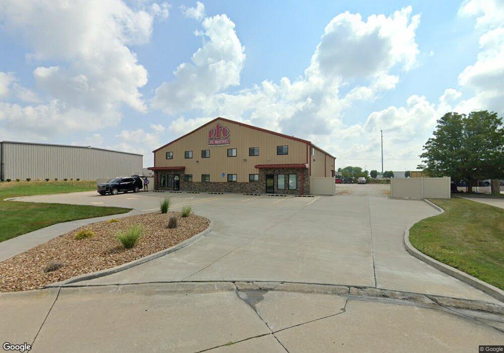
310 Tcw Ct Lake Saint Louis, MO 63367
--
Bed
--
Bath
5,600
Sq Ft
1
Acres
About This Home
This home is located at 310 Tcw Ct, Lake Saint Louis, MO 63367. 310 Tcw Ct is a home located in St. Charles County with nearby schools including Prairie View Elementary School, Frontier Middle School, and Liberty High School.
Ownership History
Date
Name
Owned For
Owner Type
Purchase Details
Closed on
Jan 12, 2016
Sold by
Henson Electric Inc
Bought by
Lim Properties Llc
Home Financials for this Owner
Home Financials are based on the most recent Mortgage that was taken out on this home.
Original Mortgage
$90,000
Outstanding Balance
$55,340
Interest Rate
4.01%
Mortgage Type
Future Advance Clause Open End Mortgage
Purchase Details
Closed on
Oct 21, 2003
Sold by
T C W Family Lp
Bought by
Henson Electric Inc
Home Financials for this Owner
Home Financials are based on the most recent Mortgage that was taken out on this home.
Original Mortgage
$78,750
Interest Rate
6.1%
Mortgage Type
Commercial
Create a Home Valuation Report for This Property
The Home Valuation Report is an in-depth analysis detailing your home's value as well as a comparison with similar homes in the area
Home Values in the Area
Average Home Value in this Area
Purchase History
| Date | Buyer | Sale Price | Title Company |
|---|---|---|---|
| Lim Properties Llc | $90,000 | Sec | |
| Henson Electric Inc | $105,000 | -- |
Source: Public Records
Mortgage History
| Date | Status | Borrower | Loan Amount |
|---|---|---|---|
| Open | Lim Properties Llc | $90,000 | |
| Previous Owner | Henson Electric Inc | $78,750 |
Source: Public Records
Tax History Compared to Growth
Tax History
| Year | Tax Paid | Tax Assessment Tax Assessment Total Assessment is a certain percentage of the fair market value that is determined by local assessors to be the total taxable value of land and additions on the property. | Land | Improvement |
|---|---|---|---|---|
| 2025 | $14,999 | $216,664 | -- | -- |
| 2023 | $14,999 | $206,108 | $0 | $0 |
| 2022 | $14,236 | $194,410 | $0 | $0 |
| 2021 | $14,250 | $194,410 | $0 | $0 |
| 2020 | $14,848 | $194,878 | $0 | $0 |
| 2019 | $13,854 | $194,878 | $0 | $0 |
| 2018 | $16,033 | $215,672 | $0 | $0 |
| 2017 | $5,097 | $60,351 | $0 | $0 |
| 2016 | $2,243 | $28,994 | $0 | $0 |
| 2015 | $2,215 | $28,994 | $0 | $0 |
| 2014 | $2,075 | $28,994 | $0 | $0 |
Source: Public Records
Map
Nearby Homes
- LOT #1B Wies Industrial Dr
- LOT #1C Wies Industrial Dr
- Orf Road Orf Rd
- 415 Filipp Ln
- 339 Wyndemere Dr
- 235 Greengate Dr
- 396 Haycastle Dr
- 280 Osprey Ct
- 2 Hickory at Hawk Ridge Estate
- 2 Nottingham at Hawk Ridge
- 286 Osprey Ct
- 103 Eckstein Ln
- 2 Pin Oak at Hawk Ridge Estate
- 288 Osprey Ct
- 2 Sequoia at Hawk Ridge Estate
- 2 Hermitage II at Hawk Ridge
- 320 Briarchase Cir
- 306 Osprey Ct
- 23 Bluestem Ct
- 2 Maple Expanded at Bluestem Estate
- 308 Tcw Ct
- 306 Tcw Ct
- 615 Glen Brook Ct
- 617 Glen Brook Ct
- 16 Glen Brook Cir
- 13 Glen Brook Cir
- 618 Glen Brook Ct
- 613 Glen Brook Ct
- 8670 Orf Rd
- 614 Glen Brook Ct
- 616 Glen Brook Ct
- 720 Brook Manor Ct
- 610 Glen Brook Ct
- 8706 Orf Rd
- 611 Glen Brook Ct
- 721 Brook Manor Ct
- 608 Glen Brook Ct
- 718 Brook Manor Ct
- 8109 Glen Arbor Dr
- 8111 Glen Arbor Dr