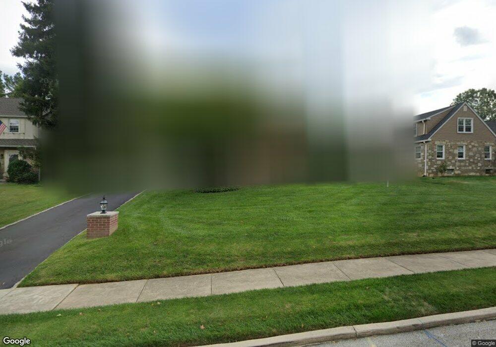
310 Tee Rd Glenside, PA 19038
Estimated Value: $634,105 - $758,000
3
Beds
2
Baths
2,309
Sq Ft
$300/Sq Ft
Est. Value
About This Home
This home is located at 310 Tee Rd, Glenside, PA 19038 and is currently estimated at $692,026, approximately $299 per square foot. 310 Tee Rd is a home located in Montgomery County with nearby schools including Enfield Elementary School, Erdenheim Elementary School, and Springfield Township Middle School.
Ownership History
Date
Name
Owned For
Owner Type
Purchase Details
Closed on
Nov 16, 2005
Sold by
Weiss Craig C and Weiss Sara F
Bought by
Gerhard Richard T and Reedy Jodee L
Current Estimated Value
Home Financials for this Owner
Home Financials are based on the most recent Mortgage that was taken out on this home.
Original Mortgage
$120,000
Outstanding Balance
$66,541
Interest Rate
6.14%
Estimated Equity
$625,485
Purchase Details
Closed on
May 24, 2000
Sold by
Zwicker Edward C and Zwicker Joy Lynn
Bought by
Weiss Craig C and Weiss Sara F
Create a Home Valuation Report for This Property
The Home Valuation Report is an in-depth analysis detailing your home's value as well as a comparison with similar homes in the area
Home Values in the Area
Average Home Value in this Area
Purchase History
| Date | Buyer | Sale Price | Title Company |
|---|---|---|---|
| Gerhard Richard T | $400,000 | -- | |
| Weiss Craig C | $235,000 | -- |
Source: Public Records
Mortgage History
| Date | Status | Borrower | Loan Amount |
|---|---|---|---|
| Open | Gerhard Richard T | $120,000 | |
| Open | Gerhard Richard T | $200,000 |
Source: Public Records
Tax History
| Year | Tax Paid | Tax Assessment Tax Assessment Total Assessment is a certain percentage of the fair market value that is determined by local assessors to be the total taxable value of land and additions on the property. | Land | Improvement |
|---|---|---|---|---|
| 2025 | $9,923 | $210,680 | -- | -- |
| 2024 | $9,923 | $210,680 | -- | -- |
| 2023 | $9,578 | $210,680 | $0 | $0 |
| 2022 | $9,304 | $210,680 | $0 | $0 |
| 2021 | $9,061 | $210,680 | $0 | $0 |
| 2020 | $8,442 | $201,000 | $0 | $0 |
| 2019 | $8,312 | $201,000 | $0 | $0 |
| 2018 | $8,312 | $201,000 | $0 | $0 |
| 2017 | $7,935 | $201,000 | $0 | $0 |
| 2016 | $7,856 | $201,000 | $0 | $0 |
| 2015 | $7,469 | $201,000 | $0 | $0 |
| 2014 | $7,469 | $201,000 | $0 | $0 |
Source: Public Records
Map
Nearby Homes
- 505 Station Ave
- 910 Edann Rd
- 513 Waln Rd
- 57 Chelfield Rd
- 302 Garth Rd
- 404 Enfield Rd
- 514 Kingston Rd
- 65 Limekiln Pike
- 208 Limekiln Pike
- 523 W Glenside Ave
- 250 Logan Ave
- 257 Girard Ave
- 442 Oreland Mill Rd
- 152 Egerton Ave
- 3009 Limekiln Pike
- 238 Plymouth Ave
- 8308 Cobden Rd
- 323 W Waverly Rd
- 1650 E Willow Grove Ave
- 2718 Hawthorne Rd
Your Personal Tour Guide
Ask me questions while you tour the home.